
1892 Map of Fort Defiance
USGS Topo · Published 1892About this map
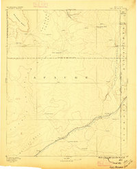
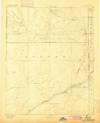
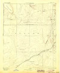
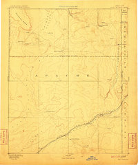
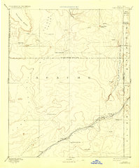
Fort Defiance stands as the primary outpost on the eastern edge of this 1880s landscape, positioned near the Arizona New Mexico Boundary Line. The terrain is defined by dramatic landforms such as Salahkai Mesa and Eagle Crag, with the wide Chinlee Valley cutting through the northern reaches. Settlement patterns follow the critical water sources and transportation corridors of the high desert, specifically along the Rio Puerco of the West and the Pueblo Colorado Wash.
Find a feature on this map
31 named features on this map. Tap any name to fly to it.
Don’t see what you’re looking for? This feature index may not catch every label — zoom into the map to look around manually.
Map Details
Editions of this 1892 Fort Defiance Map
6 editions found
Other maps of this area

1883 · Marsh Pass
USGS Topo · 1:250,000

1883 · Tusayan
USGS Topo · 1:250,000

1886 · St Johns
USGS Topo · 1:250,000

1886 · Wingate
USGS Topo · 1:250,000

1886 · Tusayan
USGS Topo · 1:250,000

1886 · Fort Defiance
USGS Topo · 1:250,000

1886 · Holbrook
USGS Topo · 1:250,000

1889 · Chaco
USGS Topo · 1:250,000

1892 · Marsh Pass
USGS Topo · 1:250,000

1892 · St Johns
USGS Topo · 1:250,000
Featured Places
- Chinle Agency, AZ
- Fort Defiance Agency
- Fort Defiance, Fort Defiance Agency
- Window Rock, Fort Defiance Agency
- Eastern Navajo Agency, NM