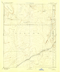
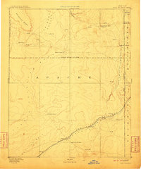
1892 Map of Fort Defiance
USGS Topo · Published 1933About this map
Fort Defiance stands as the primary hub of activity in this high-desert territory, situated near the northeastern corner of the map. The landscape is defined by its water sources and high elevations, from the broad Salahkai Mesa to the drainage of Nazlini Creek. Human activity is concentrated along the southern corridor where the Atlantic and Pacific RR follows the Puerco River, connecting small settlements and rail stops like Allantown, Sanders, and Billings.
Find a feature on this map
31 named features on this map. Tap any name to fly to it.
Don’t see what you’re looking for? This feature index may not catch every label — zoom into the map to look around manually.
Map Details
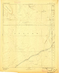
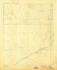
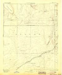
Editions of this 1892 Fort Defiance Map
6 editions found
Other maps of this area

1883 · Marsh Pass
USGS Topo · 1:250,000

1883 · Tusayan
USGS Topo · 1:250,000

1886 · St Johns
USGS Topo · 1:250,000

1886 · Wingate
USGS Topo · 1:250,000

1886 · Tusayan
USGS Topo · 1:250,000

1886 · Fort Defiance
USGS Topo · 1:250,000

1886 · Holbrook
USGS Topo · 1:250,000

1889 · Chaco
USGS Topo · 1:250,000

1892 · Fort Defiance
USGS Topo · 1:250,000

1892 · Marsh Pass
USGS Topo · 1:250,000
Featured Places
- Chinle Agency, AZ
- Fort Defiance Agency
- Fort Defiance, Fort Defiance Agency
- Window Rock, Fort Defiance Agency
- Eastern Navajo Agency, NM