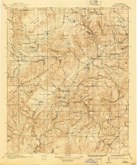
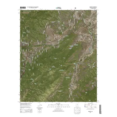
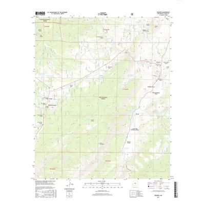
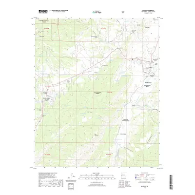
1915 Map of Reserve
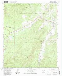
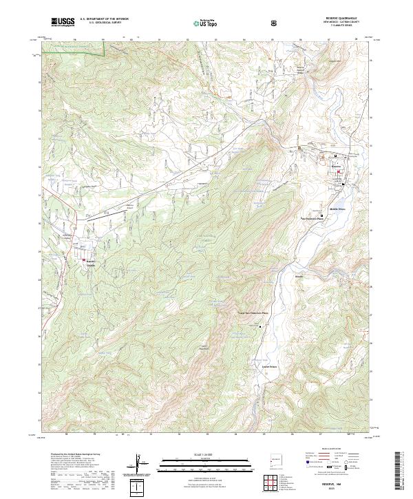
USGS Topo · Published 1960About this map
The San Francisco River and its deep mountain canyons dominate this 1915 landscape, where early New Mexico settlements like San Francisco Plaza and Lower San Francisco Plaza were established along the water's edge. This era reflects the heavy administrative footprint of the National Forest system, with the Tularosa Ranger Station, Jewett Ranger Station, and other ranger outposts scattered throughout the Gila National Forest and Tularosa National Forest. These stations were essential for managing the timber and grazing lands that supported local industry.
Find a feature on this map
67 named features on this map. Tap any name to fly to it.
Don’t see what you’re looking for? This feature index may not catch every label — zoom into the map to look around manually.
Map Details
Editions of this 1915 Reserve Map
This is the sole edition of this map. No revisions or reprints were ever made.
Historical Maps of Reserve Through Time
9 maps found