
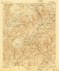
1918 Map of Reserve
USGS Topo · Published 1918About this map
San Francisco Plaza and Lower San Francisco Plaza serve as the primary hubs along the San Francisco River in this high-altitude landscape. Published just before the modern era of ranching and forestry took hold, the map reveals a remote territory governed by the Datil National Forest and Gila National Forest. The presence of Stevens Sawmill and numerous ranger outposts like the Jewett Ranger Station and Tularosa Ranger Station underscores the early 20th-century reliance on timber and federal land management.
Find a feature on this map
104 named features on this map. Tap any name to fly to it.
Don’t see what you’re looking for? This feature index may not catch every label — zoom into the map to look around manually.
Map Details
Editions of this 1918 Reserve Map
2 editions found
Other maps of this area

1886 · St Johns
USGS Topo · 1:250,000

1892 · St Johns
USGS Topo · 1:250,000

1910 · Mogollon
USGS Topo · 1:125,000

1911 · Alum Mountain
USGS Topo · 1:125,000

1912 · Mogollon
USGS Topo · 1:125,000

1913 · Alum Mountain
USGS Topo · 1:125,000

1913 · Morenci
USGS Topo · 1:125,000

1915 · Morenci
USGS Topo · 1:125,000

1915 · Reserve
USGS Topo · 1:125,000

1918 · Pelona
USGS Topo · 1:125,000