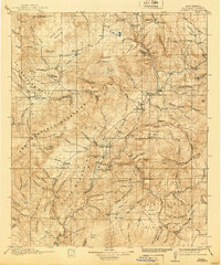
1918 Map of Reserve
USGS Topo · Published 1940About this map
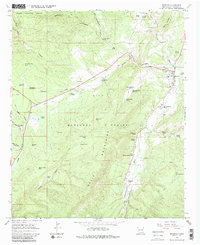
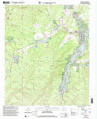
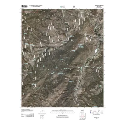
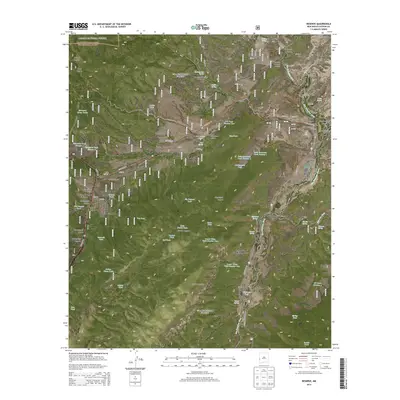
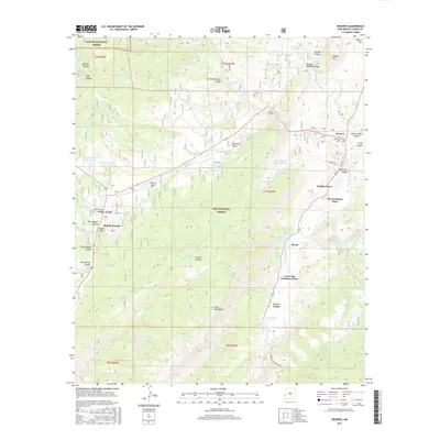
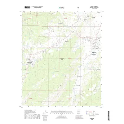
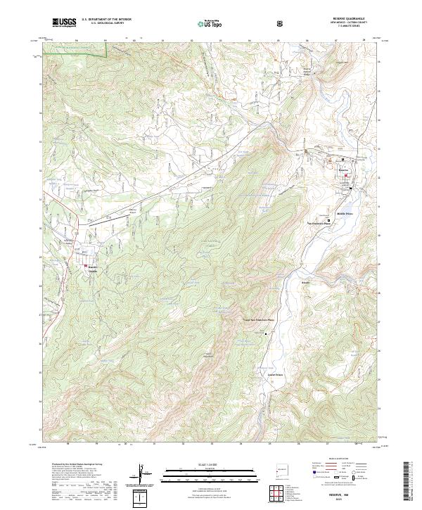
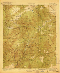
Reserve serves as the focal point of this mountainous region within the Gila National Forest, where the San Francisco River and Tularosa River converge. Surveyed in 1915, the map documents a network of ranger stations—including Jewett, Luna, and Tularosa—reflecting early 20th-century federal forest management. Settlement patterns are concentrated in the river valleys, notably at San Francisco Plaza and Lower San Francisco Plaza, while industry is represented by Stevens Sawmill. The landscape is dominated by significant elevations such as Elk Mountain and the San Francisco Mountains, with the Continental Divide winding through the eastern portion of the quadrangle. Early transportation routes like the Magdalena Road and Luna Road connect these remote outposts, tracing the natural contours of the high-altitude basins and mesas.
Find a feature on this map
59 named features on this map. Tap any name to fly to it.
Don’t see what you’re looking for? This feature index may not catch every label — zoom into the map to look around manually.
Map Details
Editions of this 1918 Reserve Map
2 editions found
Historical Maps of Reserve Through Time
9 maps found