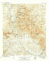
1910 Map of Mogollon
USGS Topo · Published 1964About this map
Mogollon and the adjacent camp of Cooney serve as the industrial heart of this territory, where the complex network of Mineral Creek and Silver Creek supported a burgeoning mining district. The presence of a Power Plant near Graham underscores the technical development of the region at this time, while the Meaders Stage Sta on the edge of the Mogollon Mountains highlights the era’s reliance on stage lines for transit through the high country.
Find a feature on this map
115 named features on this map. Tap any name to fly to it.
Don’t see what you’re looking for? This feature index may not catch every label — zoom into the map to look around manually.
Map Details
Editions of this 1910 Mogollon Map
2 editions found
Other maps of this area

1909 · Silver City
USGS Topo · 1:125,000

1910 · Mogollon
USGS Topo · 1:125,000

1911 · Alum Mountain
USGS Topo · 1:125,000

1912 · Mogollon
USGS Topo · 1:125,000

1913 · Alum Mountain
USGS Topo · 1:125,000

1913 · Morenci
USGS Topo · 1:125,000

1915 · Morenci
USGS Topo · 1:125,000

1915 · Reserve
USGS Topo · 1:125,000

1918 · Pelona
USGS Topo · 1:125,000

1918 · Reserve
USGS Topo · 1:125,000