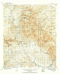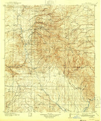
1912 Map of Mogollon
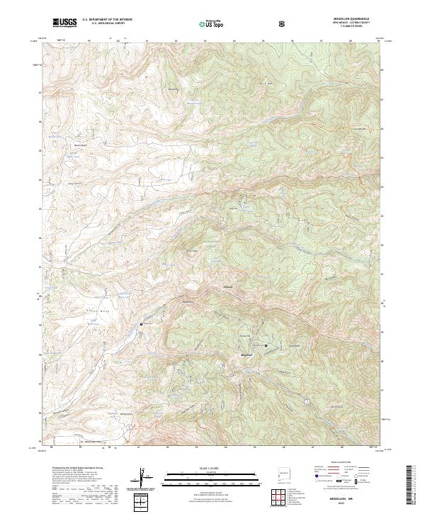
USGS Topo · Published 1943About this map
The high mining country of the Mogollon Mountains dominates this landscape, surveyed shortly after the turn of the century when gold and silver extraction was at its peak. The town of Mogollon serves as the industrial hub, connected to the valley floor by steep roads and the presence of the Confidence Mine. Along the San Francisco River, early agricultural settlements like Alma, Glenwood, and Pleasanton provided necessary supplies and transit points for the remote mountain camps. The map documents the early infrastructure of the Gila National Forest, including numerous outposts such as Rangers Cabin and the Meador Stage Sta. To the south and east, the terrain opens into high cattle country, where the 74 Ranch, Box N Ranch, and 1916 Ranch mark the expansion of the territorial ranching economy near Cactus Flat.
Find a feature on this map
125 named features on this map. Tap any name to fly to it.
Don’t see what you’re looking for? This feature index may not catch every label — zoom into the map to look around manually.
Map Details
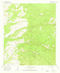
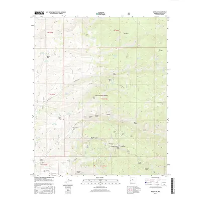
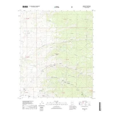
Editions of this 1912 Mogollon Map
2 editions found

Historical Maps of Claremont Through Time
9 maps found