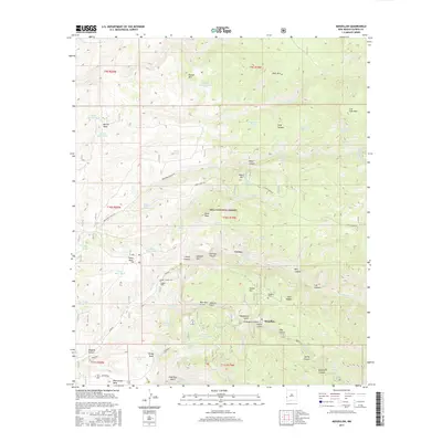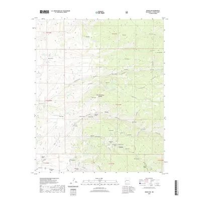
1963 Map of Mogollon
USGS Topo · Published 1973About this map
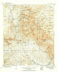
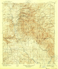
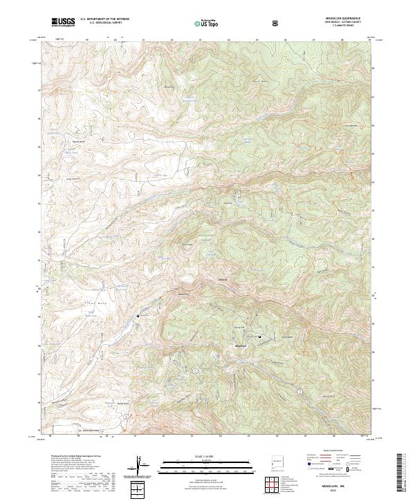
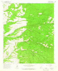
The silver and gold mining district of Mogollon dominates this 1963 survey of the Gila National Forest, revealing an industrial landscape etched into the Mogollon Mountains. The density of mining operations is remarkable, particularly surrounding Fannie Hill, where clusters of mine dumps and specialized infrastructure like the Fannie Mine, Little Charlie Mine, and Trilby Mine mark the height of extraction in the area. The map serves as a vital record for genealogists and industrial historians, documenting the exact locations of historic claims such as the Confidence Mine, Last Chance Mine, and Deadwood Mine. Beyond the active shafts, the survey identifies the Cooney (Site), preserving the location of earlier mining camps. Rugged transportation routes like the Bursum Road and various jeep trails connect these isolated operations to cattle ranching outposts like Deep Creek Ranch and Oaks Ranch to the west.
Find a feature on this map
80 named features on this map. Tap any name to fly to it.
Don’t see what you’re looking for? This feature index may not catch every label — zoom into the map to look around manually.
Map Details
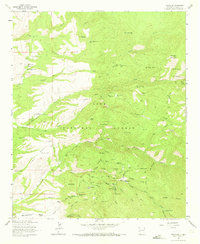
Editions of this 1963 Mogollon Map
2 editions found
Historical Maps of Claremont Through Time
9 maps found