
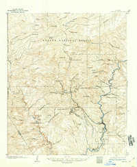
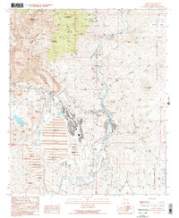
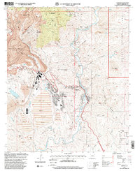
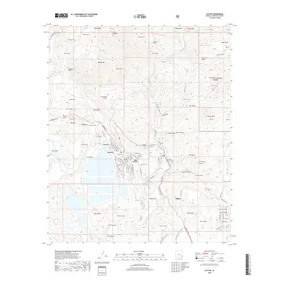
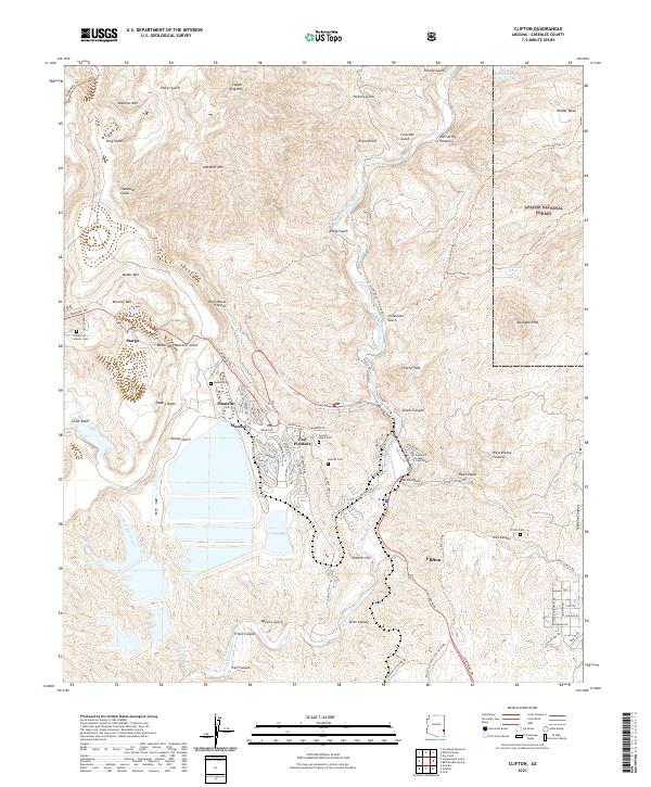
1962 Map of Clifton
USGS Topo · Published 1962About this map
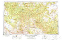
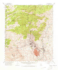
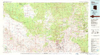
Morenci and Clifton serve as the industrial anchors for this region of the Arizona-New Mexico border, where the landscape is defined by the massive copper mining operations near Metcalf and Plantsite. The terrain transitions sharply from the high Mogollon Rim and the Continental Divide down to the rugged canyons of the Gila River and San Francisco River. Much of the territory is managed under the Apache National Forest and Gila National Forest, preserving a network of isolated outposts like Honeymoon and Strayhorse. For the genealogist or researcher, the map preserves the location of numerous family-run operations such as the Double Circle Ranch, Juan Miller Ranch, and Mulligan Hay Camp. Transport through this difficult country relied on the Southern Pacific railroad and the winding paths of U.S. 666.
Find a feature on this map
145 named features on this map. Tap any name to fly to it.
Don’t see what you’re looking for? This feature index may not catch every label — zoom into the map to look around manually.
Map Details
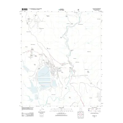
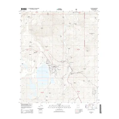
Editions of this 1962 Clifton Map
This is the sole edition of this map. No revisions or reprints were ever made.
Historical Maps of Whiteriver Through Time
13 maps found
1902 Clifton
Greenlee County, AZ
1954 Clifton
Greenlee County, AZ

1957 Clifton
Greenlee County, AZ

1958 Clifton
Greenlee County, AZ
1962 Clifton
Greenlee County, AZ
1962 Clifton
Greenlee County, AZ
1986 Clifton
Greenlee County, AZ
1989 Clifton
Greenlee County, AZ
1997 Clifton
Greenlee County, AZ
2011 Clifton
Greenlee County, AZ
2014 Clifton
Greenlee County, AZ
2018 Clifton
Greenlee County, AZ
2021 Clifton
Greenlee County, AZ