
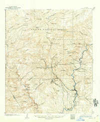
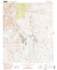
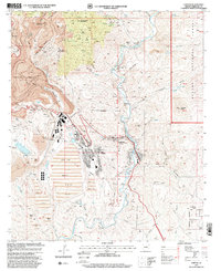
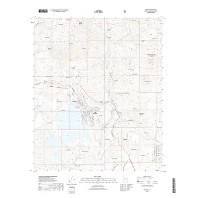
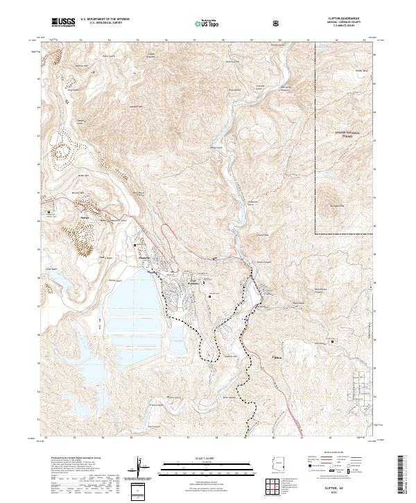
1957 Map of Clifton
USGS Topo · Published 1957About this map
Industrial and copper-mining hubs like Morenci, Plantsite, and Clifton anchor the southern portion of this high-altitude landscape, where the San Francisco River meets the Gila River. In the mid-1950s, this area of the Southwest remained dominated by federal and tribal lands, including the Gila National Forest, Apache National Forest, and the San Carlos Indian Reservation. The geography is defined by significant vertical relief, ranging from the high peaks of the White Mountains and Mogollon Rim down to the arid basins of the Plains of Saint Augustine. Transport in the era relied on the winding Coronado Trail and the Southern Pacific railroad, which followed the river valleys to service the remote settlements and ranching outposts like Reserve and Glenwood near the Arizona and New Mexico border.
Find a feature on this map
90 named features on this map. Tap any name to fly to it.
Don’t see what you’re looking for? This feature index may not catch every label — zoom into the map to look around manually.
Map Details
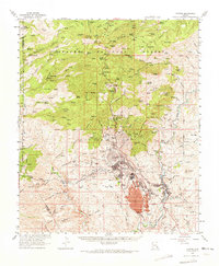
Editions of this 1957 Clifton Map
This is the sole edition of this map. No revisions or reprints were ever made.
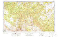
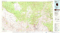
Historical Maps of Whiteriver Through Time
13 maps found
1902 Clifton
Greenlee County, AZ
1954 Clifton
Greenlee County, AZ
1957 Clifton
Greenlee County, AZ

1958 Clifton
Greenlee County, AZ

1962 Clifton
Greenlee County, AZ
1962 Clifton
Greenlee County, AZ
1986 Clifton
Greenlee County, AZ
1989 Clifton
Greenlee County, AZ
1997 Clifton
Greenlee County, AZ
2011 Clifton
Greenlee County, AZ
2014 Clifton
Greenlee County, AZ
2018 Clifton
Greenlee County, AZ
2021 Clifton
Greenlee County, AZ