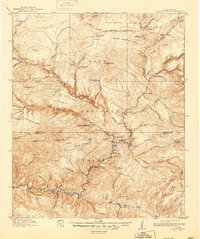
1913 Map of Alum Mountain
USGS Topo · Published 1947About this map
Gila Cliff Dwellings National Monument stands at the heart of this high-country landscape, where the confluence of the Middle Fork and West Fork forms the Gila River. Based on fieldwork from 1910–1911, the topography reveals a remote network of ranching outposts and rugged homesteads including T Bar Ranch, XSX Ranch, and the V Cross T Headquarters. The presence of the Meerschaum Mine and the small settlement of Meerschaum near the southern edge indicates the era's localized mineral extraction.
Find a feature on this map
95 named features on this map. Tap any name to fly to it.
Don’t see what you’re looking for? This feature index may not catch every label — zoom into the map to look around manually.
Map Details
Editions of this 1913 Alum Mountain Map
3 editions found
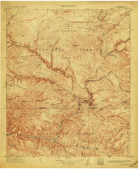
Other maps of this area

1909 · Silver City
USGS Topo · 1:125,000

1910 · Mogollon
USGS Topo · 1:125,000

1911 · Alum Mountain
USGS Topo · 1:125,000

1912 · Mogollon
USGS Topo · 1:125,000

1913 · Alum Mountain
USGS Topo · 1:125,000

1915 · Reserve
USGS Topo · 1:125,000

1918 · Pelona
USGS Topo · 1:125,000

1918 · Reserve
USGS Topo · 1:125,000

1947 · Allie Canyon
USGS Topo · 1:24,000

1947 · Twin Sisters
USGS Topo · 1:24,000