
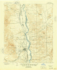
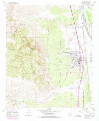
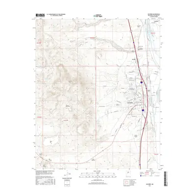
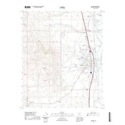
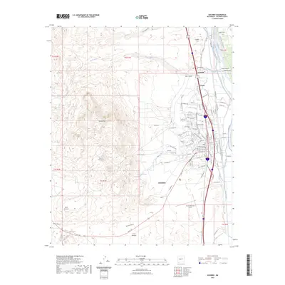
1958 Map of Socorro
USGS Topo · Published 1958About this map
The Rio Grande corridor serves as the primary artery for settlement and transport through this New Mexican landscape, flanked by the Atchison Topeka and Santa Fe railroad. Central hubs like Socorro, Belen, and Magdalena anchor a region defined by extensive land grants and tribal lands, including the Acoma Pueblo Grant and the Isleta Indian Reservation. To the west, the arid geography is dominated by volcanic features like Lava fields and prominent heights such as Cebolleta Peak, while the eastern portion is framed by the Manzano Mountains and the farming community of Estancia. Industrial activity is evident in the foothills where the Socorro Mine and Manganese Mill reflect the mid-century mining economy. This survey captures a transition in high-desert land use, where traditional ranching at sites like Marmon Ranch coexists with the emerging infrastructure of U.S. 60 and the Sandia Military Reservation.
Find a feature on this map
124 named features on this map. Tap any name to fly to it.
Don’t see what you’re looking for? This feature index may not catch every label — zoom into the map to look around manually.
Map Details
Editions of this 1958 Socorro Map
This is the sole edition of this map. No revisions or reprints were ever made.
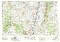
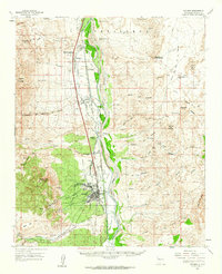
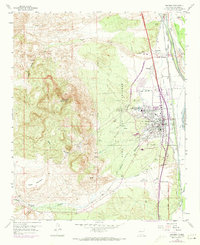
Historical Maps of Albuquerque Through Time
13 maps found
1906 Socorro
Socorro County, NM
1954 Socorro
Socorro County, NM
1958 Socorro
Socorro County, NM
1959 Socorro
Socorro County, NM
1959 Socorro
Socorro County, NM

1962 Socorro
Socorro County, NM
1979 Socorro
Socorro County, NM
1979 Socorro
Socorro County, NM
2010 Socorro
Socorro County, NM
2013 Socorro
Socorro County, NM
2017 Socorro
Socorro County, NM
2020 Socorro
Socorro County, NM
2023 Socorro
Socorro County, NM