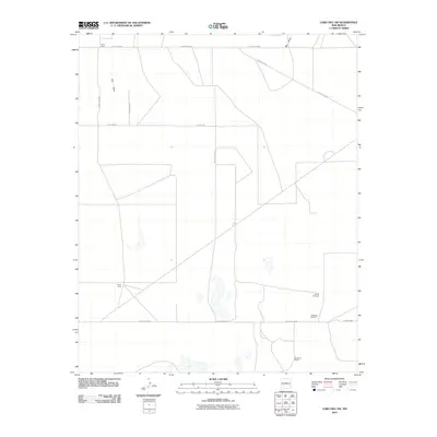
2010 Map of Lobo Hill SW
USGS Topo · Published 2010About this map
Price Ranch and Berkshire Ranch anchor this arid high-desert landscape in Torrance County, where the settlement pattern is defined by isolated ranching outposts and essential water infrastructure. The presence of Sprule Windmill and Piedroso Windmill underscores the critical importance of groundwater for sustaining life and livestock in this environment. Natural drainage features such as Salt Draw and Big Draw cut across the territory, which is otherwise organized by a sparse grid of rural roads including Iceplant Rd and Harrington Rd. Green Camp provides a notable point of human activity within this open country, illustrating the modest scale of development in the region during the early twenty-first century.
Find a feature on this map
14 named features on this map. Tap any name to fly to it.
Don’t see what you’re looking for? This feature index may not catch every label — zoom into the map to look around manually.
Map Details
Editions of this 2010 Lobo Hill SW Map
This is the sole edition of this map. No revisions or reprints were ever made.
Other maps of this area

1917 · Estancia
USGS Topo · 1:125,000

1954 · Fort Sumner
USGS Topo · 1:250,000

1954 · Socorro
USGS Topo · 1:250,000

1956 · Estancia
USGS Topo · 1:62,500

1956 · Mountainair
USGS Topo · 1:62,500

1958 · Socorro
USGS Topo · 1:250,000

1958 · Fort Sumner
USGS Topo · 1:250,000

1960 · Lobo Hill
USGS Topo · 1:62,500

1962 · Socorro
USGS Topo · 1:250,000

1978 · Laguna Del Perro North
USGS Topo · 1:24,000