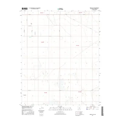
2017 Map of Lobo Hill SW
USGS Topo · Published 2017About this map
Estancia and its surrounding high-plains landscape are captured in this 2017 topographic survey, showing a network of rural county roads that define the region's ranching and agricultural character. Water remains a critical feature of this arid terrain, marked by the presence of Salt Draw and the isolated Cieneguita Spring. The map documents a sparse but deliberate infrastructure where family and descriptive names like Burroughs Rd, Harrington Rd, and Alan Myers Rd crisscross the grid. Unique industrial and environmental markers such as Ice Plant Rd and Willow Lake Rd provide clues to the local economy and land use during this era. The detailed section lines and townships, including t7n r9e and t8n r10e, underscore the orderly division of the New Mexico interior.
Find a feature on this map
20 named features on this map. Tap any name to fly to it.
Don’t see what you’re looking for? This feature index may not catch every label — zoom into the map to look around manually.
Map Details
Editions of this 2017 Lobo Hill SW Map
This is the sole edition of this map. No revisions or reprints were ever made.
Other maps of this area

1917 · Estancia
USGS Topo · 1:125,000

1954 · Fort Sumner
USGS Topo · 1:250,000

1954 · Socorro
USGS Topo · 1:250,000

1956 · Estancia
USGS Topo · 1:62,500

1956 · Mountainair
USGS Topo · 1:62,500

1958 · Socorro
USGS Topo · 1:250,000

1958 · Fort Sumner
USGS Topo · 1:250,000

1960 · Lobo Hill
USGS Topo · 1:62,500

1962 · Socorro
USGS Topo · 1:250,000

1978 · Laguna Del Perro North
USGS Topo · 1:24,000