Old Maps of Clayton, New Mexico for Genealogy
Trace your family roots with 18 historic maps of Clayton. These high-res maps reveal old neighborhoods, homesites, landmarks, and streets — helping you uncover where your ancestors lived and how the area evolved over time.
- Explore historic neighborhoods: Identify where your relatives may have lived in the 1800s or 1900s.
- Compare maps over time: Trace the changes in streets, buildings, and landmarks for multi-generational research.
- Perfect for genealogy & ancestry research: Used by family historians and researchers to map out lineage and migration.
These maps are an incredible resource for exploring your personal connection to Clayton's past.
Clayton, NM maps
(18)- 1954 Map of Dalhart, 1967 Print
 1954 Dalhart1967 Print · USGSThe High Plains at the junction of four states come alive in the mid-fifties, showing a landscape of rail-hub towns and cattle country. Trace the Old Santa Fe Trail or locate mid-century industrial sites like the Dry ice plant and Carbon Dioxide Works.2 unique versions available
 - 1958 Map of Dalhart
 1958 Dalhart1958 Print · USGSThe High Plains of the tri-state border region come alive in this mid-century survey of the ranching and rail territory around the Texas Panhandle. Genealogists and historians can trace the paths of the Atchison Topeka & Santa Fe Ry, military outposts like Dalhart Air Force No 1, and early settlements such as Pasamonte and Texline.2 unique versions available
 - 1962 Map of Dalhart
 1962 Dalhart1962 Print · USGSThe High Plains and volcanic peaks of the tri-state area are shown in detail during the early sixties. Genealogists and historians can trace the rail corridors of the Fort Worth and Denver and find industrial sites like the Cactus Ordnance Works or the Beaver Meade & Englewood Grain Elevator.
 - 1970 Map of Clayton, 1973 Print
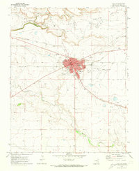 1970 Clayton1973 Print · USGSClayton thrived as a high-plains transportation and agricultural center during the early 1970s. Genealogists and local historians can trace the town's development through landmarks like Alvis School, the Clayton Cemetery, and the Fairground.
 - 1970 Map of Texline North, 1973 Print
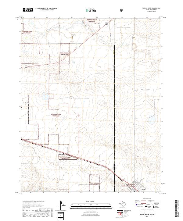
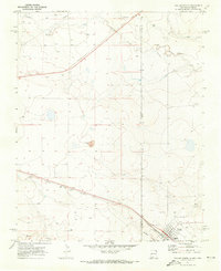 1970 Texline North1973 Print · USGSThe high plains borderland at the New Mexico and Texas line is captured here in the early seventies as a hub of rail and ranching life. Researchers can trace the junction of the Ft Worth and Denver railroad near Texline and locate local landmarks like the Rodeo Ground and Worsham.
 - 1982 Map of Clayton, 1983 Print
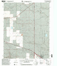
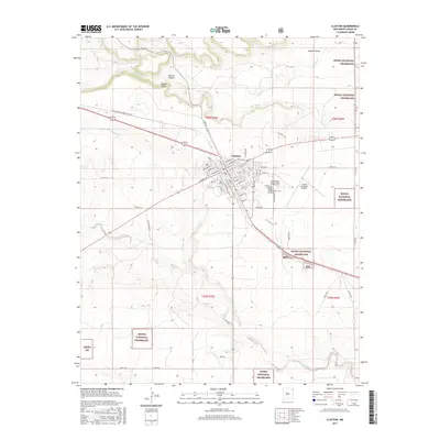
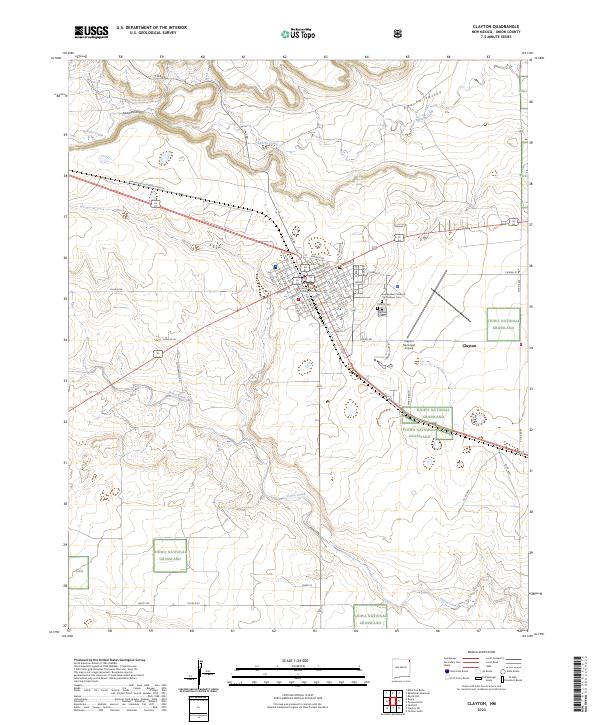
 1982 Clayton1983 Print · USGSThe high plains of northeast New Mexico and the Texas panhandle appear here in the early eighties, centered on the ranching hub of Clayton. Genealogists and historians can trace the paths of the Colorado and Southern railroad or locate remote settlements like Miera, Beenham, and Sofia.
 - 1998 Map of Clayton, 2001 Print
 1998 Clayton2001 Print · USGSClayton stands as a vital rail and ranching center in Union County during the late nineties. Genealogists and local historians can trace civic landmarks like the Ioof Cem, the Drive-in Theater, and the sprawling Kiowa National Grassland.
 - 1998 Map of Texline North, 2001 Print
 1998 Texline North2001 Print · USGSThe High Plains of the late nineties come alive at the meeting point of Texas and New Mexico in this detailed survey. Genealogists and historians can trace the foundations of this cattle-ranching region through the Texline townsite, the Clayton Livestock Research Center, and local landmarks like the Rodeo Ground.
 - 2011 Map of Clayton, 2011 Print
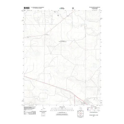
 2011 Clayton2011 Print · USGSCovers Clayton, including Union County, United States, and other nearby areas
 - 2011 Map of Texline North, 2011 Print
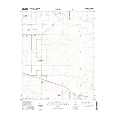
 2011 Texline North2011 Print · USGSCovers Clayton, including Texline, Union County, and other nearby areas
 - 2012 Map of Texline North, 2012 Print
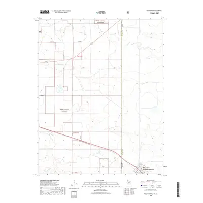
 2012 Texline North2012 Print · USGSCovers Clayton, including Texline, Union County, and other nearby areas
 - 2013 Map of Clayton, 2013 Print
 2013 Clayton2013 Print · USGSCovers Clayton, including Union County, United States, and other nearby areas
 - 2016 Map of Texline North, 2016 Print
 2016 Texline North2016 Print · USGSCovers Clayton, including Texline, Union County, and other nearby areas
 - 2017 Map of Clayton, 2017 Print
 2017 Clayton2017 Print · USGSCovers Clayton, including Union County, United States, and other nearby areas
 - 2019 Map of Texline North, 2019 Print
 2019 Texline North2019 Print · USGSCovers Clayton, including Texline, Union County, and other nearby areas
 - 2020 Map of Clayton, 2020 Print
 2020 Clayton2020 Print · USGSCovers Clayton, including Union County, United States, and other nearby areas
 - 2022 Map of Texline North, 2022 Print
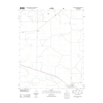
 2022 Texline North2022 Print · USGSThe high plains of the Texas-New Mexico border are captured here in the early 2020s, showing a landscape defined by federal grasslands and cattle country. Genealogists and researchers can trace the street grid of Texline or follow rural routes like Stirrup Rd and Clark Ln through the Kiowa National Grassland.
 - 2023 Map of Clayton, 2023 Print
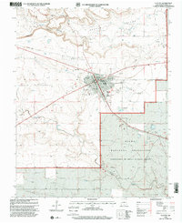
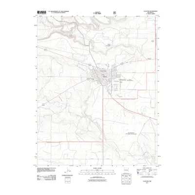
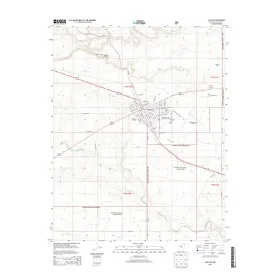
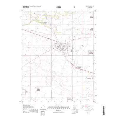
 2023 Clayton2023 Print · USGSThe high-plains hub of Clayton is captured in this recent survey, showcasing its established street grid and vital rail connections. Local researchers can trace the town’s civic footprint at the Union County Courthouse or locate family sites within the Clayton Cem and Kiowa National Grassland.
End of results
Showing maps 1-18 of 18
Top cities near Clayton
Frequently asked questions
- What are the different types of historical maps available for Clayton?
- What is the oldest map of Clayton?
- Where can I purchase historical maps of Clayton for my home or office?
- Where can I download high-res historical maps of Clayton?
- Are there historical topographic maps available for Clayton?
- Is there historical aerial imagery available for Clayton?
- Where are historical maps of Clayton sourced from?