Old Maps of Broadalbin, New York
Explore 40 old maps of Broadalbin, spanning from 1899 to today. These high-resolution historic maps reveal how streets, neighborhoods, landmarks, and natural features evolved over time — perfect for genealogy, metal detecting, research, and local history exploration.
What you can do with these maps:
- See how Broadalbin changed over time: Compare historical maps to modern-day views to trace roads, homesites, rail lines & more.
- View detailed metadata: Each map includes creators, publishers, year, scale, and archive source.
- Overlay maps with satellite & LiDAR: Visualize the past alongside modern tools to explore terrain & human change.
- Trusted historical sources: Maps sourced from the USGS, Library of Congress, and other archives.
- Access maps your way: View online, download high-res files, or order prints for personal or research use.
Start exploring old maps of Broadalbin to uncover forgotten places, hidden landmarks, and the deep history beneath your feet.
Broadalbin, NY maps
(40)- 1899 Map of Broadalbin, 1954 Print
 1899 Broadalbin1954 Print · USGSFulton and Saratoga counties are shown here just before the turn of the century as the local economy balanced rail transport and river-powered industry. Genealogists can trace family roots through numerous mill hamlets and settlements like Northampton, Vail Mills, and Osborn Bridge.
 - 1902 Map of Broadalbin
 1902 Broadalbin1902 Print · USGSThe Sacandaga River valley is shown here at the turn of the century, prior to the major hydroelectric projects that reshaped this Fulton County landscape. Genealogists can trace early homesteads and milling sites near Vail Mills, Hagedorns Mills, and the Sacandaga Park rail terminus.9 unique versions available
 - 1945 Map of Edinburg, 1962 Print
 1945 Edinburg1962 Print · USGSSaratoga County's southern Adirondack foothills were transitioning toward a reservoir-centered economy in the mid-1940s. Genealogists and hikers can trace old family burial sites like Partridge Cem or locate the small settlement of Glenwild and the Plateau Airport.
 - 1945 Map of Galway, 1962 Print
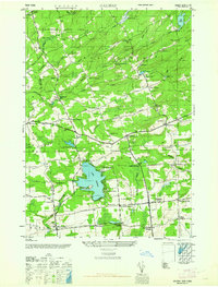 1945 Galway1962 Print · USGSSaratoga County's rural crossroads and milling hamlets are frozen in time just after the war. Local historians can trace family-named landmarks like Bunn Corners, locate the County Sanatorium, and explore settlements near Lake Galway.
 - 1945 Map of Northville, 1962 Print
 1945 Northville1962 Print · USGSThe foothills of the Adirondacks meet the expanding reservoir in the mid-1940s, showing the vital connections between mountain valleys and the river. Genealogists can locate family burial sites at King Cem and Gifford Valley Cem or trace the early layout of Northville and Fish House.
 - 1945 Map of Broadalbin, 1963 Print
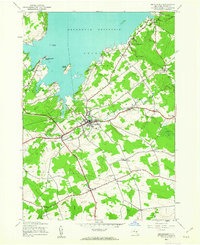 1945 Broadalbin1963 Print · USGSFulton County settlements and the southern reaches of the Adirondack Park are captured here just after the war. Family researchers can trace ancestors through namesake locations like Honeywell Corners, Yates Cem, and rural schoolhouses including Black Street Sch.
 - 1946 Map of Broadalbin
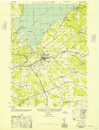 1946 Broadalbin1946 Print · USGSFulton County appears at the edge of the Adirondacks just after the war, showing the local impact of the Sacandaga Reservoir. Researchers can trace rural school districts like Black Street Sch and historic transport lines including the Fonda Johnstown and Gloversville.
 - 1946 Map of Edinburg
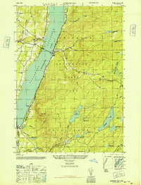 1946 Edinburg1946 Print · USGSSaratoga County in the mid-forties reveals a landscape transformed by the flooding of the Sacandaga Reservoir. Genealogists and local historians can trace family plots at Partridge Cem or explore the hills near Batchellerville and Glenwild.
 - 1946 Map of Northville
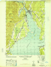 1946 Northville1946 Print · USGSThe southern Adirondacks at the conclusion of the second World War reveal a landscape shaped by the new reservoir and traditional rail lines. Researchers can trace the F J & G RR through Sacandaga Park and locate historic burial sites like Christie Cem and King Cem.
 - 1950 Map of Utica, 1951 Print
 1950 Utica1951 Print · USGSCentral New York in the post-war era showcases the industrial Mohawk Valley and the pristine Adirondack interior. Researchers can trace transportation networks like the New York Central Railroad and find early Cold War sites such as Griffiss Air Force Base.
 - 1957 Map of Utica
 1957 Utica1957 Print · USGSCentral New York and the Adirondack foothills are captured here in the mid-fifties, showing a landscape defined by the Mohawk River corridor and the growing highway system. Genealogists and researchers can trace the rail lines of the New York Central and locate communities from Lowville to Gloversville.
 - 1962 Map of Utica
 1962 Utica1962 Print · USGSCentral New York and the Adirondack wilderness are captured here during the mid-century era of highway and industrial expansion. Genealogists and historians can trace the development of the New York State Thruway and local rail lines connecting Utica, Rome, and Gloversville.3 unique versions available
 - 1964 Map of Utica
 1964 Utica1964 Print · USGSCentral New York and the high wilderness of the Adirondacks are captured here during the post-war era of infrastructure expansion. Researchers can trace the development of the New York State Thruway alongside historic corridors like the Oneida Lake (Barge Canal Route) and the N. Y. Central railroad.
 - 1967 Map of Utica
 1967 Utica1967 Print · USGSCentral New York's industrial Mohawk Valley meets the Adirondack wilderness in the 1960s, showing the region's transition from manufacturing hubs to state-managed parklands. Trace historic settlements and sites like Griffiss Air Force Base, Colgate University, and the Lyons Falls Paper Mill.
 - 1970 Map of Northville, 1972 Print
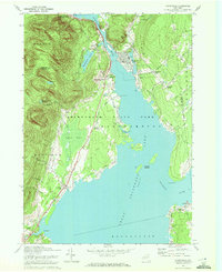 1970 Northville1972 Print · USGSFulton County’s lakeside communities are captured here in the early seventies, showcasing the developed shoreline of the Great Sacandaga Lake. Genealogists can locate family landmarks such as Gifford Valley Cem, Sweets Crossing, and the historic settlement of Fish House.2 unique versions available
 - 1970 Map of Edinburg, 1972 Print
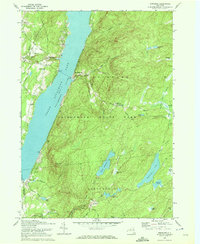 1970 Edinburg1972 Print · USGSSaratoga County life in the early seventies centers on the shores of Great Sacandaga Lake and the southern Adirondacks. Researchers can locate old family landmarks like Partridge Cem, Consolidated School No 1, and the Plateau Landing Field.2 unique versions available
 - 1970 Map of Broadalbin, 1972 Print
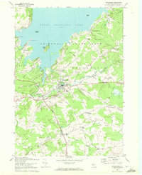 1970 Broadalbin1972 Print · USGSThe foothills of the Adirondacks meet the southern shores of the lake during the early seventies, showing a landscape of lakeside points and inland hamlets. Researchers can trace family sites at Perth Cem, the route of the Fonda Johnstown and Gloversville rail, and local industry at Stever Mill.
 - 1970 Map of Galway, 1972 Print
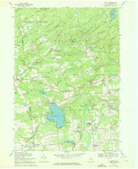 1970 Galway1972 Print · USGSSaratoga County's southern Adirondack foothills were a landscape of established hamlets and family crossroads during the early seventies. Trace local lineages and old property lines through namesake locations like Whiteside Corners, Hooseville, and the Zion Hill Cemetery.
 - 1985 Map of Gloversville, 1986 Print
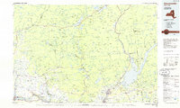 1985 Gloversville1986 Print · USGSThe southern Adirondacks meet the Mohawk Valley industrial corridor during the mid-eighties, showcasing a landscape of high-country lakes and riverside manufacturing towns. Trace the historical alignment of the Erie Canal and Conrail lines or locate landmarks like the Herkimer Home State Historic Site.2 unique versions available
 - 1997 Map of Edinburg, 2000 Print
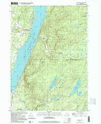 1997 Edinburg2000 Print · USGSThe Sacandaga Valley in the late nineties shows a landscape reshaped by the great reservoir and mountain terrain. Genealogists can trace family landmarks like the Edinburg Cem, Consolidated School No 1, and the settlement at Batchellerville.
 - 2010 Map of Broadalbin, 2010 Print
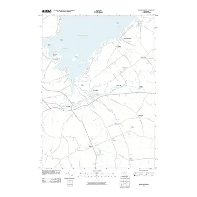 2010 Broadalbin2010 Print · USGSFulton County settlements and the southern reaches of the Sacandaga waterway are captured here in the early twenty-first century. Researchers can trace family roots through numerous burial grounds like Union Mills Cemetery and locate old landmarks such as Stever Mill and Vail Mills.
 - 2010 Map of Galway, 2010 Print
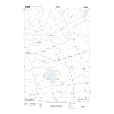 2010 Galway2010 Print · USGSSaratoga and Fulton Counties appear here in the early 21st century, showing a landscape of traditional crossroads hamlets and recreation lakes. Researchers can trace local heritage through numerous burial sites like Zion Hill Cemetery or old mill sites at Hagedorns Mills and Parkis Mills.
 - 2010 Map of Northville, 2010 Print
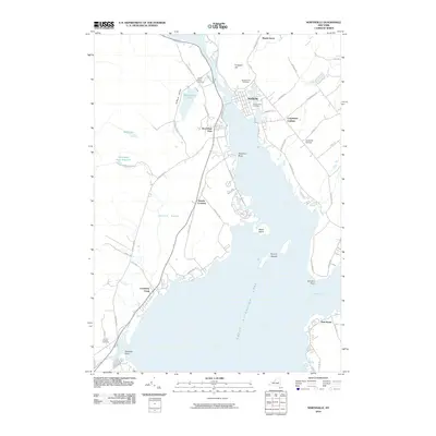 2010 Northville2010 Print · USGSThe northern shores of the Great Sacandaga Lake are captured here at the start of the 2010s. Local researchers can trace family roots through several sites like Main Street Cemetery or locate old community hubs at Sacandaga Park and Fish House.
 - 2010 Map of Edinburg, 2010 Print
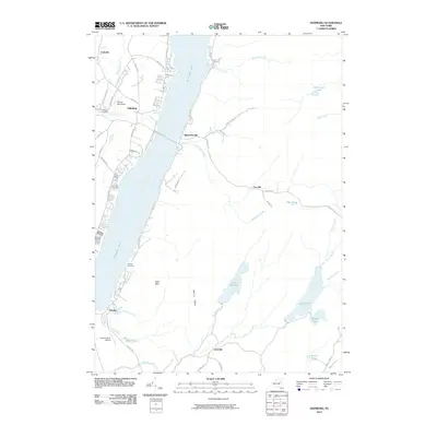 2010 Edinburg2010 Print · USGSThe Adirondack foothills and the waters of the Great Sacandaga Lake are captured here in the early twenty-first century. Genealogists can locate family landmarks like Edinburg Cemetery, Brooks Cemetery, and the rural crossroads of Batchellerville and Glenwild.
 - 2013 Map of Galway, 2013 Print
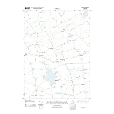 2013 Galway2013 Print · USGSThe rural crossroads and lakefront communities of Fulton County come into focus in the early 2010s. Genealogists and local historians can trace family-named landmarks and old burial grounds from Hagedorns Mills to Saint Marys Cem.
Showing maps 1-25 of 40
Top cities near Broadalbin
- Rotterdam historical maps
- Glenville historical maps
- West Glenville historical maps
- Milton historical maps
- Amsterdam historical maps
- Gloversville historical maps
See more
Top neighborhoods of Broadalbin
- Mills Corners historical maps
- Steele Corners historical maps
- Stever Mill historical maps
- Union Mills historical maps
- Gorthey Corners historical maps
- Honeywell Corners historical maps
See more
Frequently asked questions
- What are the different types of historical maps available for Broadalbin?
- What is the oldest map of Broadalbin?
- Where can I purchase historical maps of Broadalbin for my home or office?
- Where can I download high-res historical maps of Broadalbin?
- Are there historical topographic maps available for Broadalbin?
- Is there historical aerial imagery available for Broadalbin?
- Where are historical maps of Broadalbin sourced from?