Old Maps of New Baltimore, New York
Explore 22 old maps of New Baltimore, spanning from 1893 to today. These high-resolution historic maps reveal how streets, neighborhoods, landmarks, and natural features evolved over time — perfect for genealogy, metal detecting, research, and local history exploration.
What you can do with these maps:
- See how New Baltimore changed over time: Compare historical maps to modern-day views to trace roads, homesites, rail lines & more.
- View detailed metadata: Each map includes creators, publishers, year, scale, and archive source.
- Overlay maps with satellite & LiDAR: Visualize the past alongside modern tools to explore terrain & human change.
- Trusted historical sources: Maps sourced from the USGS, Library of Congress, and other archives.
- Access maps your way: View online, download high-res files, or order prints for personal or research use.
Start exploring old maps of New Baltimore to uncover forgotten places, hidden landmarks, and the deep history beneath your feet.
New Baltimore, NY maps
(22)- 1893 Map of Coxsackie
 1893 Coxsackie1893 Print · USGSThe Hudson River valley at the close of the 19th century shows a landscape defined by waterborne trade and expanding rail networks. Genealogists and local historians can trace family-named landmarks like Stanton Hill, ferry landings at Nuttenhook, and rail hubs like Coeyman Junction.
 - 1894 Map of Coxsackie
 1894 Coxsackie1894 Print · USGSThe Hudson River valley at the close of the 19th century was a hub of rail and river transit between Greene and Columbia counties. Genealogists can trace family names at Stanton Hill and Stephensville or locate long-lost stops like New Baltimore Sta. and Coxsackie Station.8 unique versions available
 - 1929 Map of Coxsackie
 1929 Coxsackie1929 Print · USGSThe Hudson River valley in the late twenties was a bustling corridor of rail lines and river landings between Albany and Catskill. Genealogists and historians can trace family locations through dozens of numbered schoolhouses, the industrial works at Stottville, and the transit hubs of Schodack Landing and West Coxsackie.4 unique versions available
 - 1948 Map of Albany, 1951 Print
 1948 Albany1951 Print · USGSThe Hudson and Connecticut River valleys are captured here in the late 1940s, showing the vital rail and water corridors of the Northeast. You can trace the Boston and Maine tracks past Mt Greylock or locate early settlements like Great Barrington and Bennington.
 - 1953 Map of Ravena, 1955 Print
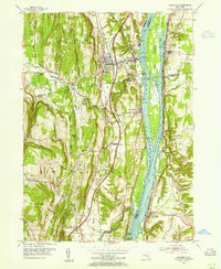 1953 Ravena1955 Print · USGSThe Hudson River valley at the dawn of the interstate era shows a landscape where historic riverfront villages meet modern infrastructure. Trace the early New York State Thruway past sites like Schodack Landing, Deans Mill, and Waldron Cem.3 unique versions available
 - 1953 Map of Alcove, 1955 Print
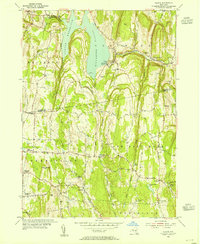 1953 Alcove1955 Print · USGSThe rural borders of Albany and Greene counties are captured here in the mid-fifties, centered on the Alcove Reservoir and its surrounding hamlets. Researchers can trace family roots through numerous sites like Indian Fields Cem, Staco Cem, and the local schools of Coeymans Hollow.3 unique versions available
 - 1956 Map of Albany, 1968 Print
 1956 Albany1968 Print · USGSThe industrial heart of the Northeast is revealed in the mid-1950s, from the Hudson Valley to the Connecticut River. Researchers can trace the legacy of the Quabbin Reservoir, locate Westover Air Force Base, or follow the Rutland RR through the Green Mountains.2 unique versions available
 - 1957 Map of Albany
 1957 Albany1957 Print · USGSThe Tri-State region and Connecticut River Valley are captured here during a period of significant postwar growth and infrastructure expansion. Genealogists and historians can trace the rail-and-river economy through landmarks like the Boston and Maine railroad, Quabbin Reservoir, and Westover Air Force Base.
 - 1959 Map of Albany
 1959 Albany1959 Print · USGSThe Hudson and Connecticut River valleys are captured here during the late fifties, showing the region's dense rail networks and massive water projects. Researchers can trace the New York State Thruway or locate local landmarks like Mt Greylock and the Quabbin Reservoir.
 - 1962 Map of Albany
 1962 Albany1962 Print · USGSThe Hudson and Connecticut River valleys meet the Green Mountains and Berkshires in this mid-century overview of the Northeast. Genealogists and historians can trace the industrial hearts of Albany and Springfield or locate features like Quabbin Reservoir and Westover Air Force Base.
 - 1978 Map of Wilmington, 1979 Print
 1978 Wilmington1979 Print · USGSThe High Peaks region during the late seventies shows a landscape defined by mountain ranges and river valleys. Researchers can trace historical sites like West Kilns, the Whiteface Memorial Highway, and the Goodspeed Cem.
 - 1986 Map of Pittsfield
 1986 Pittsfield1986 Print · USGSThe Berkshires and the Hudson Valley meet in the mid-1980s, documenting a cross-border landscape of mountain forests and river towns. Genealogists and historians can trace the paths of Conrail and the Taconic State Parkway as they pass through Stockbridge, Great Barrington, and Kinderhook.2 unique versions available
 - 2010 Map of Ravena, 2010 Print
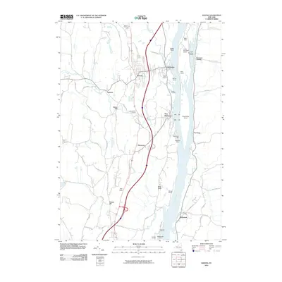 2010 Ravena2010 Print · USGSThe Hudson River valley at the turn of the decade shows a landscape of historic riverfront landings and upland cemeteries. Genealogists can trace family names at Stanton Hill or Firwood, while exploring the reach from Schodack Landing down to the Coxsackie Lighthouse.
 - 2010 Map of Alcove, 2010 Print
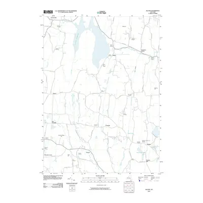 2010 Alcove2010 Print · USGSThe borderlands of Greene and Albany County are defined by rural hamlets and the expanse of the Alcove Reservoir in the early twenty-first century. Genealogists can trace family lineages through numerous local sites like Indian Fields Cemetery, Surprise, and Coeymans Hollow.
 - 2013 Map of Alcove, 2013 Print
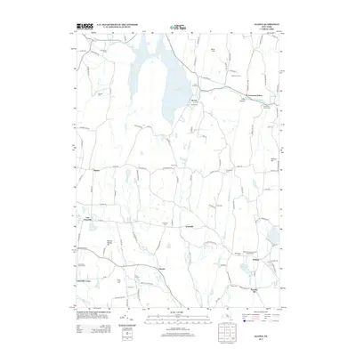 2013 Alcove2013 Print · USGSUpper Greene County and its neighboring Albany County borderlands are shown here in the early twenty-first century, centered on the Alcove Reservoir watershed. Researchers can locate numerous rural burial grounds and hamlets, from Indian Fields Cem to the namesake village of Coeymans Hollow.
 - 2013 Map of Ravena, 2013 Print
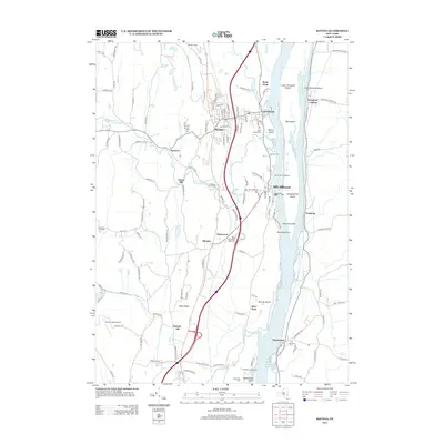 2013 Ravena2013 Print · USGSThe Hudson River valley near Ravena and Coeymans is captured here in the early twenty-first century as it flows past a network of historic river islands. Researchers can trace local lineages through Saint Patrick Cem and Waldron Cem or locate the Coxsackie Lighthouse.
 - 2016 Map of Alcove, 2016 Print
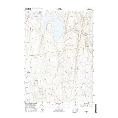 2016 Alcove2016 Print · USGSSpanning the border of Albany and Greene counties in the mid-2010s, this area preserves a network of traditional rural settlements. Genealogists can trace family names through numerous burial grounds such as Staco Cem, Travis Cem, and Powell Cem.
 - 2016 Map of Ravena, 2016 Print
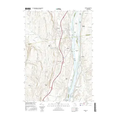 2016 Ravena2016 Print · USGSSpanning the four-county junction along the Hudson River, this mid-2010s survey captures the riverfront communities and island chains of the upper valley. Researchers can trace historic cemeteries like Lish Homestead Cem and Requea Cem or locate old industrial sites near Deans Mill.
 - 2019 Map of Alcove, 2019 Print
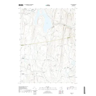 2019 Alcove2019 Print · USGSUpper Hudson Valley rural life continues its long patterns of settlement across the Albany and Greene County line. Genealogists can trace family footprints through numerous sites like Hannacroix Rural Cem, Grapeville, and the Medway Congregational Christian Cem.
 - 2019 Map of Ravena, 2019 Print
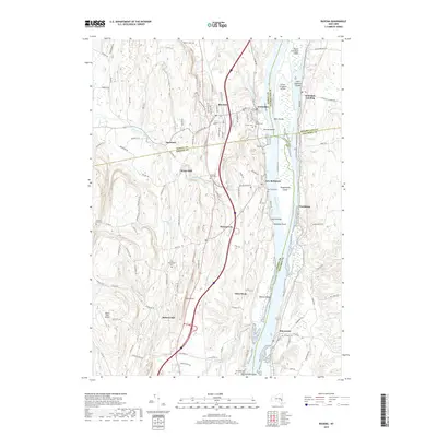 2019 Ravena2019 Print · USGSThe Hudson River corridor comes into focus here in the late 2010s, where the riverfront settlements of New York's Albany and Greene counties meet. Local historians can trace old family burial sites like Stanton Hill Cem and industrial footprints at Deans Mill.
 - 2023 Map of Alcove, 2023 Print
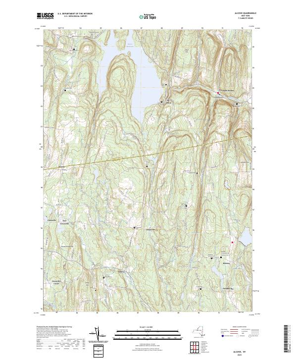 2023 Alcove2023 Print · USGSThe rural borderlands of Albany and Greene Counties come to life in this survey of the northern Catskills foothills. Researchers can trace ancestral sites at Hannacrois Rural Cem or explore the geography around Alcove Reservoir and Dickinson Falls.
 - 2023 Map of Ravena, 2023 Print
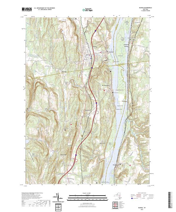 2023 Ravena2023 Print · USGSThe Hudson River valley at the start of the 2020s reveals a landscape shaped by river commerce and rural tradition. Genealogy researchers can locate several small family burial sites like Lish Homestead Cem and Van Zandt Cem near the river hamlets of Schodack Landing and Stuyvesant.
End of results
Showing maps 1-22 of 22
Top cities near New Baltimore
- Albany historical maps
- Bethlehem historical maps
- East Greenbush historical maps
- North Greenbush historical maps
- Schodack historical maps
- Catskill historical maps
See more
Top neighborhoods of New Baltimore
- Deans Mill historical maps
- Roberts Hill historical maps
- Grapeville historical maps
- Medway historical maps
- Paradise Hill historical maps
- Otter Hook historical maps
See more
Frequently asked questions
- What are the different types of historical maps available for New Baltimore?
- What is the oldest map of New Baltimore?
- Where can I purchase historical maps of New Baltimore for my home or office?
- Where can I download high-res historical maps of New Baltimore?
- Are there historical topographic maps available for New Baltimore?
- Is there historical aerial imagery available for New Baltimore?
- Where are historical maps of New Baltimore sourced from?