Old Maps of Worth Center, Worth
Explore 15 old maps of Worth Center, spanning from 1903 to today. These high-resolution historic maps reveal how streets, neighborhoods, landmarks, and natural features evolved over time — perfect for genealogy, metal detecting, research, and local history exploration.
What you can do with these maps:
- See how Worth Center changed over time: Compare historical maps to modern-day views to trace roads, homesites, rail lines & more.
- View detailed metadata: Each map includes creators, publishers, year, scale, and archive source.
- Overlay maps with satellite & LiDAR: Visualize the past alongside modern tools to explore terrain & human change.
- Trusted historical sources: Maps sourced from the USGS, Library of Congress, and other archives.
- Access maps your way: View online, download high-res files, or order prints for personal or research use.
Start exploring old maps of Worth Center to uncover forgotten places, hidden landmarks, and the deep history beneath your feet.
Worth Center, Worth maps
(15)- 1903 Map of Orwell, 1955 Print
 1903 Orwell1955 Print · USGSOswego and Jefferson counties are documented here at the opening of the twentieth century, showing a landscape defined by the Tug Hill drainages. Genealogists and historians can trace the early footprints of Littlejohn Settlement, Otto Mills, and the falls at Stillwater.
 - 1905 Map of Orwell
 1905 Orwell1905 Print · USGSUpper Oswego and Jefferson counties are shown here in the early nineteen-hundreds as a landscape of remote settlements and river-powered valleys. Genealogists and historians can trace the exact locations of Little John Settlement, the Salmon Falls cataracts, and Bennett Bridge.6 unique versions available
 - 1943 Map of Worth Center
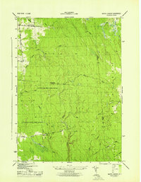 1943 Worth Center1943 Print · USGSThe Tug Hill plateau at the height of the Second World War reveals a landscape of isolated homesteads and expanding conservation lands. Genealogists and hikers can trace the old roads near Worth Center, School No 4, and the Lookout Tower.
 - 1950 Map of Utica, 1951 Print
 1950 Utica1951 Print · USGSCentral New York in the post-war era showcases the industrial Mohawk Valley and the pristine Adirondack interior. Researchers can trace transportation networks like the New York Central Railroad and find early Cold War sites such as Griffiss Air Force Base.
 - 1957 Map of Utica
 1957 Utica1957 Print · USGSCentral New York and the Adirondack foothills are captured here in the mid-fifties, showing a landscape defined by the Mohawk River corridor and the growing highway system. Genealogists and researchers can trace the rail lines of the New York Central and locate communities from Lowville to Gloversville.
 - 1960 Map of Worth Center, 1962 Print
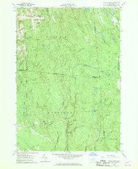 1960 Worth Center1962 Print · USGSThe Tug Hill region in the early sixties is shown as a densely forested landscape of state-managed lands and branching river systems. Researchers can trace the rural layout of Worth Center, the remote Littlejohn settlement, and the network of waters feeding the Mad River.4 unique versions available
 - 1962 Map of Utica
 1962 Utica1962 Print · USGSCentral New York and the Adirondack wilderness are captured here during the mid-century era of highway and industrial expansion. Genealogists and historians can trace the development of the New York State Thruway and local rail lines connecting Utica, Rome, and Gloversville.3 unique versions available
 - 1964 Map of Utica
 1964 Utica1964 Print · USGSCentral New York and the high wilderness of the Adirondacks are captured here during the post-war era of infrastructure expansion. Researchers can trace the development of the New York State Thruway alongside historic corridors like the Oneida Lake (Barge Canal Route) and the N. Y. Central railroad.
 - 1967 Map of Utica
 1967 Utica1967 Print · USGSCentral New York's industrial Mohawk Valley meets the Adirondack wilderness in the 1960s, showing the region's transition from manufacturing hubs to state-managed parklands. Trace historic settlements and sites like Griffiss Air Force Base, Colgate University, and the Lyons Falls Paper Mill.
 - 1985 Map of Watertown, 1986 Print
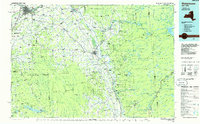 1985 Watertown1986 Print · USGSThe Black River Valley and the western Adirondacks are captured here in the mid-1980s, from the urban streets of Watertown to the remote Stillwater Reservoir. Researchers can trace the Conrail lines through Carthage or locate family landmarks in Lowville, Boonville, and Old Forge.2 unique versions available
 - 2010 Map of Worth Center, 2010 Print
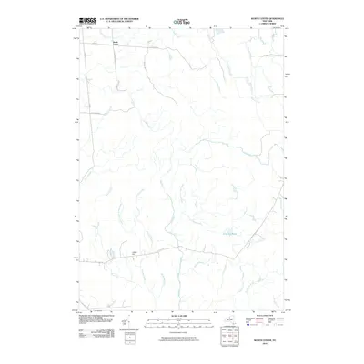 2010 Worth Center2010 Print · USGSThe northern New York woods around Redfield and Oswego County appear here as they stood in 2010. Local historians and hunters can trace the many watercourses of the Mad River and Big Brook or locate high ground at Castor Hill near Alder Bed Pond.
 - 2013 Map of Worth Center, 2013 Print
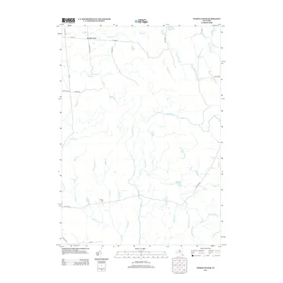 2013 Worth Center2013 Print · USGSThe Tug Hill region near Redfield comes into focus in this modern survey, revealing a landscape of dense water networks and high elevations. Local historians can trace the paths of Worth Center and Castor Hill, or follow the course of the Mad River and Alder Bed Pond.
 - 2016 Map of Worth Center, 2016 Print
 2016 Worth Center2016 Print · USGSThe Tug Hill plateau's interior is documented here in the mid-2010s, showing a landscape dominated by state forests and high-altitude wetlands. Researchers can trace the remote reaches of the Little John Mgt Area Sthy and the headwaters of the Mad River and Salmon River Rd.
 - 2019 Map of Worth Center, 2019 Print
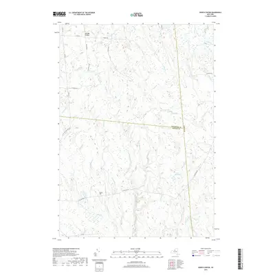 2019 Worth Center2019 Print · USGSThe Tug Hill plateau comes into focus in this late 2010s survey of the borderlands between Jefferson and Oswego counties. Researchers can trace the remote hydrology of the Mad River and Alder Bed Pond, or locate the rural crossroads of Worth Center.
 - 2023 Map of Worth Center, 2023 Print
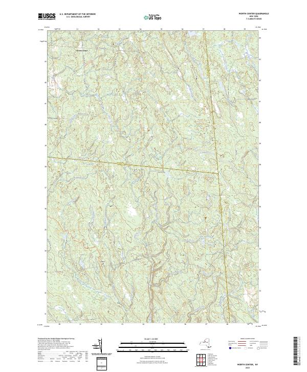 2023 Worth Center2023 Print · USGSThe headwaters of the Tug Hill region come into focus in the 2020s, showing a landscape of dense water networks and forest management. Researchers can trace the sprawling Little John Mgt Area Sthy and the remote roads near Worth Center.
End of results
Showing maps 1-15 of 15
Top cities near Worth Center
- Watertown historical maps
- Watertown historical maps
- Brownville historical maps
- Wilna historical maps
- Richland historical maps
- Adams historical maps
See more
Frequently asked questions
- What are the different types of historical maps available for Worth Center?
- What is the oldest map of Worth Center?
- Where can I purchase historical maps of Worth Center for my home or office?
- Where can I download high-res historical maps of Worth Center?
- Are there historical topographic maps available for Worth Center?
- Is there historical aerial imagery available for Worth Center?
- Where are historical maps of Worth Center sourced from?