Old Maps of Oakwood, New York
Explore 22 old maps of Oakwood, spanning from 1898 to today. These high-resolution historic maps reveal how streets, neighborhoods, landmarks, and natural features evolved over time — perfect for genealogy, metal detecting, research, and local history exploration.
What you can do with these maps:
- See how Oakwood changed over time: Compare historical maps to modern-day views to trace roads, homesites, rail lines & more.
- View detailed metadata: Each map includes creators, publishers, year, scale, and archive source.
- Overlay maps with satellite & LiDAR: Visualize the past alongside modern tools to explore terrain & human change.
- Trusted historical sources: Maps sourced from the USGS, Library of Congress, and other archives.
- Access maps your way: View online, download high-res files, or order prints for personal or research use.
Start exploring old maps of Oakwood to uncover forgotten places, hidden landmarks, and the deep history beneath your feet.
Oakwood, New York maps
(22)- 1898 Map of Staten Island
 1898 Staten Island1898 Print · USGSGreater Staten Island and the industrial shores of New Jersey are captured during the peak of the Victorian maritime era. Genealogists can trace early neighborhood boundaries and landmarks like Moravian Cemetery, the Morris Canal, and the vanished industry of Linoleumville.
 - 1900 Map of Passaic
 1900 Passaic1900 Print · USGSNorthern New Jersey and the New York Harbor are captured here at the close of the nineteenth century, showing a landscape defined by rail, river, and coastal defense. Researchers can trace the original path of the Morris Canal, locate Seton Hall College, and explore the batteries at Fort Wadsworth.
 - 1900 Map of Staten Island
 1900 Staten Island1900 Print · USGSThe New York and New Jersey harbor comes alive in the late Victorian era, showing Staten Island when small villages and defensive forts still defined the coastline. Trace family roots and vanished landmarks through Fort Wadsworth, the Morris Canal, and historic settlements like Rossville or Tottenville.10 unique versions available
 - 1905 Map of Passaic
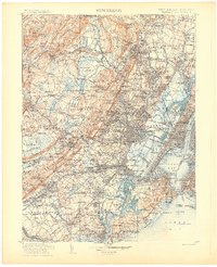 1905 Passaic1905 Print · USGSNorthern New Jersey and Staten Island appear here at a pivotal moment of early 20th-century growth and industrialization. Researchers can trace the development of transit hubs like Convent Sta. or locate legacy landmarks including Hillside Cemetery and the Moravian Cemetery.4 unique versions available
 - 1942 Map of Passaic
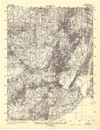 1942 Passaic1942 Print · USGSNorthern New Jersey and New York harbor appear in detail at the start of the war, showing a landscape of burgeoning suburbs and vital industry. Trace family roots and local history across the Passaic River valley, from Paterson to the Watchung Mountains.
 - 1944 Map of Newark, 1971 Print
 1944 Newark1971 Print · USGSThe industrial corridor from Philadelphia to New York was in a period of massive transition during the mid-forties. Genealogists and researchers can trace the rail lines of the Lehigh Valley RR, locate military installations like Picatinny Arsenal, and explore the early sprawl near Levittown.5 unique versions available
 - 1947 Map of The Narrows
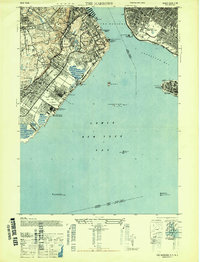 1947 The Narrows1947 Print · USGSThe eastern shore of Staten Island and the Brooklyn waterfront appear here in the years immediately following the war. Researchers can trace the Staten Island Rapid Transit line through neighborhoods like Grasmere and New Dorp, or locate family sites near Silver Lake Cem and Wagner College.2 unique versions available
 - 1949 Map of Newark
 1949 Newark1949 Print · USGSThe industrial corridor between Philadelphia and New York comes alive in this post-war survey. Genealogists and historians can trace the massive rail networks of the Reading Railroad and locate major installations like Fort Dix or Picatinny Arsenal.2 unique versions available
 - 1955 Map of The Narrows, 1957 Print
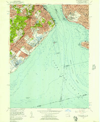 1955 The Narrows1957 Print · USGSStaten Island and Brooklyn face each other across the water in the mid-1950s, a period of significant suburban growth and established maritime defense. Researchers can trace the Staten Island Rapid Transit line or locate local landmarks like Wagner Memorial College and the Old Austen House.2 unique versions available
 - 1956 Map of Newark
 1956 Newark1956 Print · USGSThe industrial heart of the Mid-Atlantic is captured here at the dawn of the highway era, tracing the dense corridors between Newark and Philadelphia. Genealogists and local historians can map the rail networks of the Reading RR or locate mid-century military life at Fort Dix Military Reservation.2 unique versions available
 - 1957 Map of Newark
 1957 Newark1957 Print · USGSThe industrial and military heart of the Mid-Atlantic is mapped during its post-war suburban boom. Genealogists and historians can trace the intricate rail corridors of the Reading Railroad and locate key landmarks from Princeton University to Fort Hancock.
 - 1960 Map of Newark
 1960 Newark1960 Print · USGSThe industrial heart of the Mid-Atlantic is shown at mid-century, stretching from the dense urban centers of Newark and Philadelphia to the Blue Mountain ridges. Researchers can trace historic rail lines, coastal defenses at Fort Hancock, and the riverfront growth of Trenton and Easton.3 unique versions available
 - 1964 Map of Newark
 1964 Newark1964 Print · USGSGreater New Jersey and eastern Pennsylvania appear at the peak of their industrial and rail-centered development in the mid-sixties. Genealogists and historians can trace the paths of the Pennsylvania RR, identify mid-century landmarks like CAMP KILMER, or follow the Schuylkill River through READING.2 unique versions available
 - 1966 Map of The Narrows, 1968 Print
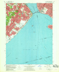 1966 The Narrows1968 Print · USGSThe mid-sixties saw Staten Island and Brooklyn transformed by the new bridge spanning The Narrows. Genealogists and historians can trace neighborhood growth through local landmarks like Moravian Cemetery, the Staten Island Transit line, and Fort Wadsworth.4 unique versions available
 - 1984 Map of Newark, 1985 Print
 1984 Newark1985 Print · USGSNorthern New Jersey's massive industrial and transit network is on full display in the mid-eighties, showing the region just before modern redevelopment. Genealogists and historians can trace the dense urban grids of Newark, find historic landmarks like Ellis Island, and locate the sprawling Picatinny Arsenal in the western hills.
 - 1986 Map of Newark, 1987 Print
 1986 Newark1987 Print · USGSNorthern New Jersey during the mid-eighties shows an incredible transition from the industrial harbor to the wooded Highlands. Researchers can trace the massive footprints of Picatinny Arsenal and Newark International Airport or explore protected lands like the Great Swamp National Wildlife Refuge.
 - 1998 Map of The Narrows, 2001 Print
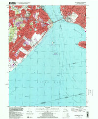 1998 The Narrows2001 Print · USGSStaten Island and Brooklyn meet at the harbor entrance during the late nineties, featuring a fully developed network of residential neighborhoods and coastal parks. Genealogists and local historians can locate Moravian Cemetery, St Marys Cem, and the historic transit line through New Dorp.
 - 2011 Map of The Narrows, 2011 Print
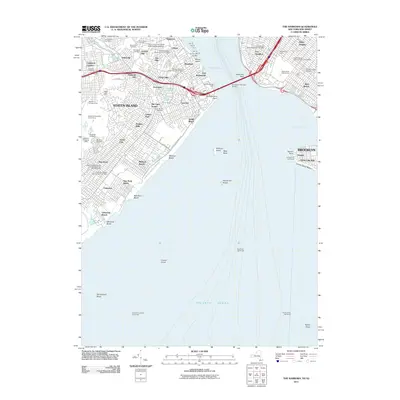 2011 The Narrows2011 Print · USGSCoastal defenses and harbor life define this 2011 survey of the gateway between Brooklyn and Staten Island. Researchers can trace historic cemeteries such as Moravian Cemetery and Old New Utrecht Cemetery or locate the various shipping piers from Pier 19 to Pier 25.
 - 2013 Map of The Narrows, 2013 Print
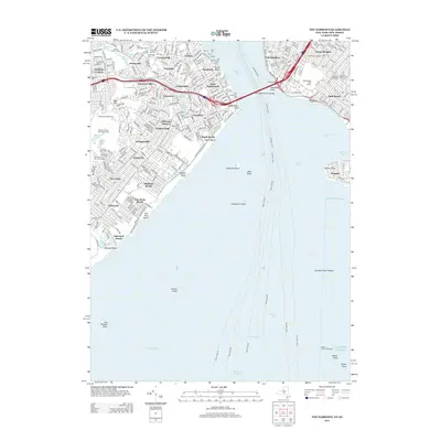 2013 The Narrows2013 Print · USGSThe Narrows and the harbor mouth are captured here in the early twenty-first century, showing the established neighborhoods of Staten Island and Brooklyn. Researchers can locate numerous historic burial sites like Old Utrecht Cem, the military grounds of Fort Wadsworth, and the transit corridor of Old Town Station.
 - 2016 Map of The Narrows, 2016 Print
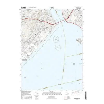 2016 The Narrows2016 Print · USGSThe maritime gateway of New York Harbor is captured here in the mid-2010s, detailing the urban landscape from Staten Island to Brooklyn. Researchers can trace historic burial grounds like Moravian Cem, identify transit points at Old Town Station, and explore the shoreline from South Beach to Seagate.
 - 2019 Map of The Narrows, 2019 Print
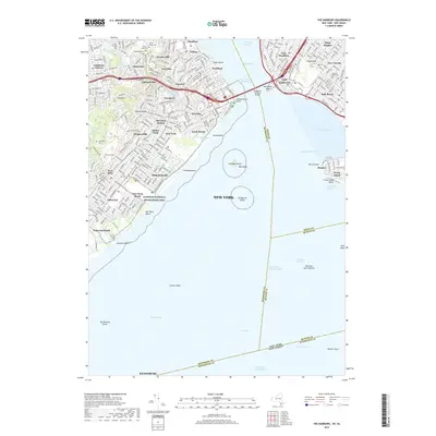 2019 The Narrows2019 Print · USGSStaten Island and the Brooklyn shore meet at the harbor entrance in this 2019 survey of the city's coastal edge. Genealogists and historians can trace the grounds of Fort Hamilton, the Old New Utrecht Cem, and the historic transit link at Old Town Station.
 - 2023 Map of The Narrows, 2023 Print
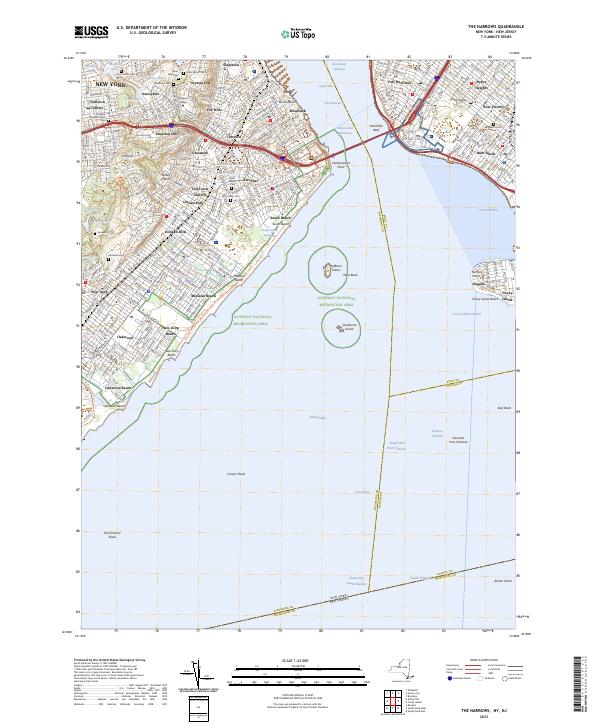 2023 The Narrows2023 Print · USGSStaten Island and the Brooklyn shore are seen here in the 2020s, centered on the vital maritime gateway of The Narrows. Researchers can trace the borders of historic burial grounds like Moravian Cem or locate the coastal defenses at Fort Hamilton.
End of results
Showing maps 1-22 of 22
Frequently asked questions
- What are the different types of historical maps available for Oakwood?
- What is the oldest map of Oakwood?
- Where can I purchase historical maps of Oakwood for my home or office?
- Where can I download high-res historical maps of Oakwood?
- Are there historical topographic maps available for Oakwood?
- Is there historical aerial imagery available for Oakwood?
- Where are historical maps of Oakwood sourced from?