Old Maps of Seneca, New York for Academic Research
Study the evolution of Seneca with 33 high-resolution historic maps. Whether you're teaching, researching, or modeling changes in land use, these maps provide essential visual documentation of urban, environmental, and geographic change.
- Analyze long-term change: Track patterns in development, transportation, and natural features.
- Ideal for environmental or urban studies: Support academic projects with primary historical map data.
- Use in the classroom or lab: Educators and researchers rely on these maps to bring historical context to life.
These maps are a powerful tool for teaching, research, and visualizing how Seneca has changed over the decades.
Seneca, NY maps
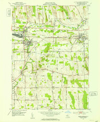
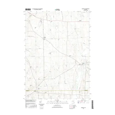
(33)- 1902 Map of Phelps
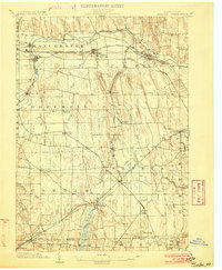 1902 Phelps1902 Print · USGSOntario and Yates counties are shown here at a peak of rail-driven prosperity in the early twentieth century. Researchers can trace family roots through numerous hamlets and junctions like Clifton Springs, Oaks Corners, and Halls Corners, or follow the path of the Lehigh Valley R.R.7 unique versions available
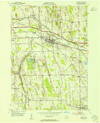
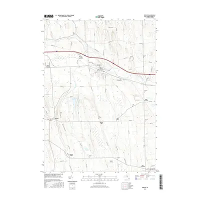
 - 1942 Map of Rushville
 1942 Rushville1942 Print · USGSThe rural landscape of Ontario and Yates counties is meticulously detailed here in the early 1940s. Genealogists can locate family landmarks at Wilson Corners, trace ancestral burials at Washburn Cem, and follow the path of the Lehigh Valley Railroad.
 - 1942 Map of Stanley
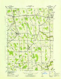 1942 Stanley1942 Print · USGSOntario and Yates counties intersect here during the early war years, revealing a landscape of rail-driven hamlets and productive farmland. Genealogists can trace family roots through the many rural school districts and old burial grounds like Sand Hill Cem or the Old Number Nine Church.
 - 1943 Map of Phelps
 1943 Phelps1943 Print · USGSOntario County thrived as a rail and agricultural hub during the mid-forties, captured here at a scale of 1:31,680. Researchers can trace the heritage of local hamlets like Seneca Castle, locate rural landmarks such as School No 7, or follow the path of the Lehigh Valley Railroad.
 - 1950 Map of Elmira
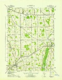
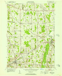
 1950 Elmira1950 Print · USGSThe Finger Lakes region thrived in the late 1940s as a hub of industry and transport. Trace family roots and vanished landmarks near Seneca Lake or explore the rail lines of the Erie RR and the sprawling Seneca Ordnance Depot.2 unique versions available
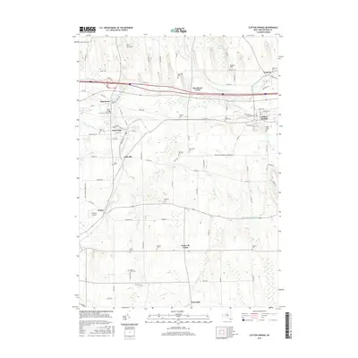
 - 1951 Map of Clifton Springs, 1953 Print
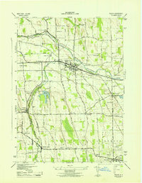
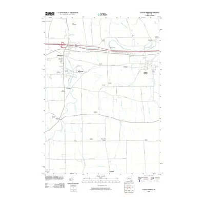
 1951 Clifton Springs1953 Print · USGSOntario County is captured in the early fifties as a bustling corridor of rail and industry along the Canandaigua Outlet. Trace the footprints of early residents at Riverview Cemetery, identify local schools like School No 1, or locate the historic County Home.3 unique versions available
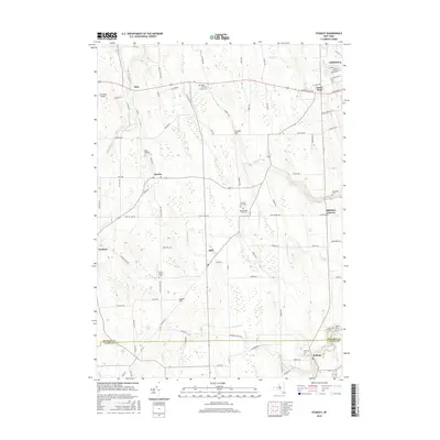
 - 1952 Map of Rushville, 1953 Print
 1952 Rushville1953 Print · USGSThe rural Finger Lakes borderlands of Ontario and Yates counties are captured here in the early fifties, showing a landscape defined by farming and rail. Genealogists can trace family footprints through numerous cemeteries and crossroads like Reed Corners, Babbitt Corner, and Gorham.3 unique versions available
 - 1952 Map of Stanley, 1953 Print
 1952 Stanley1953 Print · USGSThe rail junctions of Ontario County were in full operation in the early fifties, centering on the major crossing at Stanley. Genealogists and researchers can trace the rural school districts and family landmarks like Old No 9 Ch, Bellona, and the State Agricultural Experiment Station.2 unique versions available
 - 1953 Map of Phelps, 1954 Print
 1953 Phelps1954 Print · USGSOntario County’s agricultural and transit corridors are captured here in the early fifties, just as the modern thruway was reshaping the countryside. Genealogists and historians can locate numerous family burial grounds like Westfall Cem and Joslyn Cem or trace the early footprint of the State Agricultural Experiment Station.2 unique versions available
 - 1958 Map of Elmira
 1958 Elmira1958 Print · USGSThe New York Finger Lakes during the late fifties reveal a complex landscape of glacial geology and industrial growth. Researchers can trace historic transport corridors like the Erie Canal and Erie RR, or locate institutional landmarks like Cornell University.2 unique versions available
 - 1962 Map of Elmira, 1969 Print
 1962 Elmira1969 Print · USGSThe Finger Lakes region and Southern Tier are captured here during a period of industrial maturity and highway expansion. Researchers can trace the path of the Erie Canal, the footprint of the Seneca Army Depot, and legacy rail lines through Elmira and Ithaca.4 unique versions available
 - 1965 Map of Elmira
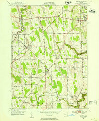
 1965 Elmira1965 Print · USGSThe Finger Lakes and Southern Tier regions are captured in the mid-sixties, showcasing a landscape of deep glacial valleys and heavy rail infrastructure. Trace old railroad corridors like the Pennsylvania RR or visit landmarks like Letchworth State Park and the Seneca Army Depot.
 - 1983 Map of Canandaigua, 1985 Print
 1983 Canandaigua1985 Print · USGSThe Finger Lakes and Genesee Valley appear in high detail in the early 1980s as the region's transport and academic centers reached a peak. Researchers can trace rail lines like the Lehigh Valley RR and find landmarks such as the Mount Morris Dam and Gannagaro State Historical Site.2 unique versions available
 - 2010 Map of Phelps, 2010 Print
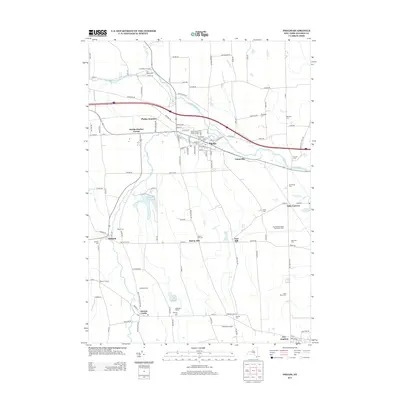
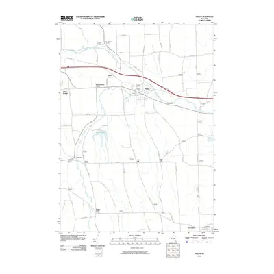 2010 Phelps2010 Print · USGSCovers Seneca, including Geneva, Phelps, and other nearby areas
 - 2010 Map of Clifton Springs, 2010 Print
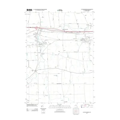
 2010 Clifton Springs2010 Print · USGSCovers Seneca, including Farmington, Canandaigua, and other nearby areas
 - 2010 Map of Rushville, 2010 Print
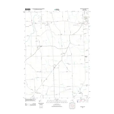
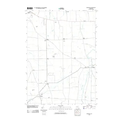 2010 Rushville2010 Print · USGSCovers Seneca, including Canandaigua, Canandaigua, and other nearby areas
 - 2010 Map of Stanley, 2010 Print
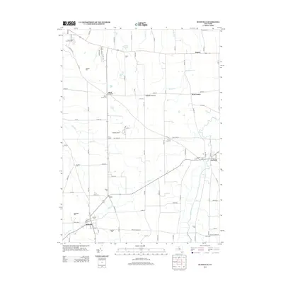
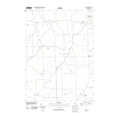 2010 Stanley2010 Print · USGSCovers Seneca, including Geneva, Gorham, and other nearby areas
 - 2013 Map of Phelps, 2013 Print
 2013 Phelps2013 Print · USGSCovers Seneca, including Geneva, Phelps, and other nearby areas
 - 2013 Map of Rushville, 2013 Print
 2013 Rushville2013 Print · USGSCovers Seneca, including Canandaigua, Canandaigua, and other nearby areas
 - 2013 Map of Clifton Springs, 2013 Print
 2013 Clifton Springs2013 Print · USGSCovers Seneca, including Farmington, Canandaigua, and other nearby areas
 - 2013 Map of Stanley, 2013 Print
 2013 Stanley2013 Print · USGSCovers Seneca, including Geneva, Gorham, and other nearby areas
 - 2016 Map of Rushville, 2016 Print
 2016 Rushville2016 Print · USGSCovers Seneca, including Canandaigua, Canandaigua, and other nearby areas
 - 2016 Map of Phelps, 2016 Print
 2016 Phelps2016 Print · USGSCovers Seneca, including Geneva, Phelps, and other nearby areas
 - 2016 Map of Clifton Springs, 2016 Print
 2016 Clifton Springs2016 Print · USGSCovers Seneca, including Farmington, Canandaigua, and other nearby areas
 - 2016 Map of Stanley, 2016 Print
 2016 Stanley2016 Print · USGSCovers Seneca, including Geneva, Gorham, and other nearby areas
Showing maps 1-25 of 33
Top cities near Seneca
- Farmington historical maps
- Arcadia historical maps
- Geneva historical maps
- Canandaigua historical maps
- Canandaigua historical maps
- Manchester historical maps
See more
Top neighborhoods of Seneca
Frequently asked questions
- What are the different types of historical maps available for Seneca?
- What is the oldest map of Seneca?
- Where can I purchase historical maps of Seneca for my home or office?
- Where can I download high-res historical maps of Seneca?
- Are there historical topographic maps available for Seneca?
- Is there historical aerial imagery available for Seneca?
- Where are historical maps of Seneca sourced from?