Old Maps of Upper Nyack, Clarkstown for Metal Detecting
Plan your next treasure hunt with 31 historic maps of Upper Nyack. Find old homesites, ghost towns, trails, and gathering spots that may be lost to time — perfect for identifying promising metal detecting locations.
- Locate forgotten sites: Uncover places like long-lost settlements, abandoned rail lines, or gathering spots.
- Plan better hunts: Use map overlays combined with LiDAR or satellite views to narrow in on historically rich areas.
- Made for detectorists: Thousands of hobbyists use these maps to discover relics, coins, and hidden history.
Use these historic maps to boost your research and find new opportunities beneath the surface of Upper Nyack.
Upper Nyack, Clarkstown maps
(31)- 1892 Map of Tarrytown
 1892 Tarrytown1892 Print · USGSThe Hudson River valley in the late nineteenth century was a corridor of engineering and industrial growth. Researchers can trace the path of the Croton Aqueduct, locate the State Prison at Sing Sing, or find family names near Merritts Corners and Samsondale.
 - 1893 Map of Tarrytown
 1893 Tarrytown1893 Print · USGSThe Hudson Valley was a powerhouse of transit and utility in the late 1800s, serving as the corridor for New York’s water and rail networks. Genealogists can trace family names and old landings from Haverstraw to Tarrytown, including features like the State Prison and the massive Croton Dam.3 unique versions available
 - 1902 Map of Tarrytown
 1902 Tarrytown1902 Print · USGSThe Hudson River valley at the turn of the century shows a landscape of busy river landings and nascent suburbs. Genealogists and historians can trace old homesteads and landmarks like Waldberg Landing, the State Prison at Ossining, and the Croton Aqueduct.11 unique versions available
 - 1937 Map of Nyack
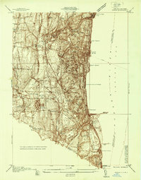 1937 Nyack1937 Print · USGSRockland County’s riverfront and wooded interior are shown here in the late 1930s as the rail-and-river economy remained in full swing. Genealogists and historians can trace family locations near the Rockland State Hospital, Piermont, and the St Catharines Cem.
 - 1937 Map of Tarrytown
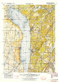 1937 Tarrytown1937 Print · USGSThe Hudson River valley during the 1930s serves as a busy corridor of rail, water, and infrastructure. Genealogists and local historians can trace the old landings at Waldberg Landing, the grounds of the State Prison in Ossining, and the rail lines through Nyack.
 - 1938 Map of Haverstraw
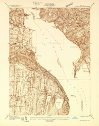 1938 Haverstraw1938 Print · USGSThe lower Hudson River corridor comes alive in this late 1930s survey of the bustling industrial and commuter towns along the riverbanks. Researchers can trace the path of the West Shore RR, find family roots at St Peters Cem, or locate the New York Reconstruction Home.
 - 1940 Map of Nyack, 1952 Print
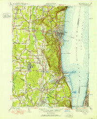 1940 Nyack1952 Print · USGSThe Hudson River shoreline and Rockland County interior are captured here just before mid-century suburban expansion. Researchers can trace the extensive grounds of the Rockland State Hospital, the paths of the West Shore RR, and historic sites like Sneden Landing.
 - 1942 Map of Nyack
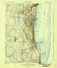 1942 Nyack1942 Print · USGSThe Hudson River riverfront and the high ridges of the Palisades define this area in the early years of the war. Researchers can trace the legacy of rail and river travel through the Tarrytown Ferry and the Erie RR, or locate family sites near Sneden Landing and Rockland State Hospital.
 - 1943 Map of Haverstraw
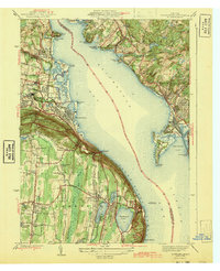 1943 Haverstraw1943 Print · USGSThe Hudson River's wide reach at the Tappan Zee is documented here during the early years of the war. Researchers can trace local heritage through the Rockland Lighthouse, family-named landings like Snedeker Landing, and early aviation at Christie Airport.2 unique versions available
 - 1943 Map of Nyack
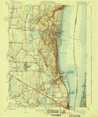 1943 Nyack1943 Print · USGSSoutheastern Rockland County and the Bergen County border are shown in the early 1940s as riverfront villages and rail-dependent towns. Trace the sprawling grounds of the Rockland State Hospital or locate ancestors in Oak Hill Cemetery and Rockland Cemetery.2 unique versions available
 - 1947 Map of Hartford, 1955 Print
 1947 Hartford1955 Print · USGSSouthern New England and the Hudson Valley are shown in detail during the post-war expansion era. Genealogists and researchers can trace local landmarks from the State Capitol and Yale University to the Stratford Lighthouse and Woodlawn Cem.2 unique versions available
 - 1948 Map of Hartford
 1948 Hartford1948 Print · USGSSouthern New England is captured here in the late 1940s, showcasing a landscape of thriving industrial cities and developing parkways. Genealogists and historians can trace the rail networks of the New York New Haven and Hartford RR or locate coastal defense sites like Fort Terry and Camp Shanks.2 unique versions available
 - 1955 Map of Haverstraw, 1958 Print
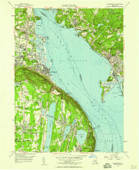 1955 Haverstraw1958 Print · USGSThe Hudson River valley during the mid-1950s shows a region of rising suburban life and deep-seated river history. Genealogists and local historians can locate the State Rehabilitation Hospital, Mount Repose Cemetery, and the riverfront Rockland Lighthouse.2 unique versions available
 - 1957 Map of Nyack, 1959 Print
 1957 Nyack1959 Print · USGSRockland County is seen during a period of rapid post-war growth as the new Thruway begins to reshape the Hudson riverfront. Trace the grounds of Rockland State Hospital, locate the historic Old Stone Ch, or follow the rail lines of the Erie RR through Orangeburg.2 unique versions available
 - 1961 Map of Hartford
 1961 Hartford1961 Print · USGSSouthern New England and the Hudson Valley are shown here in the mid-fifties, capturing a landscape of booming coastal cities and interior hill towns. Researchers can trace the legacy of the New York New Haven and Hartford rail corridor and find strategic sites like Camp Shanks and Fort Michie.
 - 1962 Map of Hartford, 1971 Print
 1962 Hartford1971 Print · USGSSouthern New England and the Hudson Valley are shown in the early sixties, as suburban growth reached into the foothills. Trace the path of the New York New Haven & Hartford RR and find landmarks like Camp Nathan Hale and Gillette Castle State Park.3 unique versions available
 - 1965 Map of Hartford
 1965 Hartford1965 Print · USGSSouthern New England and the Hudson Valley are shown here during the mid-sixties expansion of the Interstate era. Trace the path of the New York New Haven & Hartford RR or locate historic landmarks like West Point Military Reservation and the Merritt Parkway.2 unique versions available
 - 1967 Map of Nyack, 1969 Print
 1967 Nyack1969 Print · USGSThe Hudson River's western shore in the late sixties reveals a landscape of established riverfront villages and growing suburban institutions. Genealogists and historians can trace Oak Hill Cemetery, the Rockland State Hospital, and the historic enclave at Sneden Landing.3 unique versions available
 - 1967 Map of Haverstraw, 1969 Print
 1967 Haverstraw1969 Print · USGSThe Hudson River's wide Haverstraw Bay is captured here in the late sixties, showing the suburban growth of Rockland and Westchester counties. Genealogists can locate family landmarks like Hillside Cem, Mount Repose Cemetery, and the Stony Point Lighthouse.
 - 1979 Map of Haverstraw
 1979 Haverstraw1979 Print · USGSHaverstraw and the Hudson River banks show significant suburban and institutional growth by the late seventies. Researchers can locate family sites and landmarks like the Stony Point Lighthouse, Mount Repose Cemetery, and the F D Roosevelt VA Hospital.
 - 1986 Map of Bridgeport
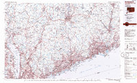 1986 Bridgeport1986 Print · USGSSpanning the New York and Connecticut border in the mid-eighties, this survey shows the dense rail and parkway network connecting the Hudson to the Sound. Researchers can trace the massive New Croton Reservoir system or locate landmarks like the West Point U.S. Military Academy.3 unique versions available
 - 2010 Map of Haverstraw, 2010 Print
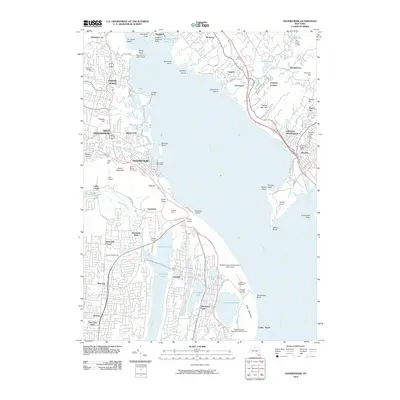 2010 Haverstraw2010 Print · USGSThe Hudson River shoreline and its steep ridges are captured here during the first decade of the new millennium. Researchers can trace the legacy of the riverfront through sites like the Stony Point Light House, Treason Hill, and Mount Repose Cemetery.
 - 2011 Map of Nyack, 2011 Print
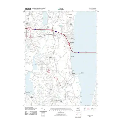 2011 Nyack2011 Print · USGSThe western bank of the Tappan Zee is captured here in the early twenty-first century, showing the dense settlement of the Nyack area and the Hudson riverfront. Genealogists and local historians can trace historical sites from Piermont Pier and Sneden Landing to Oak Hill Cemetery.
 - 2013 Map of Nyack, 2013 Print
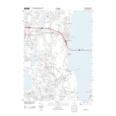 2013 Nyack2013 Print · USGSThe Hudson River waterfront and Rockland County suburbs are shown here in detail during the early 21st century. Trace local landmarks from Sneden Landing to the Lamont Observatory, or locate family sites at Rockland Cem and Mt Moor Cem.
 - 2013 Map of Haverstraw, 2013 Print
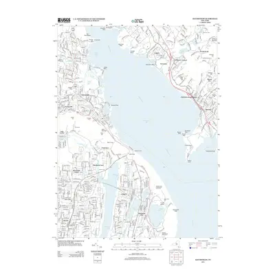 2013 Haverstraw2013 Print · USGSThe Hudson River's wide reach at Haverstraw Bay is captured here in the early twenty-first century, showing the settled shores of Rockland and Westchester counties. Trace local landmarks from the Stony Point Light House to the quiet grounds of Gethsemane Cem and Rockland Lake.
Showing maps 1-25 of 31
Top cities near Upper Nyack
- New York historical maps
- North Hempstead historical maps
- Yonkers historical maps
- Ramapo historical maps
- Paterson historical maps
- Greenburgh historical maps
See more
Frequently asked questions
- What are the different types of historical maps available for Upper Nyack?
- What is the oldest map of Upper Nyack?
- Where can I purchase historical maps of Upper Nyack for my home or office?
- Where can I download high-res historical maps of Upper Nyack?
- Are there historical topographic maps available for Upper Nyack?
- Is there historical aerial imagery available for Upper Nyack?
- Where are historical maps of Upper Nyack sourced from?