2000s (21st Century) Maps of Fulton, New York
Explore 20 historic maps of Fulton from the 2000s (21st Century). These maps offer a rare glimpse into what life looked like during the 2000s — showing old roads, neighborhoods, homes, and landmarks that have changed or disappeared over time.
Whether you're researching your family's past, planning a metal detecting trip, or studying how Fulton's landscape evolved across the 2000s, these high-resolution maps are a powerful tool for exploring the history of this region.
- Focus on a specific era: All maps on this page are from the 2000s, giving you a focused view of this time period.
- See what’s changed: Compare century-old streets, trails, and buildings to today's modern landscape using overlays and satellite layers.
- Research with precision: Use these maps for genealogy, historical research, land use analysis, or educational projects.
- View, download, or print: Maps are fully viewable online in high resolution, and can be downloaded or printed for your own records.
Start exploring Fulton's history through authentic maps from the 2000s. This is your window into the past.
Fulton, NY maps
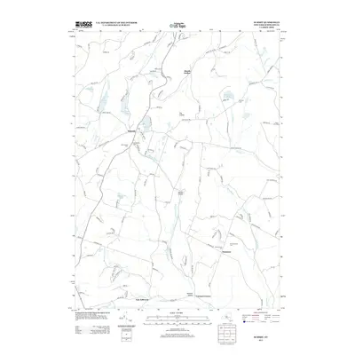
(20)- 2010 Map of Middleburgh, 2010 Print
 2010 Middleburgh2010 Print · USGSCovers Fulton, including Middleburgh, Wright, and other nearby areas
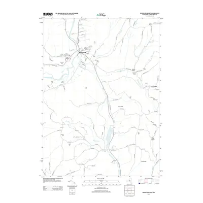
 - 2010 Map of Summit, 2010 Print
 2010 Summit2010 Print · USGSCovers Fulton, including Richmondville, Jefferson, and other nearby areas
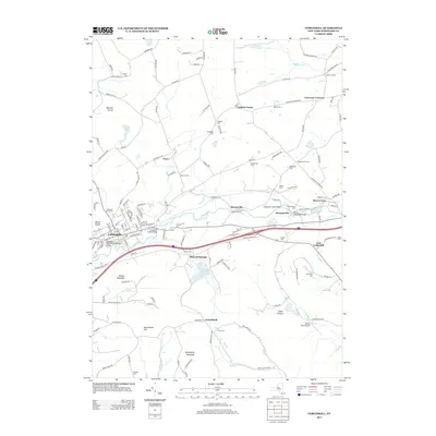
 - 2010 Map of Cobleskill, 2010 Print
 2010 Cobleskill2010 Print · USGSCovers Fulton, including Cobleskill, Cobleskill, and other nearby areas
 - 2010 Map of Breakabeen, 2010 Print
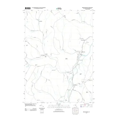
 2010 Breakabeen2010 Print · USGSCovers Fulton, including Middleburgh, Richmondville, and other nearby areas
 - 2013 Map of Summit, 2013 Print
 2013 Summit2013 Print · USGSCovers Fulton, including Richmondville, Jefferson, and other nearby areas
 - 2013 Map of Cobleskill, 2013 Print
 2013 Cobleskill2013 Print · USGSCovers Fulton, including Cobleskill, Cobleskill, and other nearby areas
 - 2013 Map of Middleburgh, 2013 Print
 2013 Middleburgh2013 Print · USGSCovers Fulton, including Middleburgh, Wright, and other nearby areas
 - 2013 Map of Breakabeen, 2013 Print
 2013 Breakabeen2013 Print · USGSCovers Fulton, including Middleburgh, Richmondville, and other nearby areas
 - 2016 Map of Cobleskill, 2016 Print
 2016 Cobleskill2016 Print · USGSCovers Fulton, including Cobleskill, Cobleskill, and other nearby areas
 - 2016 Map of Middleburgh, 2016 Print
 2016 Middleburgh2016 Print · USGSCovers Fulton, including Middleburgh, Wright, and other nearby areas
 - 2016 Map of Summit, 2016 Print
 2016 Summit2016 Print · USGSCovers Fulton, including Richmondville, Jefferson, and other nearby areas
 - 2016 Map of Breakabeen, 2016 Print
 2016 Breakabeen2016 Print · USGSCovers Fulton, including Middleburgh, Richmondville, and other nearby areas
 - 2019 Map of Breakabeen, 2019 Print
 2019 Breakabeen2019 Print · USGSCovers Fulton, including Middleburgh, Richmondville, and other nearby areas
 - 2019 Map of Cobleskill, 2019 Print
 2019 Cobleskill2019 Print · USGSCovers Fulton, including Cobleskill, Cobleskill, and other nearby areas
 - 2019 Map of Summit, 2019 Print
 2019 Summit2019 Print · USGSCovers Fulton, including Richmondville, Jefferson, and other nearby areas
 - 2019 Map of Middleburgh, 2019 Print
 2019 Middleburgh2019 Print · USGSCovers Fulton, including Middleburgh, Wright, and other nearby areas
 - 2023 Map of Breakabeen, 2023 Print
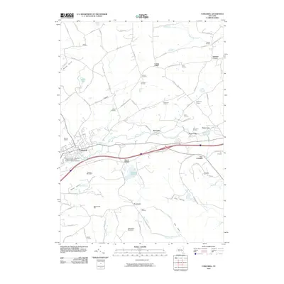
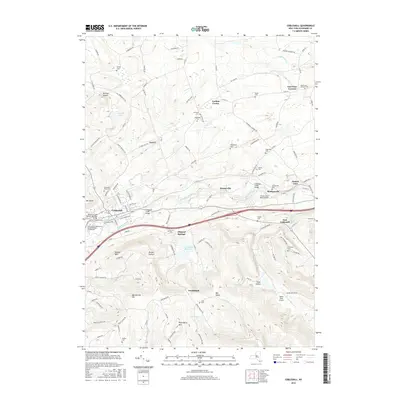
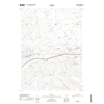
 2023 Breakabeen2023 Print · USGSSchoharie County hamlets and valley farms are documented here in the early twenty-first century as they line the Schoharie Creek corridor. Researchers can locate several burial grounds, including Breakabeen Cem and West Fulton Village Cem, alongside landmarks like Towpath Mountain.
 - 2023 Map of Middleburgh, 2023 Print
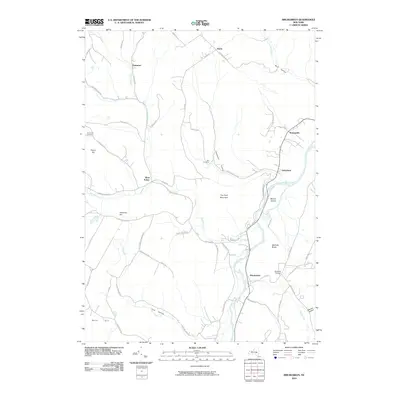
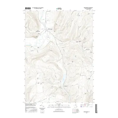
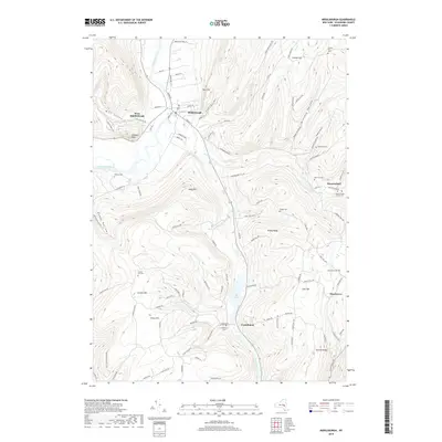
 2023 Middleburgh2023 Print · USGSSchoharie County's diverse topography comes into sharp focus in this contemporary record of the highlands around Middleburgh. Researchers can trace ancestral locations and local landmarks through detailed features like Huntersland School Cem, Vromans Nose, and The Vlaie.
 - 2023 Map of Cobleskill, 2023 Print
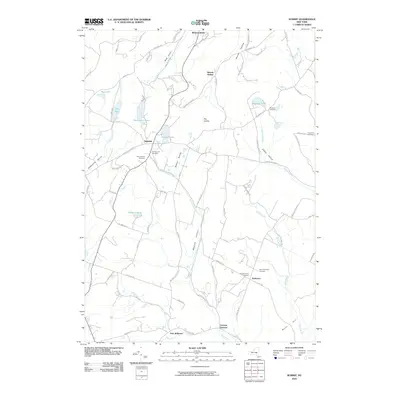
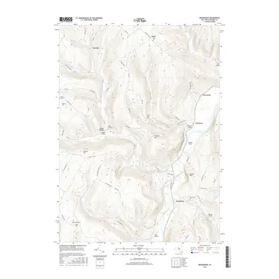
 2023 Cobleskill2023 Print · USGSSchoharie County's valley floor and ridge lines are meticulously detailed here, showing the development of Cobleskill and its surrounding hamlets. Genealogists and historians can trace dozens of family cemeteries like Lawyer Cem and Shultas Cem tucked between landmarks like Petersburg Mountain.
 - 2023 Map of Summit, 2023 Print
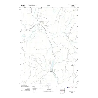
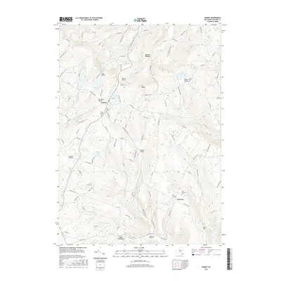
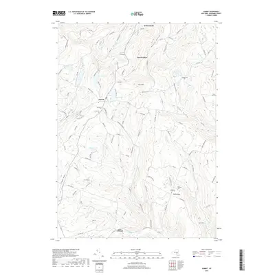
 2023 Summit2023 Print · USGSSchoharie County's high ridges and deep hollows are documented in this recent survey. Local researchers can locate family burial grounds like Eminence Walled Cem and trace the old road layouts near Summit Lake and Beards Hollow.
End of results
Showing maps 1-20 of 20
Top cities near Fulton
- Cobleskill historical maps
- Duanesburg historical maps
- Cobleskill historical maps
- Middleburgh historical maps
- Schoharie historical maps
- Berne historical maps
See more
Top neighborhoods of Fulton
- Breakabeen historical maps
- Fultonham historical maps
- Vintonton historical maps
- Watsonville historical maps
- Patria historical maps
- West Fulton historical maps
Frequently asked questions
- What are the different types of historical maps available for Fulton?
- What is the oldest map of Fulton?
- Where can I purchase historical maps of Fulton for my home or office?
- Where can I download high-res historical maps of Fulton?
- Are there historical topographic maps available for Fulton?
- Is there historical aerial imagery available for Fulton?
- Where are historical maps of Fulton sourced from?