2020s Maps of Corning, New York
Explore 4 historic maps of Corning from the 2020s. These maps offer a rare glimpse into what life looked like during the 2020s — showing old roads, neighborhoods, homes, and landmarks that have changed or disappeared over time.
Whether you're researching your family's past, planning a metal detecting trip, or studying how Corning's landscape evolved across the 2020s, these high-resolution maps are a powerful tool for exploring the history of this region.
- Focus on a specific era: All maps on this page are from the 2020s, giving you a focused view of this time period.
- See what’s changed: Compare century-old streets, trails, and buildings to today's modern landscape using overlays and satellite layers.
- Research with precision: Use these maps for genealogy, historical research, land use analysis, or educational projects.
- View, download, or print: Maps are fully viewable online in high resolution, and can be downloaded or printed for your own records.
Start exploring Corning's history through authentic maps from the 2020s. This is your window into the past.
Corning, NY maps
(4)- 2023 Map of Big Flats, 2023 Print
 2023 Big Flats2023 Print · USGSBig Flats and the Chemung River valley are shown in this modern survey of south-central New York. Local historians can trace family plots at Rural Home Cem and Miller Cem, or locate the site of the old Chemung-Feeder Canal.
 - 2023 Map of Seeley Creek, 2023 Print
 2023 Seeley Creek2023 Print · USGSThe Chemung River valley and its surrounding ridges appear in fine detail in this contemporary study of New York's Southern Tier. Genealogists can trace family landmarks at Mount Saviour Monastery and local burial grounds like Sagetown Cem or Dutch Hill Cem.
 - 2023 Map of Corning, 2023 Print
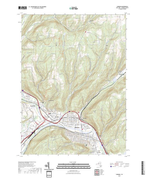 2023 Corning2023 Print · USGSThe river valleys of Steuben County come together here as the modern city of Corning and its neighbors expand along the riverbanks. Researchers can trace family history through numerous local sites including Fairview Cem, Painted Post, and the West High Street Cem.
 - 2023 Map of Caton, 2023 Print
 2023 Caton2023 Print · USGSThe northern edge of Steuben County transitions from the Chemung River valley into high timber and swamp lands in the early 2020s. Trace local family roots and rural commerce through Elmwood Cem, the Old Port Royal Airport, and Cheese Factory Rd.
End of results
Showing maps 1-4 of 4
Top cities near Corning
- Elmira historical maps
- Horseheads historical maps
- Bath historical maps
- Corning historical maps
- Southport historical maps
- Erwin historical maps
See more
Top neighborhoods of Corning
- Corning Manor historical maps
- Gibson historical maps
- East Corning historical maps
- Denmark historical maps
- South Corning historical maps
- Riverside historical maps
Frequently asked questions
- What are the different types of historical maps available for Corning?
- What is the oldest map of Corning?
- Where can I purchase historical maps of Corning for my home or office?
- Where can I download high-res historical maps of Corning?
- Are there historical topographic maps available for Corning?
- Is there historical aerial imagery available for Corning?
- Where are historical maps of Corning sourced from?