Old Maps of Fremont, New York for Academic Research
Study the evolution of Fremont with 33 high-resolution historic maps. Whether you're teaching, researching, or modeling changes in land use, these maps provide essential visual documentation of urban, environmental, and geographic change.
- Analyze long-term change: Track patterns in development, transportation, and natural features.
- Ideal for environmental or urban studies: Support academic projects with primary historical map data.
- Use in the classroom or lab: Educators and researchers rely on these maps to bring historical context to life.
These maps are a powerful tool for teaching, research, and visualizing how Fremont has changed over the decades.
Fremont, NY maps
(33)- 1915 Map of Hornell, 1962 Print
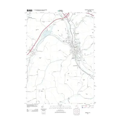
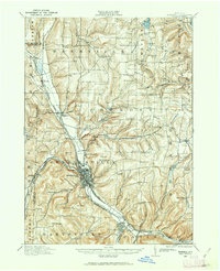 1915 Hornell1962 Print · USGSSteuben County was a bustling rail hub when this survey was conducted, featuring a dense network of steam and electric lines. Genealogists can locate dozens of country schoolhouses like Babcock School and Eells School, alongside rural settlements such as Arkport and Haskinville.
 - 1918 Map of Hornell
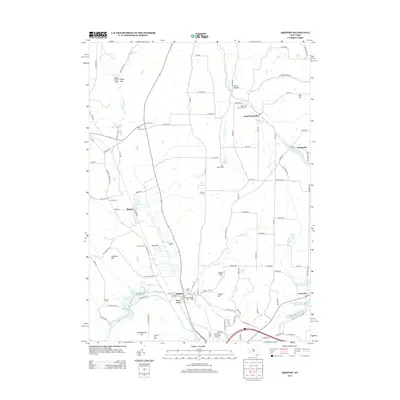
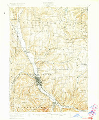 1918 Hornell1918 Print · USGSThe rail-and-river corridor of Steuben County comes alive in the years following the Great War. Genealogists can trace family footprints across dozens of country school sites like Dutch Street School and rail hubs from Arkport to Canisteo.6 unique versions available
 - 1950 Map of Elmira
 1950 Elmira1950 Print · USGSThe Finger Lakes region thrived in the late 1940s as a hub of industry and transport. Trace family roots and vanished landmarks near Seneca Lake or explore the rail lines of the Erie RR and the sprawling Seneca Ordnance Depot.2 unique versions available
 - 1954 Map of Canisteo, 1956 Print
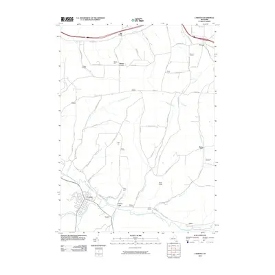
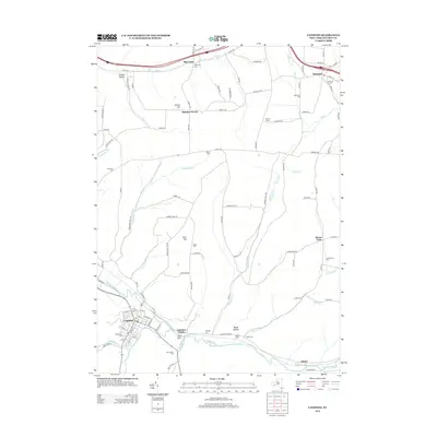
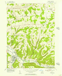 1954 Canisteo1956 Print · USGSSteuben County rural life in the mid-fifties centered on the river valley and the vital transit corridor of the Erie RR. Researchers can trace old family lineages through numerous remote burial sites like Nicholson Cem and Johnson Cem or locate the industrial footprint of local Gas Wells.3 unique versions available
 - 1958 Map of Elmira
 1958 Elmira1958 Print · USGSThe New York Finger Lakes during the late fifties reveal a complex landscape of glacial geology and industrial growth. Researchers can trace historic transport corridors like the Erie Canal and Erie RR, or locate institutional landmarks like Cornell University.2 unique versions available
 - 1962 Map of Elmira, 1969 Print
 1962 Elmira1969 Print · USGSThe Finger Lakes region and Southern Tier are captured here during a period of industrial maturity and highway expansion. Researchers can trace the path of the Erie Canal, the footprint of the Seneca Army Depot, and legacy rail lines through Elmira and Ithaca.4 unique versions available
 - 1965 Map of Elmira
 1965 Elmira1965 Print · USGSThe Finger Lakes and Southern Tier regions are captured in the mid-sixties, showcasing a landscape of deep glacial valleys and heavy rail infrastructure. Trace old railroad corridors like the Pennsylvania RR or visit landmarks like Letchworth State Park and the Seneca Army Depot.
 - 1965 Map of Haskinville, 1967 Print
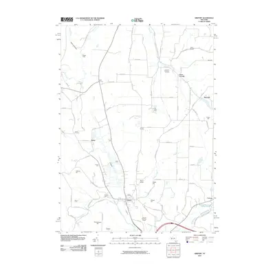
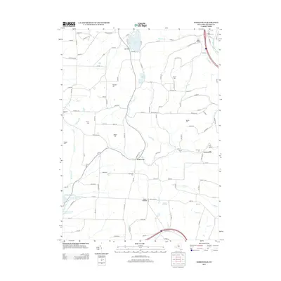
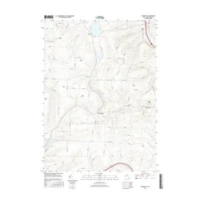
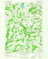 1965 Haskinville1967 Print · USGSSteuben County is shown here in the mid-1960s, documenting a landscape of upland dairy farms and valley railroads. Researchers can trace family history through landmarks like Beachville Cem, the Grange Hall, and the historic Loon Lake Chapel.
 - 1965 Map of Arkport, 1967 Print
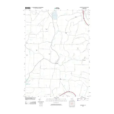
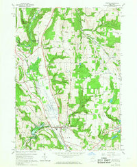 1965 Arkport1967 Print · USGSThe northern reaches of the Canisteo River valley come to life in the mid-1960s, showing a landscape shaped by rail transport and flood control. Genealogists and historians can trace family locations near Dotys Corners, the Grange Hall, and the marshy expanse of The Muck.3 unique versions available
 - 1965 Map of Hornell, 1967 Print
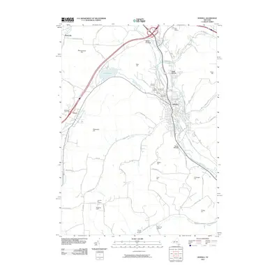
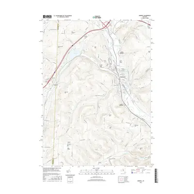
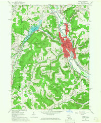 1965 Hornell1967 Print · USGSThe Canisteo River valley is shown at a mid-century peak of industrial activity as the Erie Lackawanna railroad winds through the city. Researchers can trace neighborhood development near St Marys Cem or locate the rural crossroads of Bishopville and Hartsville Center.2 unique versions available
 - 1978 Map of Hornell
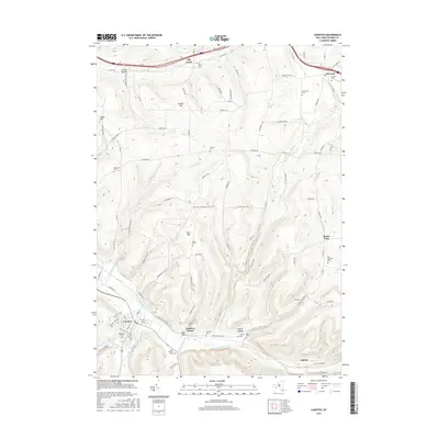
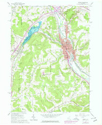 1978 Hornell1978 Print · USGSSteuben County was a bustling valley hub in the late seventies, defined by its rail corridor and the newly developed Almond Lake. Genealogists and local historians can trace family plots and parish life through St Marys Cemetery, Hartsville Church, and the Columbian School.
 - 1978 Map of Haskinville
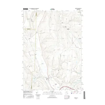
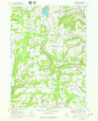 1978 Haskinville1978 Print · USGSSteuben County's upland farms and valley settlements are captured here in the late seventies. Family historians can trace rural property lines and landmarks like Beachville Cem, the Grange Hall in Greenville, and Jobs Corner.
 - 1986 Map of Hornell
 1986 Hornell1986 Print · USGSThe Southern Tier and Finger Lakes region thrive in the 1980s as rail and river corridors link Hornell to Corning. Trace local heritage through landmarks like Alfred University, the Veterans Adm Center, and the shores of Keuka Lake.2 unique versions available
 - 2010 Map of Canisteo, 2010 Print
 2010 Canisteo2010 Print · USGSCovers Fremont, including Hornellsville, Canisteo, and other nearby areas
 - 2010 Map of Arkport, 2010 Print
 2010 Arkport2010 Print · USGSCovers Fremont, including Hornell, Hornellsville, and other nearby areas
 - 2010 Map of Haskinville, 2010 Print
 2010 Haskinville2010 Print · USGSCovers Fremont, including Wayland, Cohocton, and other nearby areas
 - 2010 Map of Hornell, 2010 Print
 2010 Hornell2010 Print · USGSCovers Fremont, including Hornell, Alfred, and other nearby areas
 - 2013 Map of Hornell, 2013 Print
 2013 Hornell2013 Print · USGSCovers Fremont, including Hornell, Alfred, and other nearby areas
 - 2013 Map of Arkport, 2013 Print
 2013 Arkport2013 Print · USGSCovers Fremont, including Hornell, Hornellsville, and other nearby areas
 - 2013 Map of Canisteo, 2013 Print
 2013 Canisteo2013 Print · USGSCovers Fremont, including Hornellsville, Canisteo, and other nearby areas
 - 2013 Map of Haskinville, 2013 Print
 2013 Haskinville2013 Print · USGSCovers Fremont, including Wayland, Cohocton, and other nearby areas
 - 2016 Map of Haskinville, 2016 Print
 2016 Haskinville2016 Print · USGSCovers Fremont, including Wayland, Cohocton, and other nearby areas
 - 2016 Map of Hornell, 2016 Print
 2016 Hornell2016 Print · USGSCovers Fremont, including Hornell, Alfred, and other nearby areas
 - 2016 Map of Canisteo, 2016 Print
 2016 Canisteo2016 Print · USGSCovers Fremont, including Hornellsville, Canisteo, and other nearby areas
 - 2016 Map of Arkport, 2016 Print
 2016 Arkport2016 Print · USGSCovers Fremont, including Hornell, Hornellsville, and other nearby areas
Showing maps 1-25 of 33
Top cities near Fremont
- Bath historical maps
- Hornell historical maps
- North Dansville historical maps
- Alfred historical maps
- Dansville historical maps
- Hornellsville historical maps
See more
Top neighborhoods of Fremont
Frequently asked questions
- What are the different types of historical maps available for Fremont?
- What is the oldest map of Fremont?
- Where can I purchase historical maps of Fremont for my home or office?
- Where can I download high-res historical maps of Fremont?
- Are there historical topographic maps available for Fremont?
- Is there historical aerial imagery available for Fremont?
- Where are historical maps of Fremont sourced from?