2000s (21st Century) Maps of Tioga Terrace, Owego
Explore 10 historic maps of Tioga Terrace from the 2000s (21st Century). These maps offer a rare glimpse into what life looked like during the 2000s — showing old roads, neighborhoods, homes, and landmarks that have changed or disappeared over time.
Whether you're researching your family's past, planning a metal detecting trip, or studying how Tioga Terrace's landscape evolved across the 2000s, these high-resolution maps are a powerful tool for exploring the history of this region.
- Focus on a specific era: All maps on this page are from the 2000s, giving you a focused view of this time period.
- See what’s changed: Compare century-old streets, trails, and buildings to today's modern landscape using overlays and satellite layers.
- Research with precision: Use these maps for genealogy, historical research, land use analysis, or educational projects.
- View, download, or print: Maps are fully viewable online in high resolution, and can be downloaded or printed for your own records.
Start exploring Tioga Terrace's history through authentic maps from the 2000s. This is your window into the past.
Tioga Terrace, Owego maps
(10)- 2010 Map of Endicott, 2010 Print
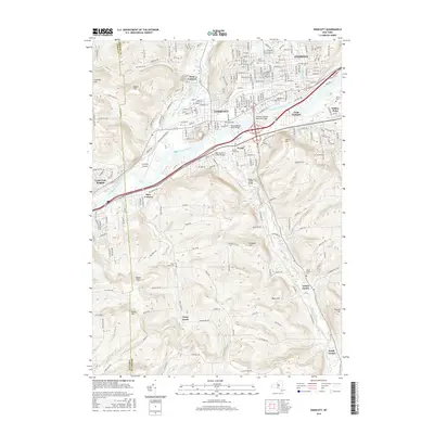
 2010 Endicott2010 Print · USGSCovers Tioga Terrace, including Union, Vestal, and other nearby areas
 - 2010 Map of Apalachin, 2010 Print
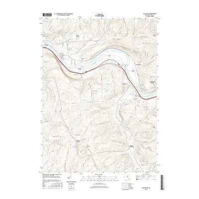
 2010 Apalachin2010 Print · USGSCovers Tioga Terrace, including Owego, Owego, and other nearby areas
 - 2013 Map of Endicott, 2013 Print
 2013 Endicott2013 Print · USGSCovers Tioga Terrace, including Union, Vestal, and other nearby areas
 - 2013 Map of Apalachin, 2013 Print
 2013 Apalachin2013 Print · USGSCovers Tioga Terrace, including Owego, Owego, and other nearby areas
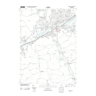
 - 2016 Map of Endicott, 2016 Print
 2016 Endicott2016 Print · USGSCovers Tioga Terrace, including Union, Vestal, and other nearby areas
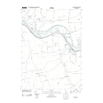
 - 2016 Map of Apalachin, 2016 Print
 2016 Apalachin2016 Print · USGSCovers Tioga Terrace, including Owego, Owego, and other nearby areas
 - 2019 Map of Apalachin, 2019 Print
 2019 Apalachin2019 Print · USGSCovers Tioga Terrace, including Owego, Owego, and other nearby areas
 - 2019 Map of Endicott, 2019 Print
 2019 Endicott2019 Print · USGSCovers Tioga Terrace, including Union, Vestal, and other nearby areas
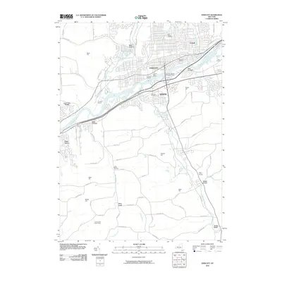
 - 2023 Map of Endicott, 2023 Print
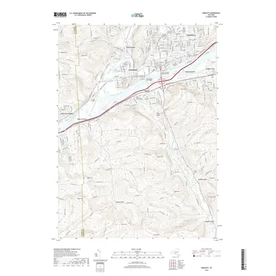
 2023 Endicott2023 Print · USGSThe Susquehanna River valley near the New York and Pennsylvania border shows a landscape of established river towns and climbing hill country. Researchers can trace family history through several burial grounds like Riverside Cem and find landmarks such as the Tri-Cities Airport or Basket Lake.
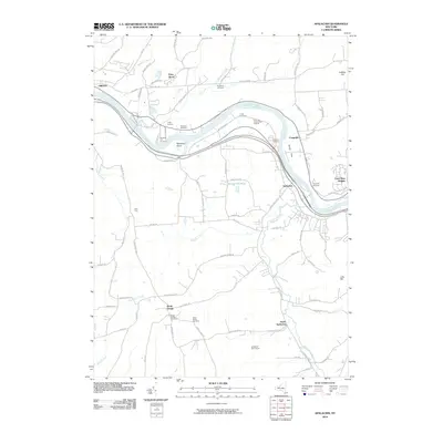
 - 2023 Map of Apalachin, 2023 Print
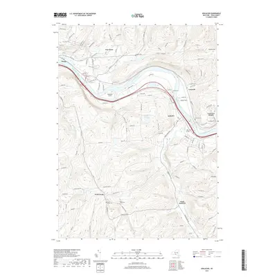
 2023 Apalachin2023 Print · USGSTioga County's river valley and southern uplands are shown in this 2023 survey. Genealogists and historians can locate numerous burial sites like Riverside Cem and Hiawatha Cem along the Susquehanna River.
End of results
Showing maps 1-10 of 10
Frequently asked questions
- What are the different types of historical maps available for Tioga Terrace?
- What is the oldest map of Tioga Terrace?
- Where can I purchase historical maps of Tioga Terrace for my home or office?
- Where can I download high-res historical maps of Tioga Terrace?
- Are there historical topographic maps available for Tioga Terrace?
- Is there historical aerial imagery available for Tioga Terrace?
- Where are historical maps of Tioga Terrace sourced from?