2000s (21st Century) Maps of Marbletown, New York
Explore 25 historic maps of Marbletown from the 2000s (21st Century). These maps offer a rare glimpse into what life looked like during the 2000s — showing old roads, neighborhoods, homes, and landmarks that have changed or disappeared over time.
Whether you're researching your family's past, planning a metal detecting trip, or studying how Marbletown's landscape evolved across the 2000s, these high-resolution maps are a powerful tool for exploring the history of this region.
- Focus on a specific era: All maps on this page are from the 2000s, giving you a focused view of this time period.
- See what’s changed: Compare century-old streets, trails, and buildings to today's modern landscape using overlays and satellite layers.
- Research with precision: Use these maps for genealogy, historical research, land use analysis, or educational projects.
- View, download, or print: Maps are fully viewable online in high resolution, and can be downloaded or printed for your own records.
Start exploring Marbletown's history through authentic maps from the 2000s. This is your window into the past.
Marbletown, NY maps
(25)- 2010 Map of Ashokan, 2010 Print
 2010 Ashokan2010 Print · USGSCovers Marbletown, including Hurley, Olive, and other nearby areas
 - 2010 Map of Rosendale, 2010 Print
 2010 Rosendale2010 Print · USGSCovers Marbletown, including New Paltz, Ulster, and other nearby areas
 - 2010 Map of Mohonk Lake, 2010 Print
 2010 Mohonk Lake2010 Print · USGSCovers Marbletown, including New Paltz, Rochester, and other nearby areas
 - 2010 Map of Kingston West, 2010 Print
 2010 Kingston West2010 Print · USGSCovers Marbletown, including Kingston, Ulster, and other nearby areas
 - 2010 Map of Kerhonkson, 2010 Print
 2010 Kerhonkson2010 Print · USGSCovers Marbletown, including Wawarsing, Rochester, and other nearby areas
 - 2013 Map of Rosendale, 2013 Print
 2013 Rosendale2013 Print · USGSCovers Marbletown, including New Paltz, Ulster, and other nearby areas
 - 2013 Map of Kerhonkson, 2013 Print
 2013 Kerhonkson2013 Print · USGSCovers Marbletown, including Wawarsing, Rochester, and other nearby areas
 - 2013 Map of Mohonk Lake, 2013 Print
 2013 Mohonk Lake2013 Print · USGSCovers Marbletown, including New Paltz, Rochester, and other nearby areas
 - 2013 Map of Ashokan, 2013 Print
 2013 Ashokan2013 Print · USGSCovers Marbletown, including Hurley, Olive, and other nearby areas
 - 2013 Map of Kingston West, 2013 Print
 2013 Kingston West2013 Print · USGSCovers Marbletown, including Kingston, Ulster, and other nearby areas
 - 2016 Map of Mohonk Lake, 2016 Print
 2016 Mohonk Lake2016 Print · USGSCovers Marbletown, including New Paltz, Rochester, and other nearby areas
 - 2016 Map of Kerhonkson, 2016 Print
 2016 Kerhonkson2016 Print · USGSCovers Marbletown, including Wawarsing, Rochester, and other nearby areas
 - 2016 Map of Kingston West, 2016 Print
 2016 Kingston West2016 Print · USGSCovers Marbletown, including Kingston, Ulster, and other nearby areas
 - 2016 Map of Rosendale, 2016 Print
 2016 Rosendale2016 Print · USGSCovers Marbletown, including New Paltz, Ulster, and other nearby areas
 - 2016 Map of Ashokan, 2016 Print
 2016 Ashokan2016 Print · USGSCovers Marbletown, including Hurley, Olive, and other nearby areas
 - 2019 Map of Kerhonkson, 2019 Print
 2019 Kerhonkson2019 Print · USGSCovers Marbletown, including Wawarsing, Rochester, and other nearby areas
 - 2019 Map of Kingston West, 2019 Print
 2019 Kingston West2019 Print · USGSCovers Marbletown, including Kingston, Ulster, and other nearby areas
 - 2019 Map of Ashokan, 2019 Print
 2019 Ashokan2019 Print · USGSCovers Marbletown, including Hurley, Olive, and other nearby areas
 - 2019 Map of Mohonk Lake, 2019 Print
 2019 Mohonk Lake2019 Print · USGSCovers Marbletown, including New Paltz, Rochester, and other nearby areas
 - 2019 Map of Rosendale, 2019 Print
 2019 Rosendale2019 Print · USGSCovers Marbletown, including New Paltz, Ulster, and other nearby areas
 - 2023 Map of Kerhonkson, 2023 Print
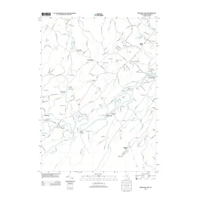
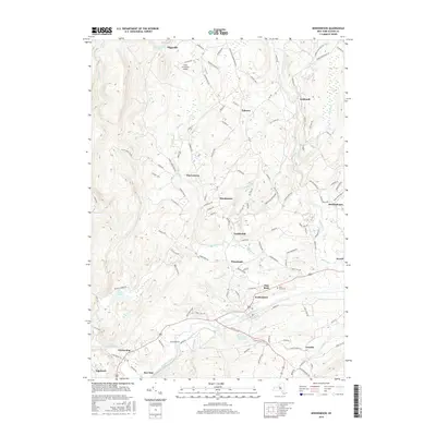
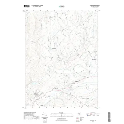
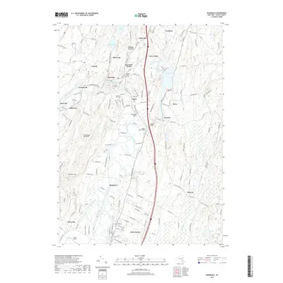
 2023 Kerhonkson2023 Print · USGSKerhonkson and the Rondout Creek valley are captured here in the early twenty-first century, showing a landscape of dispersed hamlets and mountain waterways. Researchers can locate family landmarks at Rochester Center Cem or trace the path of the Delaware Aqueduct past Pataukunk.
 - 2023 Map of Mohonk Lake, 2023 Print
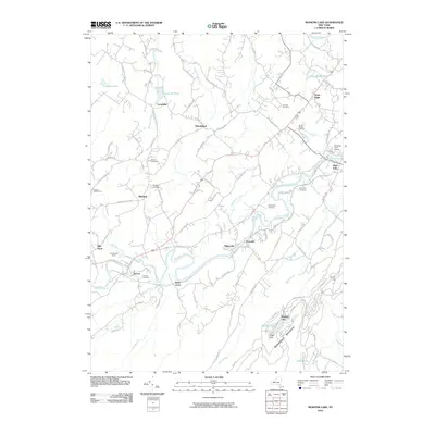
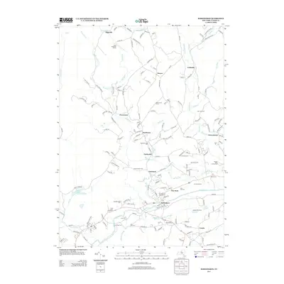
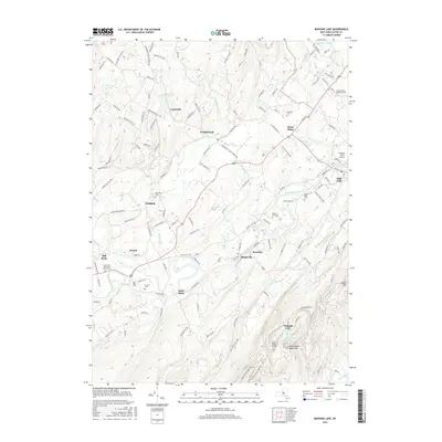
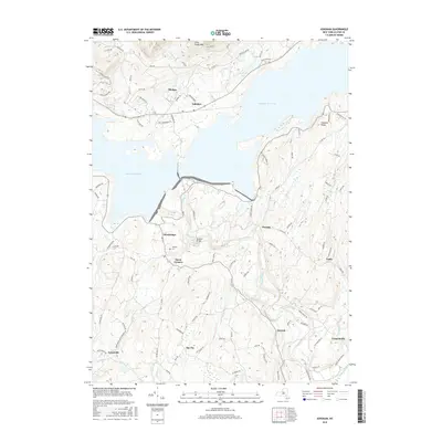
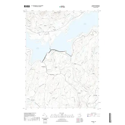
 2023 Mohonk Lake2023 Print · USGSThe Shawangunk Mountains and the Rondout Creek valley are captured here in a period of modern preservation and growth. Researchers can trace historic burial sites like Benton-Bar Cem or explore the landscape around High Falls and the Catskill Aqueduct.
 - 2023 Map of Rosendale, 2023 Print
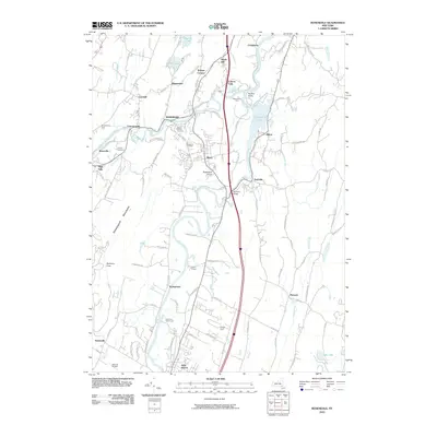
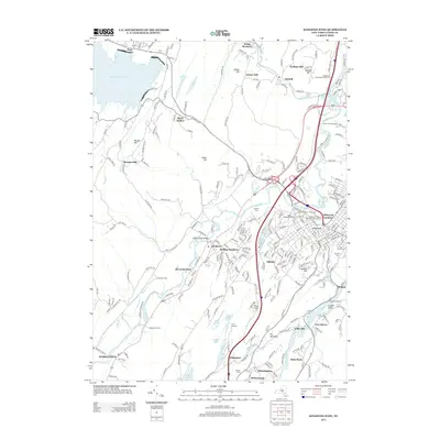
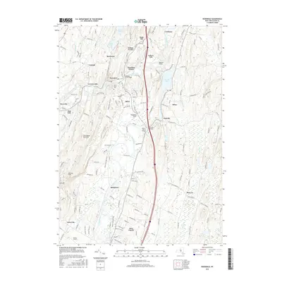
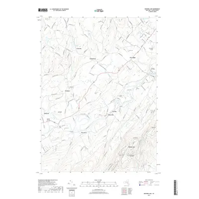
 2023 Rosendale2023 Print · USGSThe northern Wallkill Valley and its surrounding ridges come into focus in this contemporary survey of central Ulster County. Genealogists and hikers can locate historic burial sites like Coxing Cem or trace the rugged trails leading toward Bonticou Crag.
 - 2023 Map of Kingston West, 2023 Print
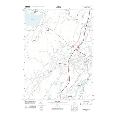
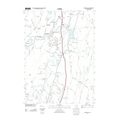
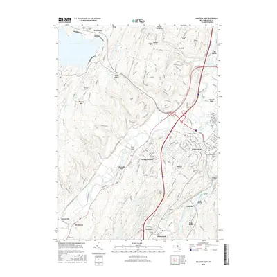
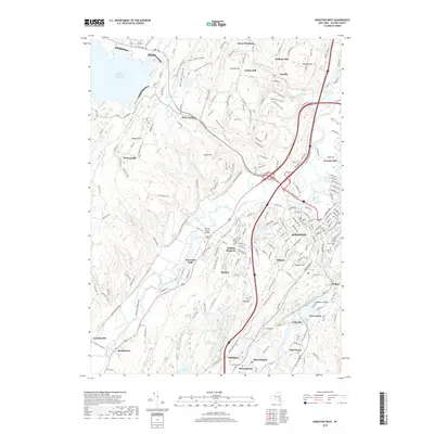
 2023 Kingston West2023 Print · USGSKingston and the surrounding Ulster County countryside appear in great detail during this contemporary period, showing the city's growth alongside the Catskill foothills. Genealogists and researchers can trace local landmarks from Wiltwyck Cemetery to the historic Ulster County Courthouse and the waterfront at Eddyville.
 - 2023 Map of Ashokan, 2023 Print
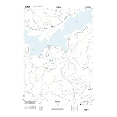
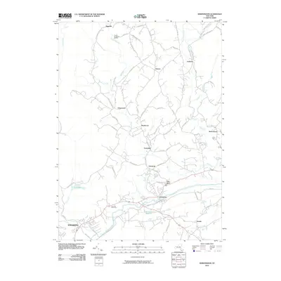
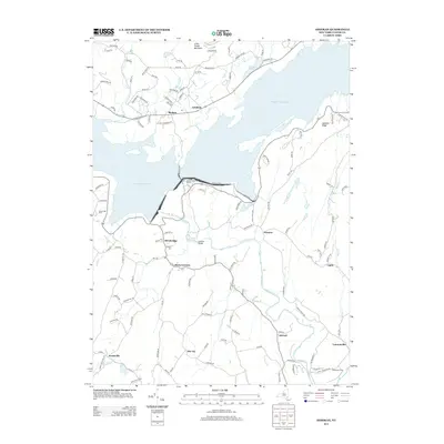
 2023 Ashokan2023 Print · USGSUlster County's landscape is defined here by the massive waters of the Ashokan Reservoir East Basin and the surrounding rural communities. Genealogists and historians can locate family burial grounds at Tongore Cem and trace the residential layout of Shokan and Lomontville.
End of results
Showing maps 1-25 of 25
Top cities near Marbletown
- Poughkeepsie historical maps
- Poughkeepsie historical maps
- Wappinger historical maps
- Kingston historical maps
- Hyde Park historical maps
- Saugerties historical maps
See more
Top neighborhoods of Marbletown
- Atwood historical maps
- Pacama historical maps
- The Vly historical maps
- Lyonsville historical maps
- Mohonk Lake historical maps
- Lapla historical maps
See more
Frequently asked questions
- What are the different types of historical maps available for Marbletown?
- What is the oldest map of Marbletown?
- Where can I purchase historical maps of Marbletown for my home or office?
- Where can I download high-res historical maps of Marbletown?
- Are there historical topographic maps available for Marbletown?
- Is there historical aerial imagery available for Marbletown?
- Where are historical maps of Marbletown sourced from?