Old Maps of Stony Creek, New York for Hiking & Exploration
Hike through history with 47 historic maps of Stony Creek. Explore old trails, ghost towns, and forgotten backroads — perfect for outdoor adventurers and local explorers.
- Rediscover forgotten places: Map out old mining camps, roads, and footpaths that no longer exist on modern maps.
- Layer with modern tools: Combine with LiDAR or satellite views to plan hikes through historical terrain.
- Made for exploration: Popular among hikers, overlanders, and local history lovers.
Use these maps to find adventure and explore the hidden past of Stony Creek.
Stony Creek, NY maps
(47)- 1903 Map of Luzerne
 1903 Luzerne1903 Print · USGSSouthern Warren County is documented here at the turn of the century as the rail and timber economy flourished. Local historians can trace the early layouts of Luzerne and Hadley or locate vanished sites near Conklingville and Linwood.8 unique versions available
 - 1910 Map of Stony Creek
 1910 Stony Creek1910 Print · USGSThe southern Adirondacks at the turn of the century are captured here, centered on the intersection of Hamilton, Warren, and Saratoga counties. Genealogists can trace early outposts and hamlets like Harrisburg West Stony Creek PO, Hope Falls, and Griffin.7 unique versions available
 - 1950 Map of Glens Falls
 1950 Glens Falls1950 Print · USGSThe Adirondacks and the Green Mountains meet in this mid-century survey of the New York and Vermont borderlands. Researchers can trace the industrial rail corridors of the Rutland RR and Delaware & Hudson RR connecting Glens Falls, Rutland, and the shores of Lake George.
 - 1950 Map of Utica, 1951 Print
 1950 Utica1951 Print · USGSCentral New York in the post-war era showcases the industrial Mohawk Valley and the pristine Adirondack interior. Researchers can trace transportation networks like the New York Central Railroad and find early Cold War sites such as Griffiss Air Force Base.
 - 1954 Map of Harrisburg, 1958 Print
 1954 Harrisburg1958 Print · USGSThe Adirondack foothills and the Sacandaga valley appear here in the mid-fifties, showing a landscape defined by mountain hamlets and seasonal camps. Researchers can trace family history through sites like Scofield Cem, the Edinburg Ch, and the remote settlement of Griffin.5 unique versions available
 - 1955 Map of Lake Luzerne, 1957 Print
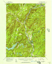 1955 Lake Luzerne1957 Print · USGSThe southern Adirondacks in the mid-1950s show a landscape shaped by the Hudson River and the expanding Sacandaga Reservoir. Genealogists and historians can trace rail stops like Stony Creek Sta, local burials at Harris Cem, and the early layout of Lake Luzerne.4 unique versions available
 - 1956 Map of Glens Falls, 1968 Print
 1956 Glens Falls1968 Print · USGSUpper New York and the Vermont mountains are captured here in the mid-fifties, showing the rugged rail-and-river network of the Northeast. Researchers can trace the paths of the Delaware and Hudson RR and Rutland RR as they wind through valley towns like Poultney and Whitehall.3 unique versions available
 - 1957 Map of Utica
 1957 Utica1957 Print · USGSCentral New York and the Adirondack foothills are captured here in the mid-fifties, showing a landscape defined by the Mohawk River corridor and the growing highway system. Genealogists and researchers can trace the rail lines of the New York Central and locate communities from Lowville to Gloversville.
 - 1959 Map of Glens Falls
 1959 Glens Falls1959 Print · USGSUpper New York and Vermont are captured here during the late 1950s, a period of transition for these mountain communities. Researchers can trace the legacy of the region's river-and-rail economy through landmarks like Lake George, Saratoga Springs, and Killington Peak.2 unique versions available
 - 1962 Map of Utica
 1962 Utica1962 Print · USGSCentral New York and the Adirondack wilderness are captured here during the mid-century era of highway and industrial expansion. Genealogists and historians can trace the development of the New York State Thruway and local rail lines connecting Utica, Rome, and Gloversville.3 unique versions available
 - 1964 Map of Glens Falls
 1964 Glens Falls1964 Print · USGSThe tri-state borderlands of New York, Vermont, and New Hampshire appear here in the mid-1960s. Researchers can trace the rail routes of the Rutland RR and find historic sites like Ticonderoga and Saratoga National Historical Park.
 - 1964 Map of Utica
 1964 Utica1964 Print · USGSCentral New York and the high wilderness of the Adirondacks are captured here during the post-war era of infrastructure expansion. Researchers can trace the development of the New York State Thruway alongside historic corridors like the Oneida Lake (Barge Canal Route) and the N. Y. Central railroad.
 - 1966 Map of Warrensburg, 1969 Print
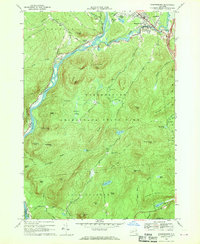 1966 Warrensburg1969 Print · USGSWarrensburg and the Hudson River valley are shown here in the mid-sixties, capturing the area just as the Northway was reshaping local transit. Genealogists and hikers can trace old routes like Old Stage Road or locate landmarks such as the Fish Hatchery and Christ Community Ch.2 unique versions available
 - 1967 Map of Utica
 1967 Utica1967 Print · USGSCentral New York's industrial Mohawk Valley meets the Adirondack wilderness in the 1960s, showing the region's transition from manufacturing hubs to state-managed parklands. Trace historic settlements and sites like Griffiss Air Force Base, Colgate University, and the Lyons Falls Paper Mill.
 - 1968 Map of Stony Creek, 1969 Print
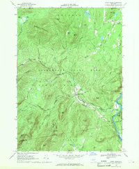 1968 Stony Creek1969 Print · USGSThe southern Adirondack wilderness and the Hudson River corridor meet in the late sixties, showcasing the rugged intersection of mountain life and rail transport. Genealogists and hikers can trace the Delaware and Hudson Railroad or locate local landmarks like Harris Cem and the Lookout Tower on Wells Peak.
 - 1985 Map of Gloversville, 1986 Print
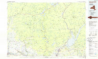 1985 Gloversville1986 Print · USGSThe southern Adirondacks meet the Mohawk Valley industrial corridor during the mid-eighties, showcasing a landscape of high-country lakes and riverside manufacturing towns. Trace the historical alignment of the Erie Canal and Conrail lines or locate landmarks like the Herkimer Home State Historic Site.2 unique versions available
 - 1986 Map of Glens Falls
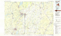 1986 Glens Falls1986 Print · USGSThe Upper Hudson Valley and Vermont borderlands come together in this mid-eighties survey of industrial river towns and mountain retreats. Genealogists and historians can trace the rail lines of the Delaware and Hudson Railway or locate landmarks like the Mount McGregor Correctional Facility and Saratoga Spa State Park.2 unique versions available
 - 1989 Map of Glens Falls
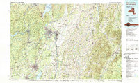 1989 Glens Falls1989 Print · USGSThe Upper Hudson Valley and the Vermont borderlands are captured here during the late eighties, showing a landscape of river-town industry and mountain recreation. Researchers can trace the Champlain Canal, the Delaware and Hudson RR, and historic sites like Saratoga National Historical Park.
 - 1990 Map of Hope Falls
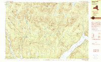 1990 Hope Falls1990 Print · USGSThe Adirondack foothills of Saratoga and Hamilton Counties are shown here during the late twentieth century as the region balanced wilderness and remote settlement. Researchers can trace historic hamlets like Hope Falls and Tennantville or follow the shoreline of Great Sacandaga Lake past West Day.
 - 1990 Map of Harrisburg
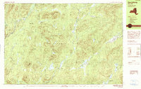 1990 Harrisburg1990 Print · USGSThe Adirondack backcountry near the Warren and Hamilton county lines is shown here in the 1990s as a landscape of isolated hamlets and mountain lakes. Researchers can trace the layout of small settlements like Harrisburg, Griffin, and Bakertown or locate remote water bodies including Wilcox Lake and Lens Lake.
 - 1997 Map of Harrisburg, 2000 Print
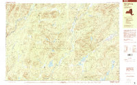 1997 Harrisburg2000 Print · USGSThe Adirondack wilderness of the 1990s is captured here, showcasing the isolated settlements and vast forest preserves of Warren and Hamilton counties. Researchers can trace the quiet outposts of Harrisburg, Bakertown, and Knowelhurst alongside landmarks like Auger Falls and Girards Sugarbush.
 - 1999 Map of Hope Falls, 2000 Print
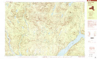 1999 Hope Falls2000 Print · USGSThe southeastern Adirondacks are shown in the late twentieth century as rugged forest preserves meet the shores of Great Sacandaga Lake. Genealogists and researchers can trace local landmarks like Hope Falls, Day Center, and family-named peaks such as Fraker Mountain and Thomas Hill.
 - 2010 Map of Griffin, 2010 Print
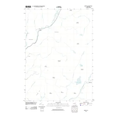 2010 Griffin2010 Print · USGSThe Adirondack wilderness in Warren County is mapped here during the early 21st century, showing a landscape defined by isolated settlements and high peaks. Researchers can locate small communities like Griffin and Bakertown or trace the waters of Wilcox Lake and the East Branch Sacandaga River.
 - 2010 Map of Harrisburg, 2010 Print
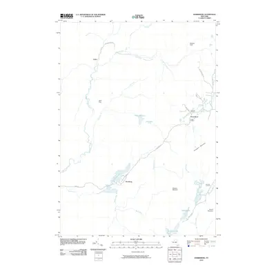 2010 Harrisburg2010 Print · USGSHarrisburg and its surrounding Adirondack peaks appear in this recent survey of Warren County's interior. Genealogists and local researchers can trace family plots at Van Dusen Cemetery or explore the quiet settlements of Knowelhurst and Fullers.
 - 2010 Map of Hope Falls, 2010 Print
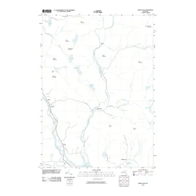 2010 Hope Falls2010 Print · USGSIn the Adirondack foothills during the early twenty-first century, this area shows a landscape of isolated peaks and clear mountain streams. Genealogists and local historians can locate Wadsworth Cemetery, Willard Cemetery, and small settlements like Hope Falls.
Showing maps 1-25 of 47
Top cities near Stony Creek
- Wilton historical maps
- Corinth historical maps
- Mayfield historical maps
- Warrensburg historical maps
- Chester historical maps
- Lake Luzerne historical maps
See more
Top neighborhoods of Stony Creek
Frequently asked questions
- What are the different types of historical maps available for Stony Creek?
- What is the oldest map of Stony Creek?
- Where can I purchase historical maps of Stony Creek for my home or office?
- Where can I download high-res historical maps of Stony Creek?
- Are there historical topographic maps available for Stony Creek?
- Is there historical aerial imagery available for Stony Creek?
- Where are historical maps of Stony Creek sourced from?