Old Maps of Walworth, New York
Explore 27 old maps of Walworth, spanning from 1900 to today. These high-resolution historic maps reveal how streets, neighborhoods, landmarks, and natural features evolved over time — perfect for genealogy, metal detecting, research, and local history exploration.
What you can do with these maps:
- See how Walworth changed over time: Compare historical maps to modern-day views to trace roads, homesites, rail lines & more.
- View detailed metadata: Each map includes creators, publishers, year, scale, and archive source.
- Overlay maps with satellite & LiDAR: Visualize the past alongside modern tools to explore terrain & human change.
- Trusted historical sources: Maps sourced from the USGS, Library of Congress, and other archives.
- Access maps your way: View online, download high-res files, or order prints for personal or research use.
Start exploring old maps of Walworth to uncover forgotten places, hidden landmarks, and the deep history beneath your feet.
Walworth, NY maps
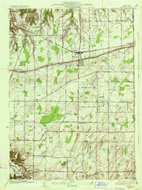
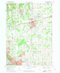
(27)- 1900 Map of Macedon
 1900 Macedon1900 Print · USGSMonroe and Wayne counties thrive at the intersection of water and rail transport at the end of the nineteenth century. Genealogists and historians can trace the original paths of the Erie Canal and locate long-standing settlements like Despatch, Fairport, and Webster.8 unique versions available
 - 1932 Map of Webster
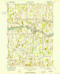
 1932 Webster1932 Print · USGSMonroe County settlements and rural school districts are captured here in the early 1930s. Genealogists can locate specific farm-to-market routes and historic landmarks like Thousand Acre Swamp, West Webster, and the New York Central RR.
 - 1934 Map of Webster
 1934 Webster1934 Print · USGSMonroe County was a landscape of thriving orchards and rural school districts in the early thirties. Genealogists can locate family homesteads near Thousand Acre Swamp or trace the origins of West Webster and Penfield along the Ridge Road State Highway.3 unique versions available
 - 1942 Map of Ontario
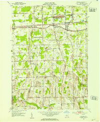
 1942 Ontario1942 Print · USGSWayne County just before the mid-century shows a landscape of busy hamlets and extensive orchards linked by a network of numbered schools. Researchers can trace the New York Central Railroad corridor and locate ancestral sites like Dixon Cem and Fruitland.
 - 1951 Map of Macedon, 1952 Print
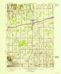
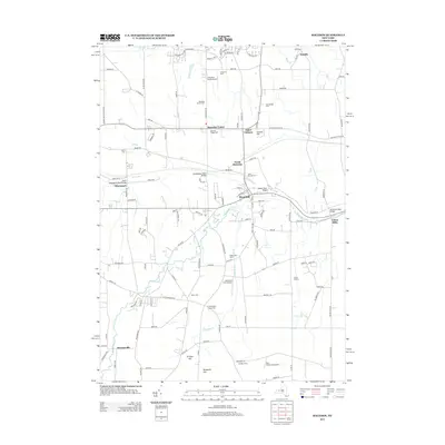
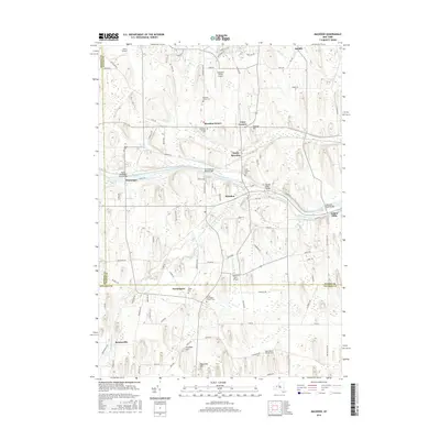
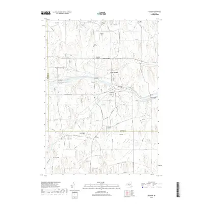
 1951 Macedon1952 Print · USGSWayne County and northern Ontario County appear here in the early fifties, caught between their historic canal-era roots and mid-century growth. Researchers can trace the lineage of local hamlets and rural districts through landmarks like Yellow Mills, Walworth Station, and Farmington (Pumpkin Hook).4 unique versions available
 - 1952 Map of Ontario, 1953 Print
 1952 Ontario1953 Print · USGSWayne County hamlets and drumlin landscapes are captured here in the early fifties, just as the region's agricultural character began to meet modern development. Researchers can trace historic family landmarks from Union Hill to Walworth, including Kuttruff Hill and the New York Central rail line.3 unique versions available
 - 1952 Map of Webster, 1964 Print
 1952 Webster1964 Print · USGSMonroe County enters a period of post-war growth as early hamlets and rural school districts begin to transition into modern suburbs. Genealogists and local historians can trace family locations near Oakwood Cem, the East Penfield Church, or the unique terrain of Thousand Acre Swamp.3 unique versions available
 - 1960 Map of Rochester
 1960 Rochester1960 Print · USGSThe Lake Ontario shoreline in the late fifties was a bustling corridor of rail and water commerce. Genealogists and historians can trace the path of the New York Central through canal towns like Newark or explore the coastal landmarks around Sackets Harbor.2 unique versions available
 - 1961 Map of Rochester, 1973 Print
 1961 Rochester1973 Print · USGSThe Lake Ontario shoreline and Finger Lakes frontier are shown here at the height of the mid-century infrastructure boom. Genealogists and historians can trace the rail-and-road evolution from Sackets Harbor down to the New York State Thruway, passing through centers like Pulaski and Adams Center.3 unique versions available
 - 1965 Map of Rochester
 1965 Rochester1965 Print · USGSUpstate New York's industrial heartland is captured here during a period of significant growth between the Great Lakes and the Finger Lakes. Genealogists and historians can trace the evolution of canal towns and rail hubs from Rochester to Syracuse, noting features like the Erie Canal and the New York State Thruway.
 - 1971 Map of Webster, 1974 Print
 1971 Webster1974 Print · USGSMonroe County enters a decade of growth in the early seventies as the suburban landscape expands around Webster and Penfield. Researchers can trace local heritage through numerous historic sites, including Webster Rural Cem, Oakwood Cem, and the Penn Central rail lines.3 unique versions available
 - 1984 Map of Rochester
 1984 Rochester1984 Print · USGSThe Rochester lakefront and Genesee Valley are shown here in the mid-eighties as suburban growth reached historic canal towns and rural outposts. Genealogists can locate family landmarks like Mud Mills, the Angel Moroni Monument, and Lake View Cemetery.2 unique versions available
 - 2010 Map of Webster, 2010 Print
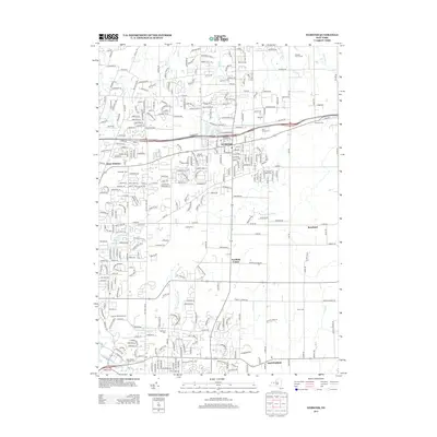
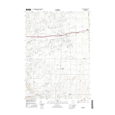
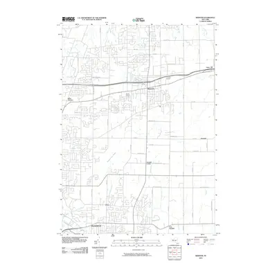 2010 Webster2010 Print · USGSCovers Walworth, including Webster, Penfield, and other nearby areas
 - 2010 Map of Macedon, 2010 Print
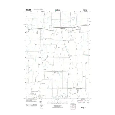
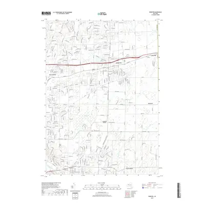
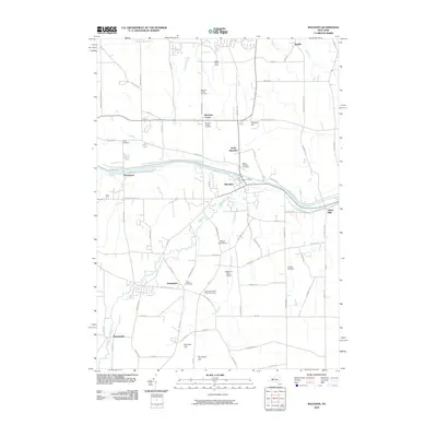 2010 Macedon2010 Print · USGSCovers Walworth, including Perinton, Penfield, and other nearby areas
 - 2010 Map of Ontario, 2010 Print
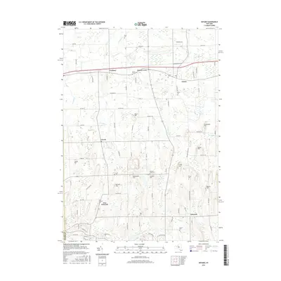
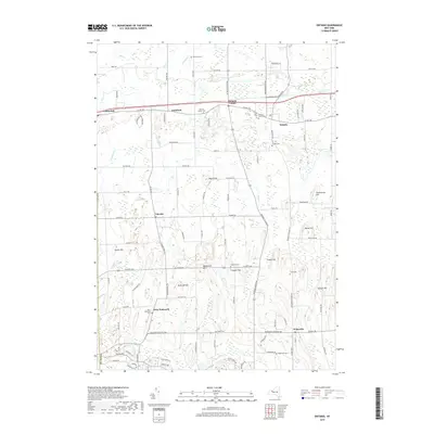
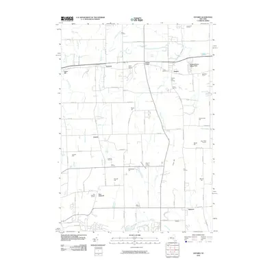 2010 Ontario2010 Print · USGSCovers Walworth, including Penfield, Ontario, and other nearby areas
 - 2013 Map of Macedon, 2013 Print
 2013 Macedon2013 Print · USGSCovers Walworth, including Perinton, Penfield, and other nearby areas
 - 2013 Map of Webster, 2013 Print
 2013 Webster2013 Print · USGSCovers Walworth, including Webster, Penfield, and other nearby areas
 - 2013 Map of Ontario, 2013 Print
 2013 Ontario2013 Print · USGSCovers Walworth, including Penfield, Ontario, and other nearby areas
 - 2016 Map of Ontario, 2016 Print
 2016 Ontario2016 Print · USGSCovers Walworth, including Penfield, Ontario, and other nearby areas
 - 2016 Map of Macedon, 2016 Print
 2016 Macedon2016 Print · USGSCovers Walworth, including Perinton, Penfield, and other nearby areas
 - 2016 Map of Webster, 2016 Print
 2016 Webster2016 Print · USGSCovers Walworth, including Webster, Penfield, and other nearby areas
 - 2019 Map of Macedon, 2019 Print
 2019 Macedon2019 Print · USGSCovers Walworth, including Perinton, Penfield, and other nearby areas
 - 2019 Map of Webster, 2019 Print
 2019 Webster2019 Print · USGSCovers Walworth, including Webster, Penfield, and other nearby areas
 - 2019 Map of Ontario, 2019 Print
 2019 Ontario2019 Print · USGSCovers Walworth, including Penfield, Ontario, and other nearby areas
 - 2023 Map of Macedon, 2023 Print
 2023 Macedon2023 Print · USGSWayne County’s canal corridor is documented here in the early twenty-first century, showing the enduring influence of the Erie Canal on local geography. Genealogists and historians can locate legacy sites like the Union Burying Ground, Yellow Mills, and the North Farmington Friends Cem.
Showing maps 1-25 of 27
Top cities near Walworth
- Rochester historical maps
- Irondequoit historical maps
- Perinton historical maps
- Webster historical maps
- Penfield historical maps
- Brighton historical maps
See more
Top neighborhoods of Walworth
Frequently asked questions
- What are the different types of historical maps available for Walworth?
- What is the oldest map of Walworth?
- Where can I purchase historical maps of Walworth for my home or office?
- Where can I download high-res historical maps of Walworth?
- Are there historical topographic maps available for Walworth?
- Is there historical aerial imagery available for Walworth?
- Where are historical maps of Walworth sourced from?