2000s (21st Century) Maps of Torrey, New York
Explore 15 historic maps of Torrey from the 2000s (21st Century). These maps offer a rare glimpse into what life looked like during the 2000s — showing old roads, neighborhoods, homes, and landmarks that have changed or disappeared over time.
Whether you're researching your family's past, planning a metal detecting trip, or studying how Torrey's landscape evolved across the 2000s, these high-resolution maps are a powerful tool for exploring the history of this region.
- Focus on a specific era: All maps on this page are from the 2000s, giving you a focused view of this time period.
- See what’s changed: Compare century-old streets, trails, and buildings to today's modern landscape using overlays and satellite layers.
- Research with precision: Use these maps for genealogy, historical research, land use analysis, or educational projects.
- View, download, or print: Maps are fully viewable online in high resolution, and can be downloaded or printed for your own records.
Start exploring Torrey's history through authentic maps from the 2000s. This is your window into the past.
Torrey, NY maps
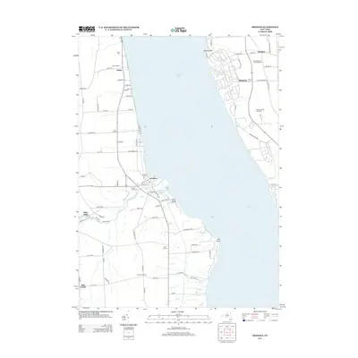
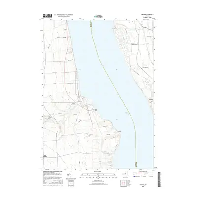
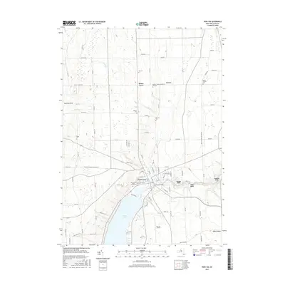
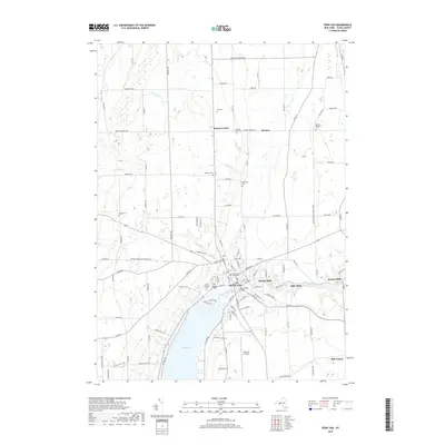
(15)- 2010 Map of Dresden, 2010 Print
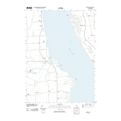 2010 Dresden2010 Print · USGSCovers Torrey, including Milo, Romulus, and other nearby areas
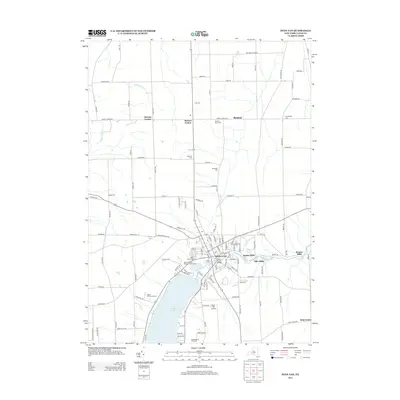
 - 2010 Map of Penn Yan, 2010 Print
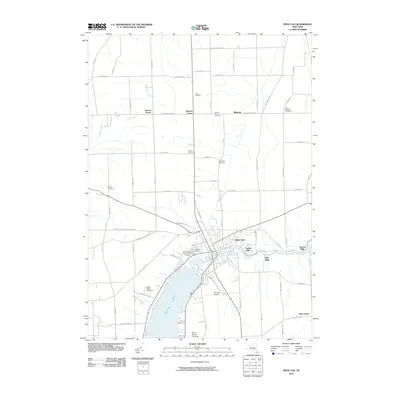 2010 Penn Yan2010 Print · USGSCovers Torrey, including Milo, Penn Yan, and other nearby areas
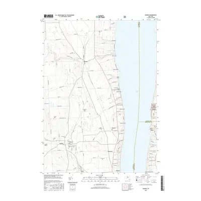
 - 2010 Map of Dundee, 2010 Print
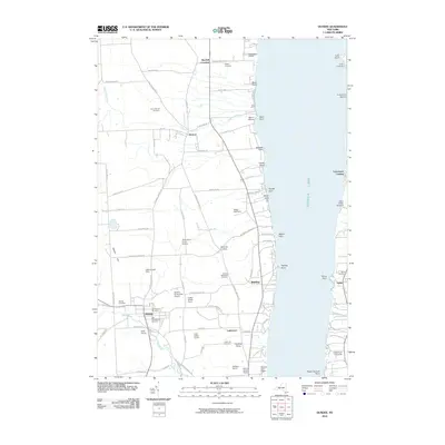 2010 Dundee2010 Print · USGSCovers Torrey, including Milo, Hector, and other nearby areas
 - 2013 Map of Dundee, 2013 Print
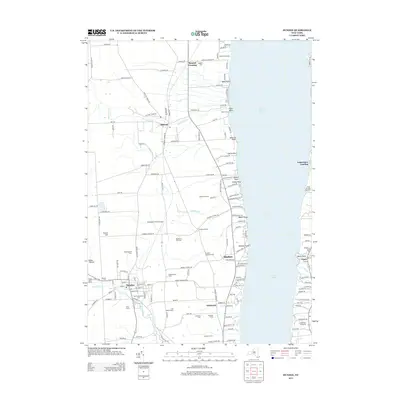 2013 Dundee2013 Print · USGSCovers Torrey, including Milo, Hector, and other nearby areas
 - 2013 Map of Dresden, 2013 Print
 2013 Dresden2013 Print · USGSCovers Torrey, including Milo, Romulus, and other nearby areas
 - 2013 Map of Penn Yan, 2013 Print
 2013 Penn Yan2013 Print · USGSCovers Torrey, including Milo, Penn Yan, and other nearby areas
 - 2016 Map of Dresden, 2016 Print
 2016 Dresden2016 Print · USGSCovers Torrey, including Milo, Romulus, and other nearby areas
 - 2016 Map of Dundee, 2016 Print
 2016 Dundee2016 Print · USGSCovers Torrey, including Milo, Hector, and other nearby areas
 - 2016 Map of Penn Yan, 2016 Print
 2016 Penn Yan2016 Print · USGSCovers Torrey, including Milo, Penn Yan, and other nearby areas
 - 2019 Map of Penn Yan, 2019 Print
 2019 Penn Yan2019 Print · USGSCovers Torrey, including Milo, Penn Yan, and other nearby areas
 - 2019 Map of Dundee, 2019 Print
 2019 Dundee2019 Print · USGSCovers Torrey, including Milo, Hector, and other nearby areas
 - 2019 Map of Dresden, 2019 Print
 2019 Dresden2019 Print · USGSCovers Torrey, including Milo, Romulus, and other nearby areas
 - 2023 Map of Dresden, 2023 Print
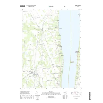
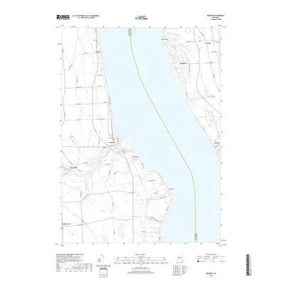
 2023 Dresden2023 Print · USGSThe shores of Seneca Lake and the villages of Dresden and Willard appear in this contemporary survey. Researchers can trace land use from Sampson State Park to the Seneca Army Depot and locate old burial sites like Angus Cem.
 - 2023 Map of Penn Yan, 2023 Print
 2023 Penn Yan2023 Print · USGSYates County at the northern tip of Keuka Lake is shown in this modern survey, highlighting its deep-rooted milling and agricultural history. Genealogists can trace family burial sites at Lakeview Cem or Benton Rural Cem and locate historic hubs like Milo Mills.
 - 2023 Map of Dundee, 2023 Print
 2023 Dundee2023 Print · USGSThe western shores of Seneca Lake are documented here in the early 2020s, showing the settled landscape between the Finger Lakes and the National Forest. Genealogists can locate several historic burial grounds including Dundee Presbyterian Cem and Raplee Cem near the village of Dundee.
End of results
Showing maps 1-15 of 15
Top cities near Torrey
- Geneva historical maps
- Seneca Falls historical maps
- Waterloo historical maps
- Seneca Falls historical maps
- Milo historical maps
- Phelps historical maps
See more
Top neighborhoods of Torrey
Frequently asked questions
- What are the different types of historical maps available for Torrey?
- What is the oldest map of Torrey?
- Where can I purchase historical maps of Torrey for my home or office?
- Where can I download high-res historical maps of Torrey?
- Are there historical topographic maps available for Torrey?
- Is there historical aerial imagery available for Torrey?
- Where are historical maps of Torrey sourced from?