2000s (21st Century) Maps of Green Level, North Carolina
Explore 10 historic maps of Green Level from the 2000s (21st Century). These maps offer a rare glimpse into what life looked like during the 2000s — showing old roads, neighborhoods, homes, and landmarks that have changed or disappeared over time.
Whether you're researching your family's past, planning a metal detecting trip, or studying how Green Level's landscape evolved across the 2000s, these high-resolution maps are a powerful tool for exploring the history of this region.
- Focus on a specific era: All maps on this page are from the 2000s, giving you a focused view of this time period.
- See what’s changed: Compare century-old streets, trails, and buildings to today's modern landscape using overlays and satellite layers.
- Research with precision: Use these maps for genealogy, historical research, land use analysis, or educational projects.
- View, download, or print: Maps are fully viewable online in high resolution, and can be downloaded or printed for your own records.
Start exploring Green Level's history through authentic maps from the 2000s. This is your window into the past.
Green Level, NC maps
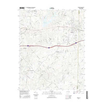
(10)- 2010 Map of Mebane, 2010 Print
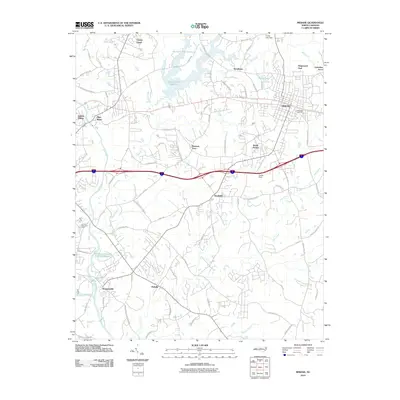 2010 Mebane2010 Print · USGSCovers Green Level, including Burlington, Mebane, and other nearby areas
 - 2011 Map of Burlington NE, 2011 Print
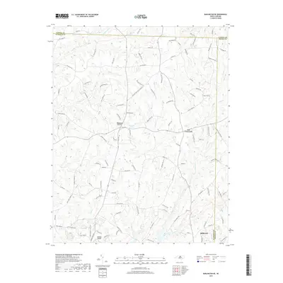
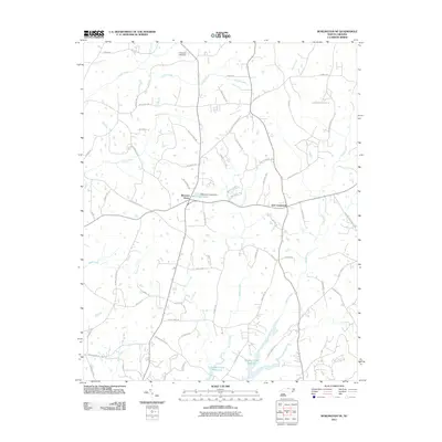 2011 Burlington NE2011 Print · USGSCovers Green Level, including Mebane, Just Crossroads, and other nearby areas
 - 2013 Map of Mebane, 2013 Print
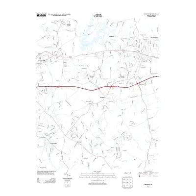 2013 Mebane2013 Print · USGSCovers Green Level, including Burlington, Mebane, and other nearby areas
 - 2013 Map of Burlington NE, 2013 Print
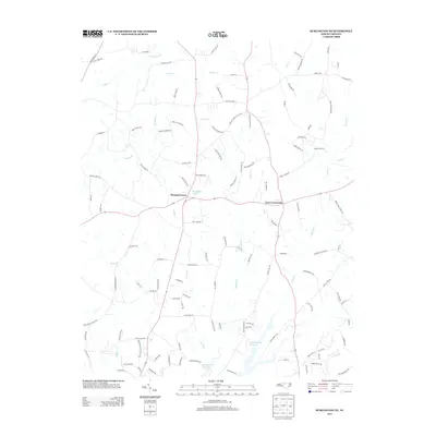 2013 Burlington NE2013 Print · USGSCovers Green Level, including Mebane, Just Crossroads, and other nearby areas
 - 2016 Map of Mebane, 2016 Print
 2016 Mebane2016 Print · USGSCovers Green Level, including Burlington, Mebane, and other nearby areas
 - 2016 Map of Burlington NE, 2016 Print
 2016 Burlington NE2016 Print · USGSCovers Green Level, including Mebane, Just Crossroads, and other nearby areas
 - 2019 Map of Mebane, 2019 Print
 2019 Mebane2019 Print · USGSCovers Green Level, including Burlington, Mebane, and other nearby areas
 - 2019 Map of Burlington NE, 2019 Print
 2019 Burlington NE2019 Print · USGSCovers Green Level, including Mebane, Just Crossroads, and other nearby areas
 - 2022 Map of Mebane, 2022 Print
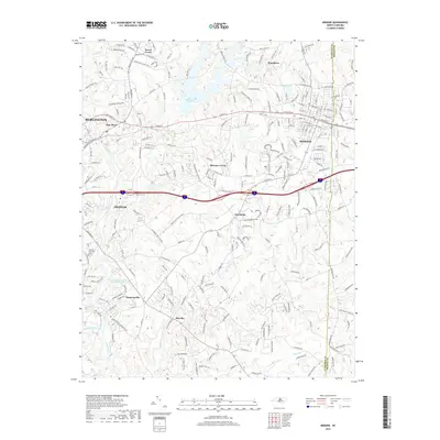
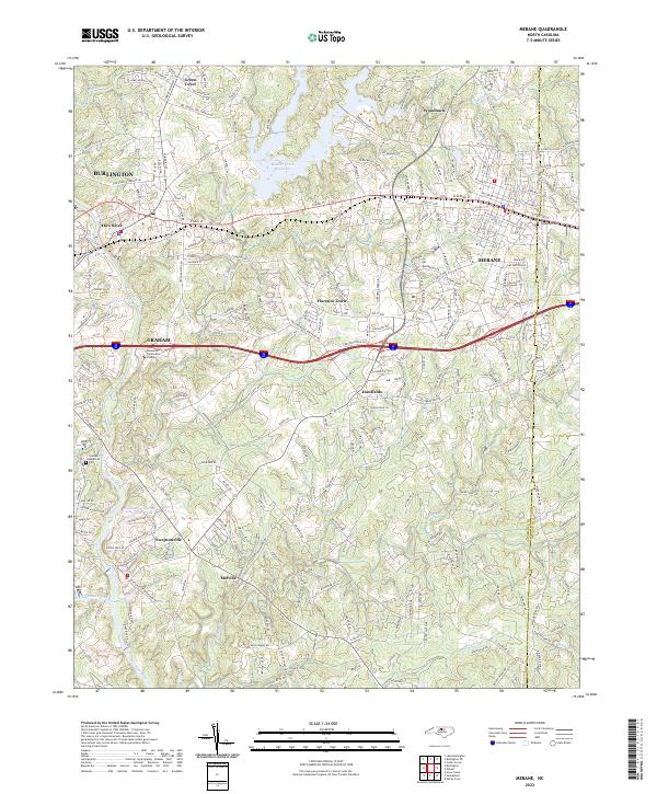 2022 Mebane2022 Print · USGSMebane and the Haw River corridor are shown in great detail during this recent era of North Carolina Piedmont growth. Researchers can trace the boundaries of Hawfields, locate Oakwood Cem, or find local landmarks like Swepsonville Baptist Ch.
 - 2022 Map of Burlington NE, 2022 Print
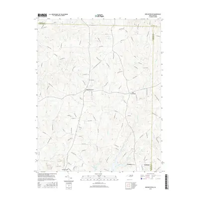
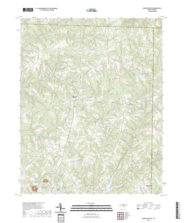 2022 Burlington NE2022 Print · USGSThis Alamance County landscape shows the rural evolution of central North Carolina as it appeared in the early 2020s. Genealogists and local historians can trace family land near Pleasant Grove, Just Crossroads, and the many branches of Quaker Creek.
End of results
Showing maps 1-10 of 10
Top cities near Green Level
- Burlington historical maps
- Carrboro historical maps
- Mebane historical maps
- Graham historical maps
- Gibsonville historical maps
- Elon historical maps
See more
Frequently asked questions
- What are the different types of historical maps available for Green Level?
- What is the oldest map of Green Level?
- Where can I purchase historical maps of Green Level for my home or office?
- Where can I download high-res historical maps of Green Level?
- Are there historical topographic maps available for Green Level?
- Is there historical aerial imagery available for Green Level?
- Where are historical maps of Green Level sourced from?