Old Maps of Alamance County, North Carolina
Explore 25 old maps of Alamance County, spanning from 1953 to today. These high-resolution historic maps reveal how streets, neighborhoods, landmarks, and natural features evolved over time — perfect for genealogy, metal detecting, research, and local history exploration.
What you can do with these maps:
- See how Alamance County changed over time: Compare historical maps to modern-day views to trace roads, homesites, rail lines & more.
- View detailed metadata: Each map includes creators, publishers, year, scale, and archive source.
- Overlay maps with satellite & LiDAR: Visualize the past alongside modern tools to explore terrain & human change.
- Trusted historical sources: Maps sourced from the USGS, Library of Congress, and other archives.
- Access maps your way: View online, download high-res files, or order prints for personal or research use.
Start exploring old maps of Alamance County to uncover forgotten places, hidden landmarks, and the deep history beneath your feet.
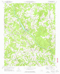
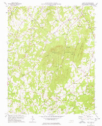
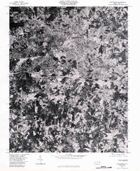
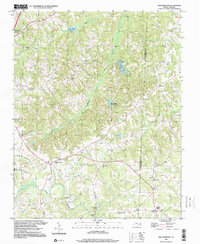
Alamance County, NC maps
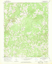
(25)- 1953 Map of Raleigh, 1965 Print
 1953 Raleigh1965 Print · USGSCovers Alamance County, including Raleigh, Greensboro, and other nearby areas4 unique versions available
 - 1953 Map of Greensboro, 1981 Print
 1953 Greensboro1981 Print · USGSCovers Alamance County, including Greensboro, Durham, and other nearby areas
 - 1954 Map of Greensboro
 1954 Greensboro1954 Print · USGSCovers Alamance County, including Greensboro, Durham, and other nearby areas
 - 1954 Map of Raleigh
 1954 Raleigh1954 Print · USGSCovers Alamance County, including Raleigh, Greensboro, and other nearby areas
 - 1962 Map of Greensboro
 1962 Greensboro1962 Print · USGSCovers Alamance County, including Greensboro, Durham, and other nearby areas
 - 1966 Map of Greensboro
 1966 Greensboro1966 Print · USGSCovers Alamance County, including Greensboro, Durham, and other nearby areas
 - 1968 Map of White Cross, 1969 Print
 1968 White Cross1969 Print · USGSCovers Alamance County, including Orange Grove, Teer, and other nearby areas2 unique versions available
 - 1968 Map of Bynum, 1970 Print
 1968 Bynum1970 Print · USGSCovers Alamance County, including Pittsboro, Bynum, and other nearby areas
 - 1969 Map of Burlington, 1972 Print
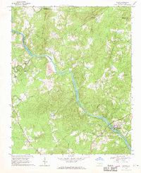
 1969 Burlington1972 Print · USGSCovers Alamance County, including Burlington, Graham, and other nearby areas2 unique versions available
 - 1969 Map of Mebane, 1972 Print
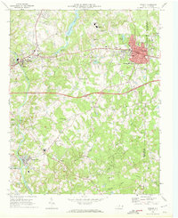 1969 Mebane1972 Print · USGSCovers Alamance County, including Burlington, Mebane, and other nearby areas2 unique versions available
 - 1969 Map of Lake Burlington, 1972 Print
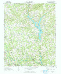 1969 Lake Burlington1972 Print · USGSCovers Alamance County, including Burlington, Elon, and other nearby areas2 unique versions available
 - 1969 Map of Burlington NE, 1972 Print
 1969 Burlington NE1972 Print · USGSCovers Alamance County, including Mebane, Green Level, and other nearby areas2 unique versions available
 - 1970 Map of Gibsonville, 1973 Print
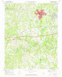 1970 Gibsonville1973 Print · USGSCovers Alamance County, including Greensboro, Burlington, and other nearby areas2 unique versions available
 - 1970 Map of Kimesville, 1973 Print
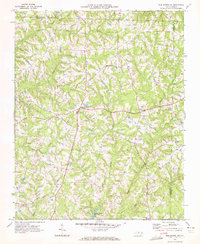
 1970 Kimesville1973 Print · USGSCovers Alamance County, including Liberty, Kimesville, and other nearby areas2 unique versions available
 - 1970 Map of Ossipee, 1973 Print
 1970 Ossipee1973 Print · USGSCovers Alamance County, including Gibsonville, Elon, and other nearby areas
 - 1972 Map of Williamsburg, 1974 Print
 1972 Williamsburg1974 Print · USGSCovers Alamance County, including Reidsville, Williamsburg, and other nearby areas
 - 1974 Map of Silk Hope, 1976 Print
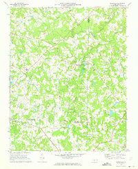
 1974 Silk Hope1976 Print · USGSCovers Alamance County, including Silk Hope, Mandale, and other nearby areas
 - 1974 Map of Crutchfield Crossroads, 1976 Print
 1974 Crutchfield Crossroads1976 Print · USGSCovers Alamance County, including Siler City, Pleasant Hill, and other nearby areas2 unique versions available
 - 1974 Map of Liberty, 1977 Print
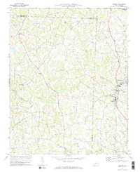
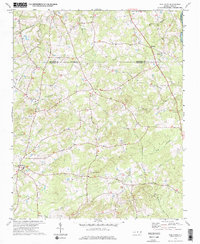
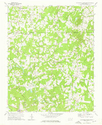
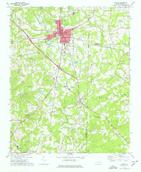 1974 Liberty1977 Print · USGSCovers Alamance County, including Liberty, Staley, and other nearby areas
 - 1977 Map of Saxapahaw
 1977 Saxapahaw1977 Print · USGSCovers Alamance County, including Saxapahaw, Oaks, and other nearby areas2 unique versions available
 - 1978 Map of Snow Camp
 1978 Snow Camp1978 Print · USGSCovers Alamance County, including Snow Camp, Rock Creek, and other nearby areas
 - 1980 Map of Burlington, 1983 Print
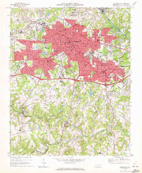
 1980 Burlington1983 Print · USGSCovers Alamance County, including Burlington, Graham, and other nearby areas
 - 1984 Map of Greensboro
 1984 Greensboro1984 Print · USGSCovers Alamance County, including Greensboro, High Point, and other nearby areas
 - 1984 Map of Chapel Hill, 1985 Print
 1984 Chapel Hill1985 Print · USGSCovers Alamance County, including Greensboro, Durham, and other nearby areas
 - 1997 Map of Williamsburg, 2000 Print
 1997 Williamsburg2000 Print · USGSCovers Alamance County, including Reidsville, Williamsburg, and other nearby areas
End of results
Showing maps 1-25 of 25
Top cities of Alamance County
- Burlington historical maps
- Graham historical maps
- Elon historical maps
- Green Level historical maps
- Haw River historical maps
- Saxapahaw historical maps
See more
Frequently asked questions
- What are the different types of historical maps available for Alamance County?
- What is the oldest map of Alamance County?
- Where can I purchase historical maps of Alamance County for my home or office?
- Where can I download high-res historical maps of Alamance County?
- Are there historical topographic maps available for Alamance County?
- Is there historical aerial imagery available for Alamance County?
- Where are historical maps of Alamance County sourced from?