Old Maps of Schoolhouse Landing, North Carolina for Genealogy
Trace your family roots with 10 historic maps of Schoolhouse Landing. These high-res maps reveal old neighborhoods, homesites, landmarks, and streets — helping you uncover where your ancestors lived and how the area evolved over time.
- Explore historic neighborhoods: Identify where your relatives may have lived in the 1800s or 1900s.
- Compare maps over time: Trace the changes in streets, buildings, and landmarks for multi-generational research.
- Perfect for genealogy & ancestry research: Used by family historians and researchers to map out lineage and migration.
These maps are an incredible resource for exploring your personal connection to Schoolhouse Landing's past.
Schoolhouse Landing, NC maps
(10)- 1951 Map of Pamlico Beach, 1953 Print
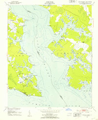 1951 Pamlico Beach1953 Print · USGSThe Pungo and Pamlico Rivers meet in this early 1950s coastal survey, revealing a landscape of tide-water guts and isolated fishing villages. Researchers can trace family roots in Makleyville or Pamlico Beach and locate landmarks like St Mahala Chapel and Schoolhouse Landing.2 unique versions available
 - 1953 Map of Rocky Mount, 1964 Print
 1953 Rocky Mount1964 Print · USGSEastern North Carolina in the mid-fifties is defined by its deep river basins and the vast wetlands of the Tidewater. Genealogists can trace family roots through hubs like Kinston and New Bern or explore the wilderness of Pettigrew State Park and Lake Mattamuskeet.4 unique versions available
 - 1954 Map of Rocky Mount
 1954 Rocky Mount1954 Print · USGSEastern North Carolina is mapped in the mid-fifties, showing a landscape of sounds, swamps, and steam-era rail lines. Genealogists can trace the rural road networks and rail spurs connecting towns like Tarboro, Greenville, and the remote Columbia.
 - 1985 Map of Bayboro, 1990 Print
 1985 Bayboro1990 Print · USGSCoastal Pamlico and Beaufort counties are shown in the mid-eighties as a maritime landscape of protected wetlands and river-mouth settlements. Researchers can trace the layout of waterfront towns like Oriental, Bayboro, and the historic village of Bath amidst the Pamlico Sound.
 - 2002 Map of Pamlico Beach
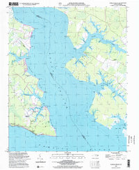 2002 Pamlico Beach2002 Print · USGSThe Inner Banks of Hyde and Beaufort counties come into focus here, where the Pungo River meets the sound. Trace the locations of coastal settlements and landmarks like Pamlico Beach, Makleyville, and the historic Pamlico Chapel.
 - 2010 Map of Pamlico Beach, 2010 Print
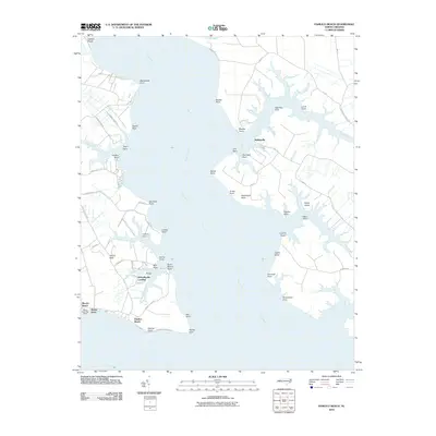 2010 Pamlico Beach2010 Print · USGSCovers Schoolhouse Landing, including Moores Beach, Makleyville, and other nearby areas
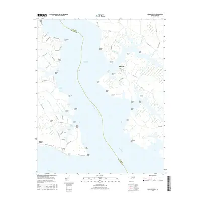
 - 2013 Map of Pamlico Beach, 2013 Print
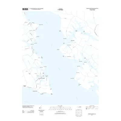 2013 Pamlico Beach2013 Print · USGSCovers Schoolhouse Landing, including Moores Beach, Makleyville, and other nearby areas
 - 2016 Map of Pamlico Beach, 2016 Print
 2016 Pamlico Beach2016 Print · USGSCovers Schoolhouse Landing, including Moores Beach, Makleyville, and other nearby areas
 - 2019 Map of Pamlico Beach, 2019 Print
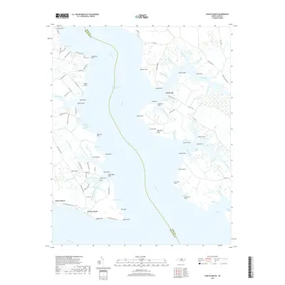 2019 Pamlico Beach2019 Print · USGSCovers Schoolhouse Landing, including Moores Beach, Makleyville, and other nearby areas
 - 2022 Map of Pamlico Beach, 2022 Print
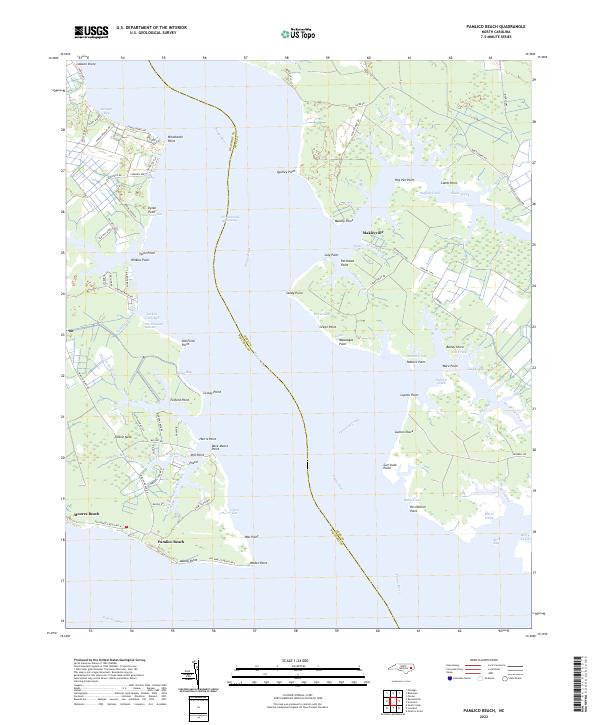 2022 Pamlico Beach2022 Print · USGSCoastal life in Hyde and Beaufort Counties is defined by the deep waters of the Pungo River and the marshes of the sound. This map allows you to trace the shoreline from Makleyville to Pamlico Beach, locating landmarks like One Thousand Marshes and Tarkiln Neck.
End of results
Showing maps 1-10 of 10
Top cities near Schoolhouse Landing
- Belhaven historical maps
- Aurora historical maps
- Vandemere historical maps
- Bath historical maps
- Mesic historical maps
- Pantego historical maps
Frequently asked questions
- What are the different types of historical maps available for Schoolhouse Landing?
- What is the oldest map of Schoolhouse Landing?
- Where can I purchase historical maps of Schoolhouse Landing for my home or office?
- Where can I download high-res historical maps of Schoolhouse Landing?
- Are there historical topographic maps available for Schoolhouse Landing?
- Is there historical aerial imagery available for Schoolhouse Landing?
- Where are historical maps of Schoolhouse Landing sourced from?