Old Maps of Rosemead, North Carolina for Academic Research
Study the evolution of Rosemead with 9 high-resolution historic maps. Whether you're teaching, researching, or modeling changes in land use, these maps provide essential visual documentation of urban, environmental, and geographic change.
- Analyze long-term change: Track patterns in development, transportation, and natural features.
- Ideal for environmental or urban studies: Support academic projects with primary historical map data.
- Use in the classroom or lab: Educators and researchers rely on these maps to bring historical context to life.
These maps are a powerful tool for teaching, research, and visualizing how Rosemead has changed over the decades.
Rosemead, NC maps
(9)- 1953 Map of Norfolk, 1954 Print
 1953 Norfolk1954 Print · USGSCoastal Virginia and northeastern North Carolina appear here during the post-war industrial boom, showing the critical rail-and-sea connections of Hampton Roads. Genealogists can trace family roots through rural landmarks like Gethsemane Ch, the Caledonia State Prison Farm, and the vast interior of the Dismal Swamp.4 unique versions available
 - 1982 Map of Colerain
 1982 Colerain1982 Print · USGSBertie County farmland and riverfront meet the Chowan River in the early eighties. Researchers can trace rural lineages through numerous country churches like Mars Hill Ch and crossroads settlements such as Wakelon, Trap, and Glovers Crossroads.
 - 1985 Map of Elizabeth City
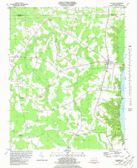
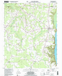
 1985 Elizabeth City1985 Print · USGSCoastal North Carolina's rivers and sounds define the landscape of the mid-eighties, from the vast swamps to the historical waterfronts of Elizabeth City and Edenton. Researchers can trace the rail lines of the Southern Ry or locate landmarks like Beaver Hill Cem and South Mills.2 unique versions available
 - 2000 Map of Colerain, 2002 Print
 2000 Colerain2002 Print · USGSBertie County's riverfront and swamp-bordered farmsteads are documented here at the turn of the twenty-first century. Genealogists can locate family landmarks from Colerain to Whites Crossroads, including New Holly Grove Ch and Hillcrest Cem.
 - 2010 Map of Colerain, 2010 Print
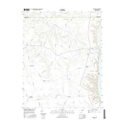
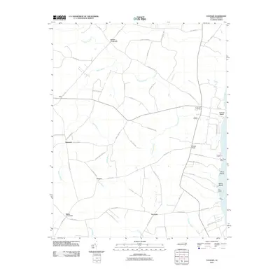 2010 Colerain2010 Print · USGSCovers Rosemead, including Colerain, Trap, and other nearby areas
 - 2013 Map of Colerain, 2013 Print
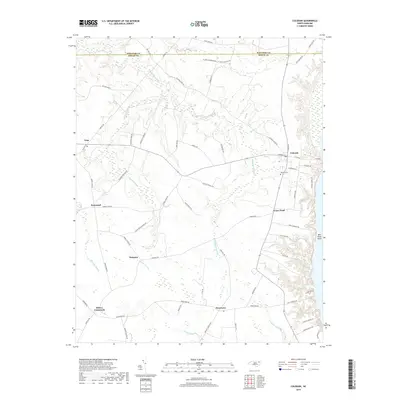
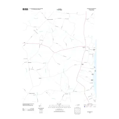 2013 Colerain2013 Print · USGSCovers Rosemead, including Colerain, Trap, and other nearby areas
 - 2016 Map of Colerain, 2016 Print
 2016 Colerain2016 Print · USGSCovers Rosemead, including Colerain, Trap, and other nearby areas
 - 2019 Map of Colerain, 2019 Print
 2019 Colerain2019 Print · USGSCovers Rosemead, including Colerain, Trap, and other nearby areas
 - 2022 Map of Colerain, 2022 Print
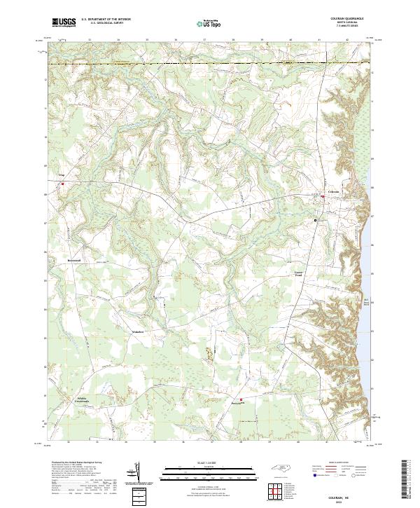 2022 Colerain2022 Print · USGSBertie County's coastal plain and swamp-heavy interior are shown here in the 2020s. Genealogists and historians can locate rural crossroads like Trap and Whites Crossroads alongside notable landmarks like Hillcrest Cem and Goose Pond.
End of results
Showing maps 1-9 of 9
Top cities near Rosemead
- Edenton historical maps
- Ahoskie historical maps
- Windsor historical maps
- Winton historical maps
- Arrowhead Beach historical maps
- Cofield historical maps
See more
Frequently asked questions
- What are the different types of historical maps available for Rosemead?
- What is the oldest map of Rosemead?
- Where can I purchase historical maps of Rosemead for my home or office?
- Where can I download high-res historical maps of Rosemead?
- Are there historical topographic maps available for Rosemead?
- Is there historical aerial imagery available for Rosemead?
- Where are historical maps of Rosemead sourced from?