Old Maps of Ash, North Carolina for Hiking & Exploration
Hike through history with 11 historic maps of Ash. Explore old trails, ghost towns, and forgotten backroads — perfect for outdoor adventurers and local explorers.
- Rediscover forgotten places: Map out old mining camps, roads, and footpaths that no longer exist on modern maps.
- Layer with modern tools: Combine with LiDAR or satellite views to plan hikes through historical terrain.
- Made for exploration: Popular among hikers, overlanders, and local history lovers.
Use these maps to find adventure and explore the hidden past of Ash.
Ash, NC maps
(11)- 1943 Map of Freeland, 1962 Print
 1943 Freeland1962 Print · USGSCoastal North Carolina during the mid-century is captured here as a landscape of dense swamps and winding river systems. Genealogists can locate family landmarks such as the Smith Cem, Soldier Bay Ch, and small settlements like Regan and Reeves.
 - 1953 Map of Florence, 1964 Print
 1953 Florence1964 Print · USGSThe Carolina borderlands in the mid-fifties were a landscape of vast river swamps and rising rail towns. Trace the legacy of the Seaboard Air Line through Florence or explore the wetlands surrounding Lake Waccamaw and the Green Swamp.3 unique versions available
 - 1954 Map of Florence
 1954 Florence1954 Print · USGSThe Carolinas borderlands come alive in the early fifties, showing the vital rail-and-river networks of the coastal plain. Genealogists can trace family footprints across the Green Swamp or through settlements like Red Springs, Chadbourn, and McColl.
 - 1986 Map of Whiteville
 1986 Whiteville1986 Print · USGSSoutheastern North Carolina and the South Carolina borderlands are captured here in the mid-1980s as a landscape of vast swamps and rail towns. Researchers can trace historic rail routes through Chadbourn, locate the namesake Lake Waccamaw, and explore family-named sites like Peacocks.
 - 1990 Map of Whiteville
 1990 Whiteville1990 Print · USGSSoutheastern North Carolina and the South Carolina borderlands appear in the late twentieth century, showing a landscape of river-swamps and tobacco towns. Researchers can trace family history through sites like Mount Olive Ch, the Seaboard Coast Line RR, and rural centers like Tabor City.
 - 1990 Map of Freeland, 1991 Print
 1990 Freeland1991 Print · USGSCoastal plains and dense riverine wetlands dominate this Brunswick and Columbus County borderland during the late twentieth century. Researchers can trace family roots through numerous local landmarks like Regan-Stanley Cem, Mt Zion Ch, and the settlement of New Britton.
 - 2010 Map of Freeland, 2010 Print
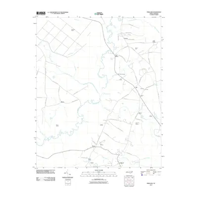 2010 Freeland2010 Print · USGSCovers Ash, including Freeland, Reeves, and other nearby areas
 - 2013 Map of Freeland, 2013 Print
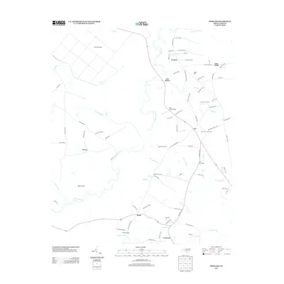 2013 Freeland2013 Print · USGSCovers Ash, including Freeland, Reeves, and other nearby areas
 - 2016 Map of Freeland, 2016 Print
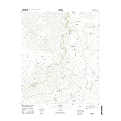 2016 Freeland2016 Print · USGSCovers Ash, including Freeland, Reeves, and other nearby areas
 - 2019 Map of Freeland, 2019 Print
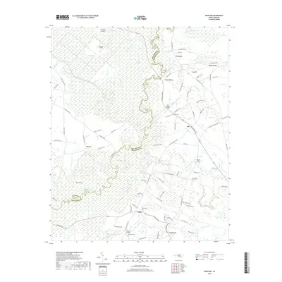 2019 Freeland2019 Print · USGSCovers Ash, including Freeland, Reeves, and other nearby areas
 - 2022 Map of Freeland, 2022 Print
 2022 Freeland2022 Print · USGSCoastal Brunswick County in the early 2020s remains a landscape of intricate wetlands and scattered rural outposts along the Waccamaw. Local historians can trace family ties through numerous small burial sites like Azor James Smith Cem and Ward Cem near the Regan and Ash communities.
End of results
Showing maps 1-11 of 11
Top cities near Ash
- North Myrtle Beach historical maps
- Whiteville historical maps
- Sunset Beach historical maps
- Carolina Shores historical maps
- Shallotte historical maps
- Lake Waccamaw historical maps
See more
Frequently asked questions
- What are the different types of historical maps available for Ash?
- What is the oldest map of Ash?
- Where can I purchase historical maps of Ash for my home or office?
- Where can I download high-res historical maps of Ash?
- Are there historical topographic maps available for Ash?
- Is there historical aerial imagery available for Ash?
- Where are historical maps of Ash sourced from?