2000s (21st Century) Maps of Sunset Beach, North Carolina
Explore 20 historic maps of Sunset Beach from the 2000s (21st Century). These maps offer a rare glimpse into what life looked like during the 2000s — showing old roads, neighborhoods, homes, and landmarks that have changed or disappeared over time.
Whether you're researching your family's past, planning a metal detecting trip, or studying how Sunset Beach's landscape evolved across the 2000s, these high-resolution maps are a powerful tool for exploring the history of this region.
- Focus on a specific era: All maps on this page are from the 2000s, giving you a focused view of this time period.
- See what’s changed: Compare century-old streets, trails, and buildings to today's modern landscape using overlays and satellite layers.
- Research with precision: Use these maps for genealogy, historical research, land use analysis, or educational projects.
- View, download, or print: Maps are fully viewable online in high resolution, and can be downloaded or printed for your own records.
Start exploring Sunset Beach's history through authentic maps from the 2000s. This is your window into the past.
Sunset Beach, NC maps
(20)- 2010 Map of Shallotte, 2010 Print
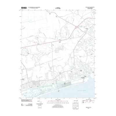 2010 Shallotte2010 Print · USGSCovers Sunset Beach, including Shallotte, Holden Beach, and other nearby areas
 - 2011 Map of Shallotte OE S, 2011 Print
 2011 Shallotte OE S2011 Print · USGSCovers Sunset Beach, including Ocean Isle Beach, Brunswick County, and other nearby areas
 - 2011 Map of Little River, 2011 Print
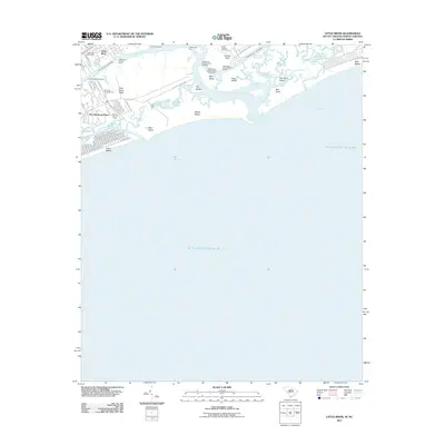 2011 Little River2011 Print · USGSCovers Sunset Beach, including North Myrtle Beach, Little River, and other nearby areas
 - 2011 Map of Calabash, 2011 Print
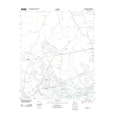 2011 Calabash2011 Print · USGSCovers Sunset Beach, including Carolina Shores, Calabash, and other nearby areas
 - 2013 Map of Shallotte OE S, 2013 Print
 2013 Shallotte OE S2013 Print · USGSCovers Sunset Beach, including Ocean Isle Beach, Brunswick County, and other nearby areas
 - 2013 Map of Calabash, 2013 Print
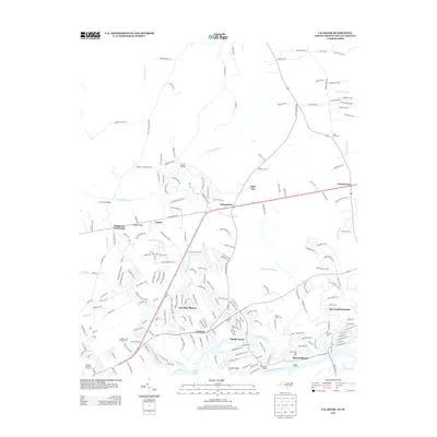 2013 Calabash2013 Print · USGSCovers Sunset Beach, including Carolina Shores, Calabash, and other nearby areas
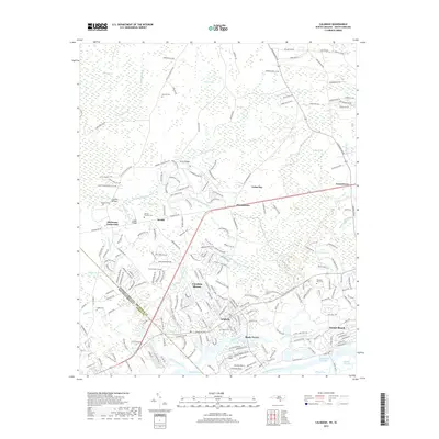
 - 2013 Map of Shallotte, 2013 Print
 2013 Shallotte2013 Print · USGSCovers Sunset Beach, including Shallotte, Holden Beach, and other nearby areas
 - 2014 Map of Little River, 2014 Print
 2014 Little River2014 Print · USGSCovers Sunset Beach, including North Myrtle Beach, Little River, and other nearby areas
 - 2016 Map of Shallotte OE S, 2016 Print
 2016 Shallotte OE S2016 Print · USGSCovers Sunset Beach, including Ocean Isle Beach, Brunswick County, and other nearby areas
 - 2016 Map of Calabash, 2016 Print
 2016 Calabash2016 Print · USGSCovers Sunset Beach, including Carolina Shores, Calabash, and other nearby areas
 - 2016 Map of Shallotte, 2016 Print
 2016 Shallotte2016 Print · USGSCovers Sunset Beach, including Shallotte, Holden Beach, and other nearby areas
 - 2017 Map of Little River, 2017 Print
 2017 Little River2017 Print · USGSCovers Sunset Beach, including North Myrtle Beach, Little River, and other nearby areas
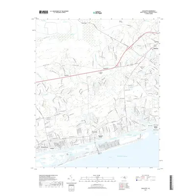
 - 2019 Map of Calabash, 2019 Print
 2019 Calabash2019 Print · USGSCovers Sunset Beach, including Carolina Shores, Calabash, and other nearby areas
 - 2019 Map of Shallotte OE S, 2019 Print
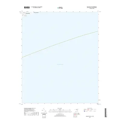 2019 Shallotte OE S2019 Print · USGSCovers Sunset Beach, including Ocean Isle Beach, Brunswick County, and other nearby areas
 - 2019 Map of Shallotte, 2019 Print
 2019 Shallotte2019 Print · USGSCovers Sunset Beach, including Shallotte, Holden Beach, and other nearby areas
 - 2020 Map of Little River, 2020 Print
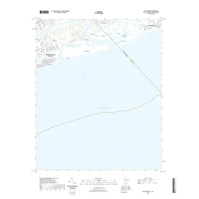 2020 Little River2020 Print · USGSCovers Sunset Beach, including North Myrtle Beach, Little River, and other nearby areas
 - 2022 Map of Shallotte OE S, 2022 Print
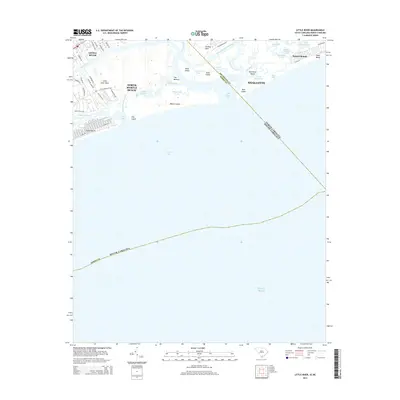
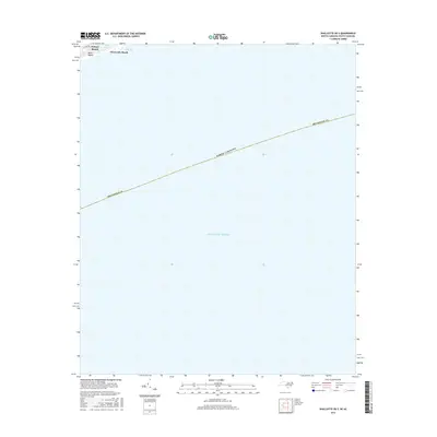
 2022 Shallotte OE S2022 Print · USGSThe Brunswick County coastline is captured here in the early 2020s, focusing on the barrier islands and maritime waters. You can trace the residential street grids of Sunset Beach and Ocean Isle Beach near the waters of Tubbs Inlet.
 - 2022 Map of Calabash, 2022 Print
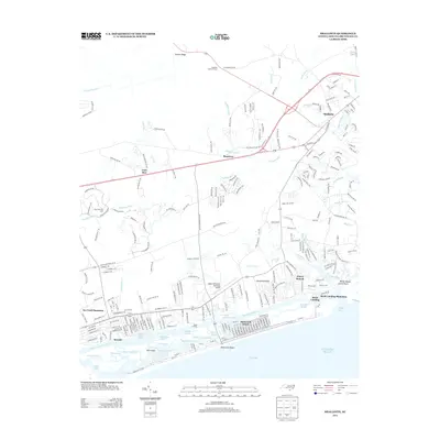
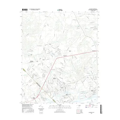
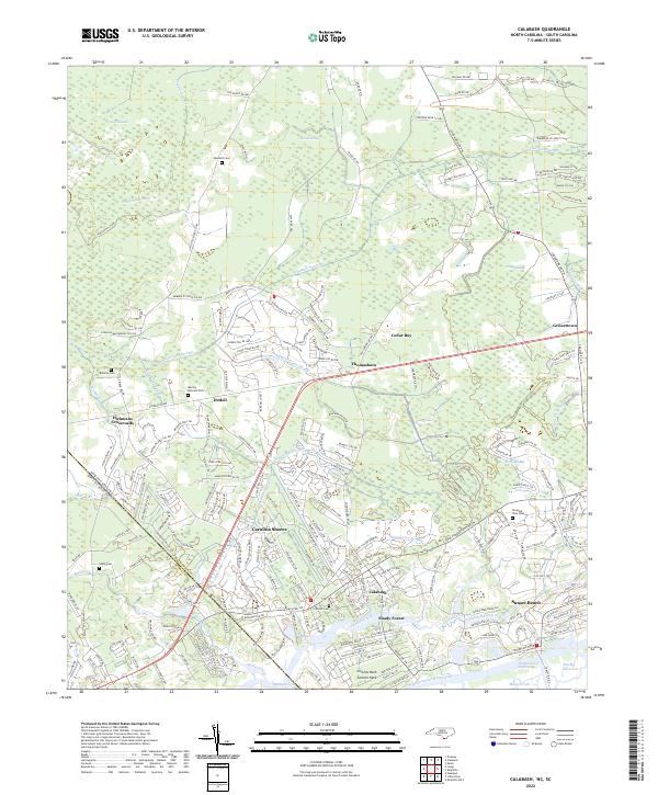 2022 Calabash2022 Print · USGSThe coastal borderlands of the Carolinas are shown here in modern detail, from the marshlands to the beach. Genealogists can locate several family sites like Manley Bennett Cem and Wilson Cem amidst the reaches of Cawcaw Swamp.
 - 2022 Map of Shallotte, 2022 Print
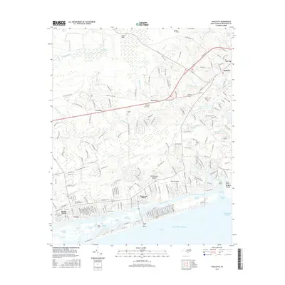
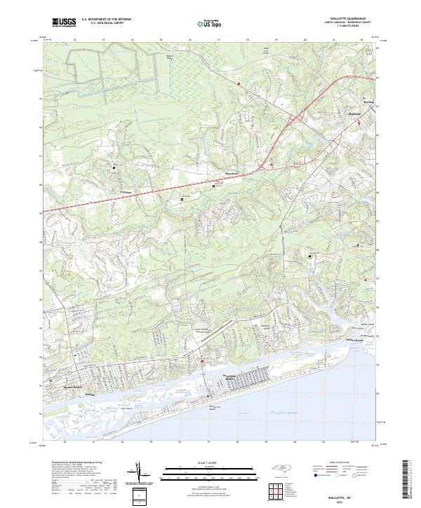 2022 Shallotte2022 Print · USGSThe Brunswick County coast is documented here in the early 2020s, from the inland reaches of the Shallotte River to the barrier islands. You can trace old family burial grounds like Mintz Cem and Register Cem or explore the developed waterfronts of Holden Beach and Sunset Beach.
 - 2024 Map of Little River, 2024 Print
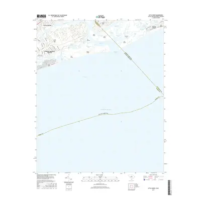
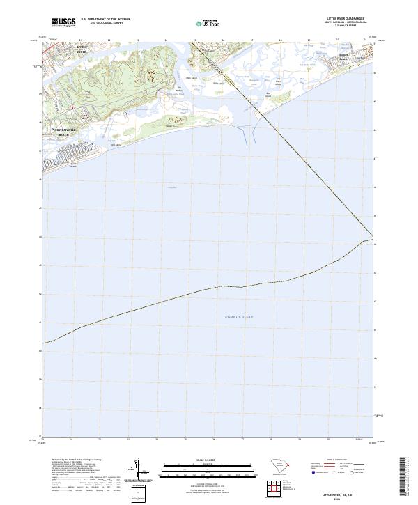 2024 Little River2024 Print · USGSThe Carolinas state line divides this coastal landscape in the modern era, where the Intracoastal Waterway flows into the sea. Genealogists and historians can trace the development of Little River and North Myrtle Beach near landmarks like the Battery and Waties Island.
End of results
Showing maps 1-20 of 20
Top cities near Sunset Beach
- North Myrtle Beach historical maps
- Carolina Shores historical maps
- Shallotte historical maps
- Holden Beach historical maps
- Calabash historical maps
- Ocean Isle Beach historical maps
See more
Frequently asked questions
- What are the different types of historical maps available for Sunset Beach?
- What is the oldest map of Sunset Beach?
- Where can I purchase historical maps of Sunset Beach for my home or office?
- Where can I download high-res historical maps of Sunset Beach?
- Are there historical topographic maps available for Sunset Beach?
- Is there historical aerial imagery available for Sunset Beach?
- Where are historical maps of Sunset Beach sourced from?