Old Maps of Beaufort, North Carolina
Explore 27 old maps of Beaufort, spanning from 1949 to today. These high-resolution historic maps reveal how streets, neighborhoods, landmarks, and natural features evolved over time — perfect for genealogy, metal detecting, research, and local history exploration.
What you can do with these maps:
- See how Beaufort changed over time: Compare historical maps to modern-day views to trace roads, homesites, rail lines & more.
- View detailed metadata: Each map includes creators, publishers, year, scale, and archive source.
- Overlay maps with satellite & LiDAR: Visualize the past alongside modern tools to explore terrain & human change.
- Trusted historical sources: Maps sourced from the USGS, Library of Congress, and other archives.
- Access maps your way: View online, download high-res files, or order prints for personal or research use.
Start exploring old maps of Beaufort to uncover forgotten places, hidden landmarks, and the deep history beneath your feet.
Beaufort, NC maps
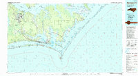
(27)- 1949 Map of Beaufort, 1964 Print
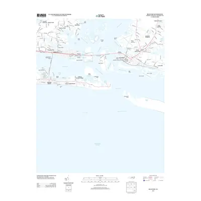
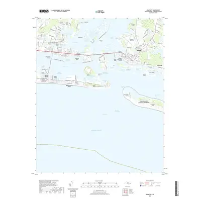
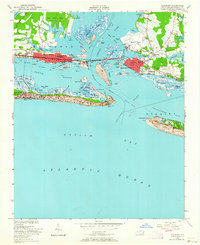 1949 Beaufort1964 Print · USGSCoastal Carteret County comes alive in the late 1940s, showing the developing waterfronts of Morehead City and Beaufort. Genealogists and historians can trace local landmarks like Bay View Cem, Fort Macon, and the Atlantic and East Carolina rail line.6 unique versions available
 - 1949 Map of Williston, 1984 Print
 1949 Williston1984 Print · USGSThe coastal hamlets of eastern North Carolina are captured here in the mid-forties, showing the maritime rhythm of life along Core Sound. Genealogists can trace family roots through the settlements of Otway, Bettie, and Smyrna, and find landmarks like Woodville Church.
 - 1949 Map of Core Creek, 1984 Print
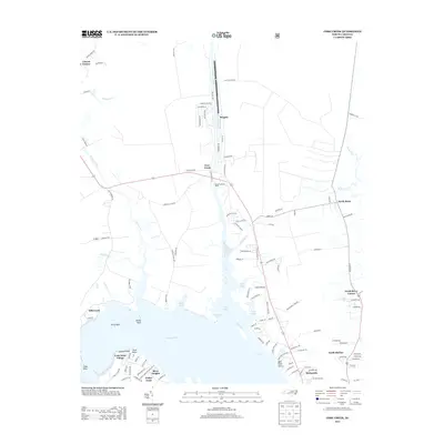
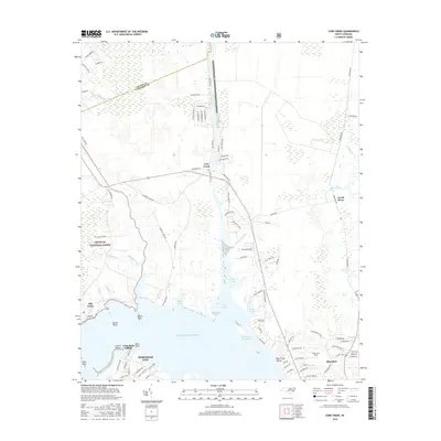
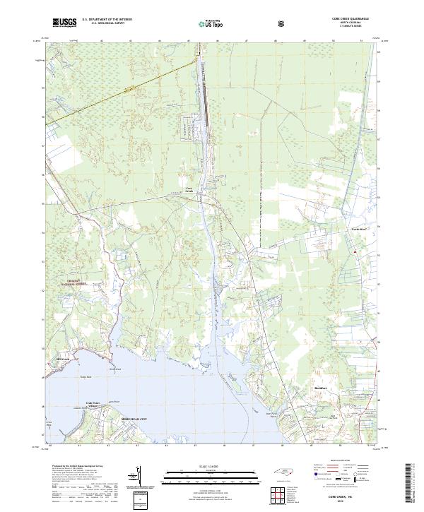
 1949 Core Creek1984 Print · USGSCoastal Carteret County is mapped here in the mid-twentieth century as the maritime and timber economies shaped the shoreline. Genealogists and local researchers can trace early homesteads and community life through Crab Point Village, Tattles Grove Ch, and the Barge Landing Basin.2 unique versions available
 - 1951 Map of Williston
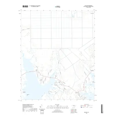
 1951 Williston1951 Print · USGSCoastal Carteret County is captured here in the early fifties, showing a landscape of tidal marshes and established water-side settlements. Genealogists can trace family footprints in Smyrna, Williston, and Bettie, or locate landmarks like Woodville Church and Middens.
 - 1951 Map of Core Creek
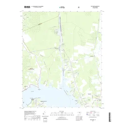
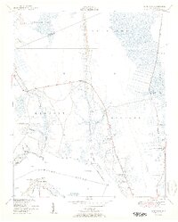 1951 Core Creek1951 Print · USGSCoastal Carteret County in the early fifties shows a landscape defined by the Intracoastal Waterway and the Croatan National Forest. Genealogists can locate family landmarks like Crab Point Village and several country churches, including Live Oak Grove Ch and Freewill Ch.3 unique versions available
 - 1951 Map of Beaufort
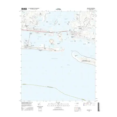
 1951 Beaufort1951 Print · USGSCoastal Carteret County thrives as a maritime and rail hub in the years following the second World War. Genealogists and local historians can trace family-named landmarks like Willis Point and Steep Pines Fork, or locate institutional anchors like U.S. Marine Biological Station.2 unique versions available
 - 1953 Map of Beaufort, 1965 Print
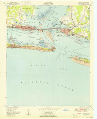
 1953 Beaufort1965 Print · USGSThe North Carolina coastline in the mid-fifties reveals an era of massive military expansion alongside traditional maritime life. Genealogists can trace family names and small settlements from Sealevel to Sneads Ferry or locate landmarks like Fort Macon.3 unique versions available
 - 1954 Map of Beaufort
 1954 Beaufort1954 Print · USGSCoastal North Carolina in the mid-fifties reveals a landscape of strategic military installations, sprawling wetlands, and thriving rail towns. Genealogists and historians can trace the foundations of Wilmington, the rural reaches of Duplin County, and shoreline landmarks like Cape Lookout and Carolina Beach.
 - 1972 Map of Beaufort, 1975 Print
 1972 Beaufort1975 Print · USGSThe North Carolina coast in the early seventies shows a landscape defined by massive military bases and coastal sounds. Trace rural family roots at Sarecta and Catherine Lake or explore the barrier islands of the Cape Lookout National Seashore.
 - 1985 Map of Morehead City
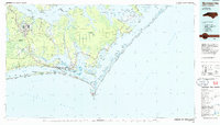 1985 Morehead City1985 Print · USGSCoastal Carteret County in the 1980s reveals a transition from military installations and industrial hubs to protected wilderness along the Outer Banks. Researchers can trace the development of Morehead City and Beaufort or explore the remote stretches of Shackleford Banks and Harkers Island.
 - 1990 Map of Morehead City
 1990 Morehead City1990 Print · USGSCoastal Carteret County at the start of the nineties reveals a landscape balanced between military installations and expansive national seashores. Trace the shoreline from Cherry Point down to the Lighthouse at Cape Lookout and the historic streets of Beaufort.
 - 1994 Map of Core Creek, 1997 Print
 1994 Core Creek1997 Print · USGSCoastal Carteret County is mapped here in the mid-nineties, showing the critical junction where the Intracoastal Waterway meets the Newport River. Local historians can trace established communities like Crab Point Village and Bayview alongside rural landmarks like Graham Chapel.2 unique versions available
 - 2010 Map of Williston, 2010 Print
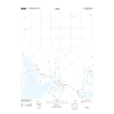
 2010 Williston2010 Print · USGSCovers Beaufort, including Williston, Bettie, and other nearby areas
 - 2011 Map of Beaufort, 2011 Print
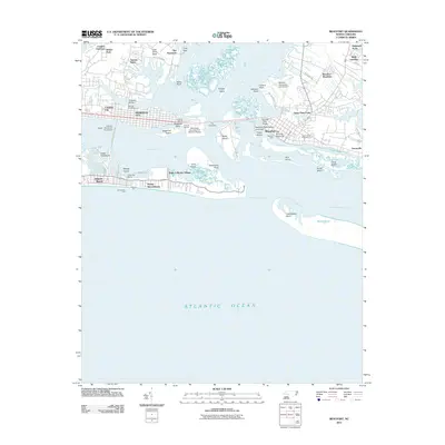 2011 Beaufort2011 Print · USGSCovers Beaufort, including Morehead City, Atlantic Beach, and other nearby areas
 - 2011 Map of Core Creek, 2011 Print
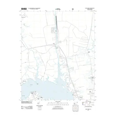 2011 Core Creek2011 Print · USGSCovers Beaufort, including Morehead City, Crab Point Village, and other nearby areas
 - 2013 Map of Beaufort, 2013 Print
 2013 Beaufort2013 Print · USGSCovers Beaufort, including Morehead City, Atlantic Beach, and other nearby areas
 - 2013 Map of Core Creek, 2013 Print
 2013 Core Creek2013 Print · USGSCovers Beaufort, including Morehead City, Crab Point Village, and other nearby areas
 - 2013 Map of Williston, 2013 Print
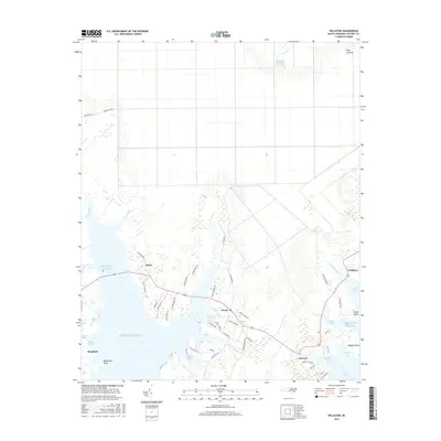
 2013 Williston2013 Print · USGSCovers Beaufort, including Williston, Bettie, and other nearby areas
 - 2016 Map of Williston, 2016 Print
 2016 Williston2016 Print · USGSCovers Beaufort, including Williston, Bettie, and other nearby areas
 - 2016 Map of Beaufort, 2016 Print
 2016 Beaufort2016 Print · USGSCovers Beaufort, including Morehead City, Atlantic Beach, and other nearby areas
 - 2016 Map of Core Creek, 2016 Print
 2016 Core Creek2016 Print · USGSCovers Beaufort, including Morehead City, Crab Point Village, and other nearby areas
 - 2019 Map of Core Creek, 2019 Print
 2019 Core Creek2019 Print · USGSCovers Beaufort, including Morehead City, Crab Point Village, and other nearby areas
 - 2019 Map of Williston, 2019 Print
 2019 Williston2019 Print · USGSCovers Beaufort, including Williston, Bettie, and other nearby areas
 - 2019 Map of Beaufort, 2019 Print
 2019 Beaufort2019 Print · USGSCovers Beaufort, including Morehead City, Atlantic Beach, and other nearby areas
 - 2022 Map of Core Creek, 2022 Print
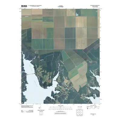
 2022 Core Creek2022 Print · USGSCoastal Carteret County is mapped here during a period of modern residential growth alongside protected wilderness and vital maritime channels. Genealogists and researchers can locate landmarks like Hardesty Cemetery Rd and maritime settlements including Crab Point Village and Mill Creek.
Showing maps 1-25 of 27
Top cities near Beaufort
- Havelock historical maps
- Morehead City historical maps
- Newport historical maps
- Atlantic Beach historical maps
- Pine Knoll Shores historical maps
- Minnesott Beach historical maps
See more
Top neighborhoods of Beaufort
- Steep Pines Fork historical maps
- Cedarville Estates historical maps
- North Harbor historical maps
- Beaufort Meadows historical maps
Frequently asked questions
- What are the different types of historical maps available for Beaufort?
- What is the oldest map of Beaufort?
- Where can I purchase historical maps of Beaufort for my home or office?
- Where can I download high-res historical maps of Beaufort?
- Are there historical topographic maps available for Beaufort?
- Is there historical aerial imagery available for Beaufort?
- Where are historical maps of Beaufort sourced from?