Old Maps of Brickhaven, North Carolina for Academic Research
Study the evolution of Brickhaven with 10 high-resolution historic maps. Whether you're teaching, researching, or modeling changes in land use, these maps provide essential visual documentation of urban, environmental, and geographic change.
- Analyze long-term change: Track patterns in development, transportation, and natural features.
- Ideal for environmental or urban studies: Support academic projects with primary historical map data.
- Use in the classroom or lab: Educators and researchers rely on these maps to bring historical context to life.
These maps are a powerful tool for teaching, research, and visualizing how Brickhaven has changed over the decades.
Brickhaven, NC maps
(10)- 1953 Map of Raleigh, 1965 Print
 1953 Raleigh1965 Print · USGSCentral North Carolina in the early sixties shows a landscape of growing towns and military hubs before the full expansion of the interstate system. Genealogists can trace family footprints across the Piedmont through Wake Forest, Siler City, and the large Fort Bragg Military Reservation.4 unique versions available
 - 1954 Map of Raleigh
 1954 Raleigh1954 Print · USGSThe North Carolina Piedmont and Sandhills are captured in the mid-fifties during a period of steady regional growth. Genealogists and historians can trace the development of towns like Siler City or locate landmarks such as Falls of Neuse and Camp Mackall.
 - 1970 Map of Moncure, 1973 Print
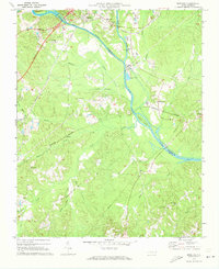 1970 Moncure1973 Print · USGSThe confluence of the Deep and Haw Rivers defines this Chatham County landscape in the early seventies as industrial growth meets rural tradition. Trace the rail lines of the Seaboard Coast Line and find landmarks like Rose Hill Ch or the Copper Mine.2 unique versions available
 - 1984 Map of Chapel Hill, 1985 Print
 1984 Chapel Hill1985 Print · USGSNorth Carolina’s Piedmont and the northern reaches of the Uwharrie Mountains are captured here in the mid-eighties. Genealogists can trace family roots through rural landmarks like Union Chapel or locate old rail stops along the Seaboard line.
 - 1993 Map of Moncure, 1999 Print
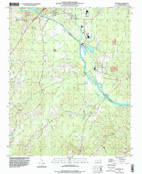 1993 Moncure1999 Print · USGSThe headwaters of the Cape Fear River come into focus in the 1990s as the river-driven economy shifted toward modern utilities. Local historians can trace family roots through Rose Hill Cem and Memphis Ch or locate industrial sites like the Claypit near Brickhaven.
 - 2010 Map of Moncure, 2010 Print
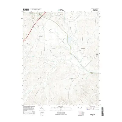
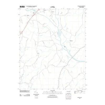 2010 Moncure2010 Print · USGSCovers Brickhaven, including Rosser, Moncure, and other nearby areas
 - 2013 Map of Moncure, 2013 Print
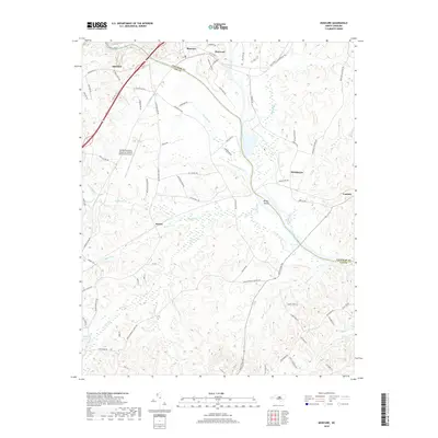
 2013 Moncure2013 Print · USGSCovers Brickhaven, including Rosser, Moncure, and other nearby areas
 - 2016 Map of Moncure, 2016 Print
 2016 Moncure2016 Print · USGSCovers Brickhaven, including Rosser, Moncure, and other nearby areas
 - 2019 Map of Moncure, 2019 Print
 2019 Moncure2019 Print · USGSCovers Brickhaven, including Rosser, Moncure, and other nearby areas
 - 2022 Map of Moncure, 2022 Print
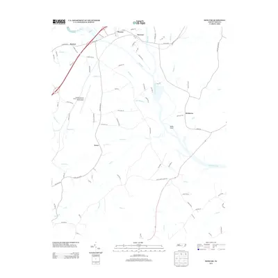
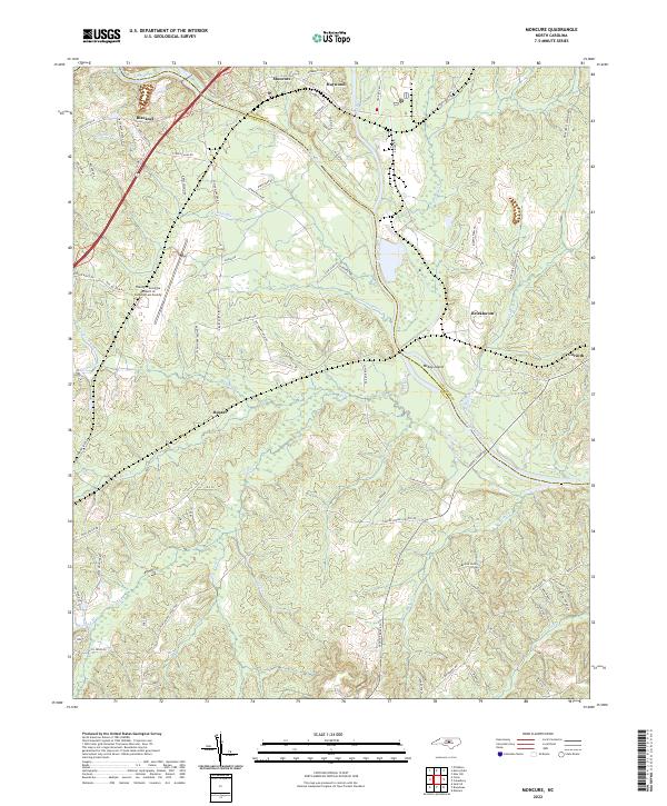 2022 Moncure2022 Print · USGSThe confluence of the Deep River and Cape Fear River defines this North Carolina landscape in the early 2020s. Researchers can trace rural lineages through settlements like Moncure, Haywood, and Brickhaven.
End of results
Showing maps 1-10 of 10
Top cities near Brickhaven
- Raleigh historical maps
- Cary historical maps
- Apex historical maps
- Fuquay-Varina historical maps
- Sanford historical maps
- Morrisville historical maps
See more
Frequently asked questions
- What are the different types of historical maps available for Brickhaven?
- What is the oldest map of Brickhaven?
- Where can I purchase historical maps of Brickhaven for my home or office?
- Where can I download high-res historical maps of Brickhaven?
- Are there historical topographic maps available for Brickhaven?
- Is there historical aerial imagery available for Brickhaven?
- Where are historical maps of Brickhaven sourced from?