Old Maps of Siler City, North Carolina for Metal Detecting
Plan your next treasure hunt with 15 historic maps of Siler City. Find old homesites, ghost towns, trails, and gathering spots that may be lost to time — perfect for identifying promising metal detecting locations.
- Locate forgotten sites: Uncover places like long-lost settlements, abandoned rail lines, or gathering spots.
- Plan better hunts: Use map overlays combined with LiDAR or satellite views to narrow in on historically rich areas.
- Made for detectorists: Thousands of hobbyists use these maps to discover relics, coins, and hidden history.
Use these historic maps to boost your research and find new opportunities beneath the surface of Siler City.
Siler City, NC maps
(15)- 1953 Map of Raleigh, 1965 Print
 1953 Raleigh1965 Print · USGSCentral North Carolina in the early sixties shows a landscape of growing towns and military hubs before the full expansion of the interstate system. Genealogists can trace family footprints across the Piedmont through Wake Forest, Siler City, and the large Fort Bragg Military Reservation.4 unique versions available
 - 1954 Map of Raleigh
 1954 Raleigh1954 Print · USGSThe North Carolina Piedmont and Sandhills are captured in the mid-fifties during a period of steady regional growth. Genealogists and historians can trace the development of towns like Siler City or locate landmarks such as Falls of Neuse and Camp Mackall.
 - 1969 Map of Siler City, 1973 Print
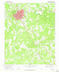 1969 Siler City1973 Print · USGSChatham County's industrial and rural character is on full display during the late sixties as Siler City expands along the rail lines. Local historians can trace family landmarks like Mt Vernon Springs Ch, the Old Railroad Grade, and Palmers Chapel.2 unique versions available
 - 1974 Map of Crutchfield Crossroads, 1976 Print
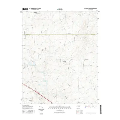
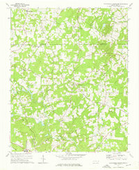 1974 Crutchfield Crossroads1976 Print · USGSThe rural border of Alamance and Chatham counties is captured here in the mid-seventies, showing a landscape of timber, small farms, and deep-rooted congregations. Genealogists and historians can trace family locations near Crutchfield Crossroads or churches like Piney Grove Ch and Pleasant Grove Ch.2 unique versions available
 - 1984 Map of Chapel Hill, 1985 Print
 1984 Chapel Hill1985 Print · USGSNorth Carolina’s Piedmont and the northern reaches of the Uwharrie Mountains are captured here in the mid-eighties. Genealogists can trace family roots through rural landmarks like Union Chapel or locate old rail stops along the Seaboard line.
 - 2010 Map of Siler City, 2010 Print
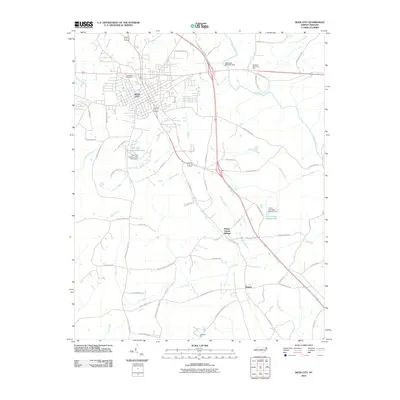 2010 Siler City2010 Print · USGSCovers Siler City, including Mount Vernon Springs, Bonlee, and other nearby areas
 - 2010 Map of Crutchfield Crossroads, 2010 Print
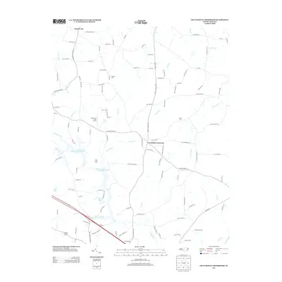
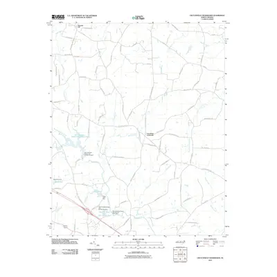 2010 Crutchfield Crossroads2010 Print · USGSCovers Siler City, including Crutchfield Crossroads, Pleasant Hill, and other nearby areas
 - 2013 Map of Crutchfield Crossroads, 2013 Print
 2013 Crutchfield Crossroads2013 Print · USGSCovers Siler City, including Crutchfield Crossroads, Pleasant Hill, and other nearby areas
 - 2013 Map of Siler City, 2013 Print
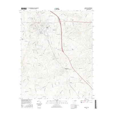
 2013 Siler City2013 Print · USGSCovers Siler City, including Mount Vernon Springs, Bonlee, and other nearby areas
 - 2016 Map of Crutchfield Crossroads, 2016 Print
 2016 Crutchfield Crossroads2016 Print · USGSCovers Siler City, including Crutchfield Crossroads, Pleasant Hill, and other nearby areas
 - 2016 Map of Siler City, 2016 Print
 2016 Siler City2016 Print · USGSCovers Siler City, including Mount Vernon Springs, Bonlee, and other nearby areas
 - 2019 Map of Siler City, 2019 Print
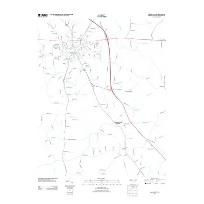
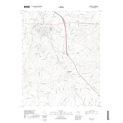 2019 Siler City2019 Print · USGSCovers Siler City, including Mount Vernon Springs, Bonlee, and other nearby areas
 - 2019 Map of Crutchfield Crossroads, 2019 Print
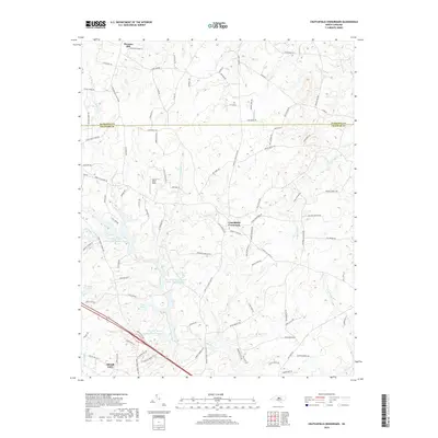 2019 Crutchfield Crossroads2019 Print · USGSCovers Siler City, including Crutchfield Crossroads, Pleasant Hill, and other nearby areas
 - 2022 Map of Crutchfield Crossroads, 2022 Print
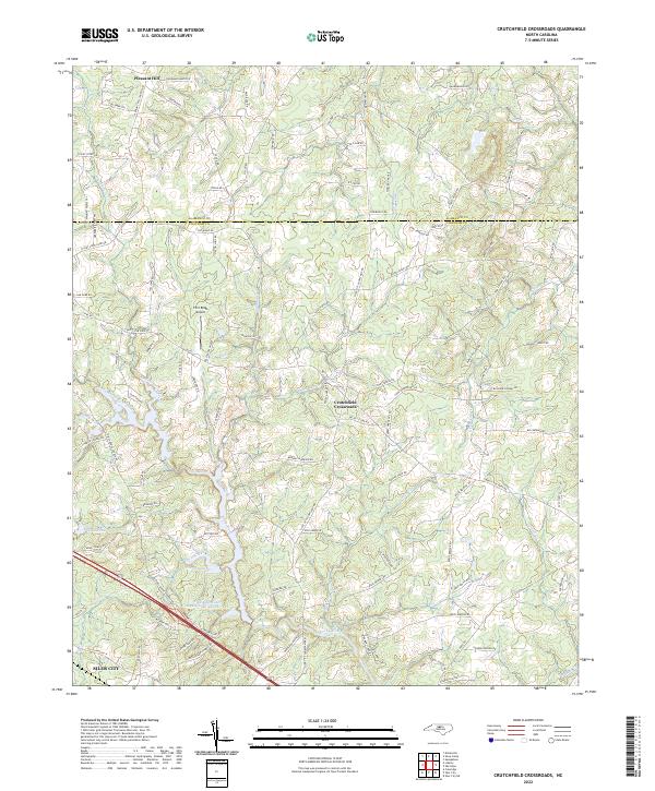 2022 Crutchfield Crossroads2022 Print · USGSChatham and Alamance counties are documented here in the early 2020s, showing the rural landscapes north of the regional hub of Siler City. Researchers can trace old family roadbeds and water features like Crutchfield Crossroads, Rocky River, and the Siler City Water Supply Lake Number Two.
 - 2022 Map of Siler City, 2022 Print
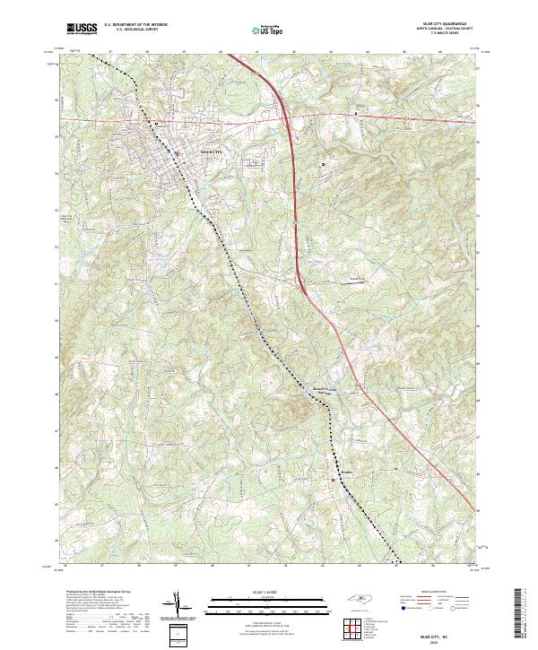 2022 Siler City2022 Print · USGSSiler City and the surrounding Chatham County countryside are captured here in the early twenty-first century. Genealogists and local historians can trace family locations near Oakwood Cem, the settlement at Bonlee, and the waters of Tick Cr.
End of results
Showing maps 1-15 of 15
Top cities near Siler City
- Sanford historical maps
- Liberty historical maps
- Ramseur historical maps
- Saxapahaw historical maps
- Franklinville historical maps
- Staley historical maps
See more
Top neighborhoods of Siler City
Frequently asked questions
- What are the different types of historical maps available for Siler City?
- What is the oldest map of Siler City?
- Where can I purchase historical maps of Siler City for my home or office?
- Where can I download high-res historical maps of Siler City?
- Are there historical topographic maps available for Siler City?
- Is there historical aerial imagery available for Siler City?
- Where are historical maps of Siler City sourced from?