Old Maps of Boiling Springs, North Carolina
Explore 22 old maps of Boiling Springs, spanning from 1909 to today. These high-resolution historic maps reveal how streets, neighborhoods, landmarks, and natural features evolved over time — perfect for genealogy, metal detecting, research, and local history exploration.
What you can do with these maps:
- See how Boiling Springs changed over time: Compare historical maps to modern-day views to trace roads, homesites, rail lines & more.
- View detailed metadata: Each map includes creators, publishers, year, scale, and archive source.
- Overlay maps with satellite & LiDAR: Visualize the past alongside modern tools to explore terrain & human change.
- Trusted historical sources: Maps sourced from the USGS, Library of Congress, and other archives.
- Access maps your way: View online, download high-res files, or order prints for personal or research use.
Start exploring old maps of Boiling Springs to uncover forgotten places, hidden landmarks, and the deep history beneath your feet.
Boiling Springs, NC maps
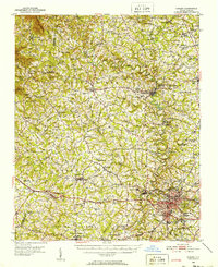
(22)- 1909 Map of Gaffney
 1909 Gaffney1909 Print · USGSCherokee County at the turn of the century centers on the growing textile and rail hubs of Gaffney and Blacksburg. Researchers can trace early river transport at Stacy Ferry or locate ancestral roots at Providence Church and the Sarratt School.4 unique versions available
 - 1950 Map of Shelby, 1952 Print
 1950 Shelby1952 Print · USGSCleveland County's textile and rail infrastructure is at its peak in the early fifties, centering on the regional hub of Shelby. Genealogists and local historians can trace family roots through numerous country landmarks like Ora Mill, Belwood High Sch, and Double Springs Ch.2 unique versions available
 - 1953 Map of Charlotte, 1968 Print
 1953 Charlotte1968 Print · USGSThe North Carolina Piedmont and South Carolina borderlands are shown in detail during a period of significant growth and reservoir development. Trace the rail corridors of the Southern Railway or find family roots in towns like China Grove, Misenheimer, and Lincolnton.3 unique versions available
 - 1954 Map of Charlotte
 1954 Charlotte1954 Print · USGSThe North Carolina Piedmont in the mid-1950s shows a region of rapid growth and industrial expansion centered around Charlotte. Trace the era's infrastructure through the Southern railroad lines and locate significant landmarks like the Charlotte Naval Ammunition Depot and Lake Norman.2 unique versions available
 - 1960 Map of Charlotte
 1960 Charlotte1960 Print · USGSMid-century North Carolina and South Carolina meet in this 1960 survey of the Piedmont's industrial and textile heartland. Trace the growth of Charlotte alongside historic landmarks like Kings Mountain National Military Park and the Charlotte Naval Ammunition Depot.2 unique versions available
 - 1962 Map of Charlotte
 1962 Charlotte1962 Print · USGSThe North Carolina Piedmont in the early sixties showcases a landscape transformed by massive reservoirs and industrial growth. Researchers can trace the development of Lake Norman, locate the Charlotte Naval Ammunition Depot, or find family landmarks like Wesley Chapel and Brown & Norcott Mills.
 - 1971 Map of Boiling Springs South, 1973 Print
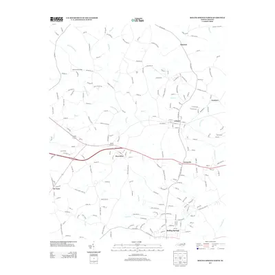
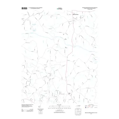
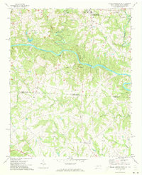 1971 Boiling Springs South1973 Print · USGSThe Carolina borderlands come into focus in the early 1970s, as the Broad River carves through the rural landscape of Cleveland and Cherokee counties. Genealogists can trace family footprints at Gardner-Webb College, Mt Pleasant Ch, and Grassy Pond.3 unique versions available
 - 1976 Map of Boiling Springs South, 1978 Print
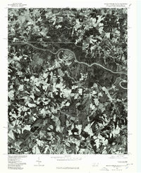 1976 Boiling Springs South1978 Print · USGSThe North and South Carolina borderlands appear in striking photographic detail during the mid-seventies. Trace the rural landscape surrounding Boiling Springs and Grassy Pond, or follow the timbered banks of the Broad River.
 - 1982 Map of Boiling Springs North, 1983 Print
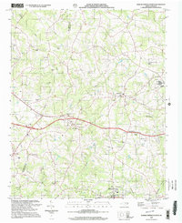
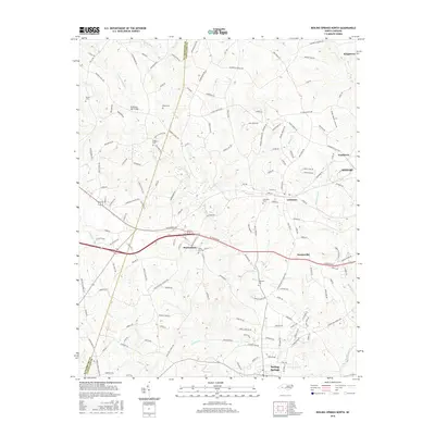
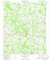 1982 Boiling Springs North1983 Print · USGSIn the early 1980s, this portion of Cleveland and Rutherford counties centered on the rail corridors and rural communities. Genealogists can trace family landmarks like McBrayer Cem, Goodey Grove Ch, and the McKinney Mill Bridge.
 - 1986 Map of Gastonia
 1986 Gastonia1986 Print · USGSThe Carolina Piedmont in the mid-eighties shows a landscape shaped by Revolutionary War history and the textile industry. Trace the footprints of early battles at Kings Mountain National Military Park and locate depots along the Southern Railway in Shelby and Gastonia.
 - 1991 Map of Gastonia
 1991 Gastonia1991 Print · USGSThe Piedmont region along the North Carolina and South Carolina border shows a bustling industrial and transit corridor in the early nineties. Researchers can trace the sprawling footprints of Gastonia and Shelby or explore the grounds of Kings Mountain National Military Park and Lake Wylie.
 - 2002 Map of Boiling Springs North, 2003 Print
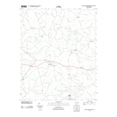
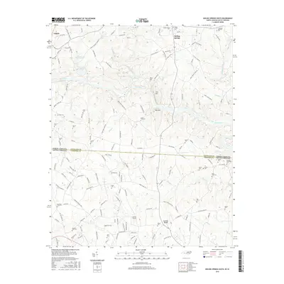
 2002 Boiling Springs North2003 Print · USGSCleveland and Rutherford Counties are documented here at the opening of the millennium, showing a landscape shaped by rural crossroads and small-town growth. Genealogists and local historians can locate family landmarks such as the Beam Cem, the McKinney Mill Bridge, and old community centers like Mooresboro.
 - 2010 Map of Boiling Springs North, 2010 Print
 2010 Boiling Springs North2010 Print · USGSCovers Boiling Springs, including Shelby, Kingstown, and other nearby areas
 - 2011 Map of Boiling Springs South, 2011 Print
 2011 Boiling Springs South2011 Print · USGSCovers Boiling Springs, including Maud, Grassy Pond, and other nearby areas
 - 2013 Map of Boiling Springs North, 2013 Print
 2013 Boiling Springs North2013 Print · USGSCovers Boiling Springs, including Shelby, Kingstown, and other nearby areas
 - 2013 Map of Boiling Springs South, 2013 Print
 2013 Boiling Springs South2013 Print · USGSCovers Boiling Springs, including Maud, Grassy Pond, and other nearby areas
 - 2016 Map of Boiling Springs North, 2016 Print
 2016 Boiling Springs North2016 Print · USGSCovers Boiling Springs, including Shelby, Kingstown, and other nearby areas
 - 2016 Map of Boiling Springs South, 2016 Print
 2016 Boiling Springs South2016 Print · USGSCovers Boiling Springs, including Maud, Grassy Pond, and other nearby areas
 - 2019 Map of Boiling Springs North, 2019 Print
 2019 Boiling Springs North2019 Print · USGSCovers Boiling Springs, including Shelby, Kingstown, and other nearby areas
 - 2019 Map of Boiling Springs South, 2019 Print
 2019 Boiling Springs South2019 Print · USGSCovers Boiling Springs, including Maud, Grassy Pond, and other nearby areas
 - 2022 Map of Boiling Springs North, 2022 Print
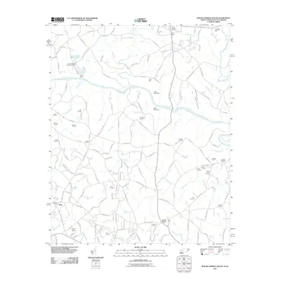
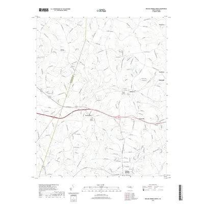
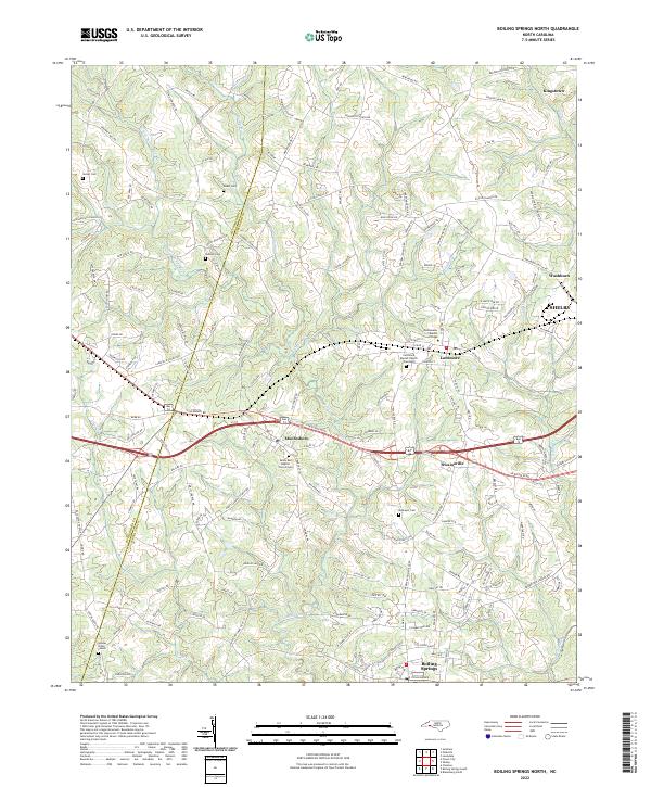 2022 Boiling Springs North2022 Print · USGSThe foothills of the Carolinas appear in detail just after the turn of the decade, showing the transition from rural acreage to the outskirts of Boiling Springs. Researchers can locate family roots at Sandy Run Baptist Church Cem or trace landmarks like Ambassador Baptist College.
 - 2022 Map of Boiling Springs South, 2022 Print
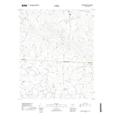
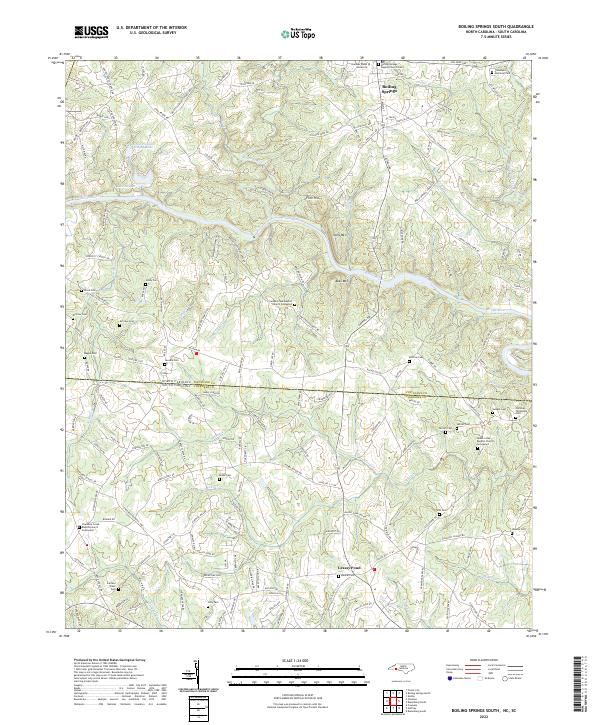 2022 Boiling Springs South2022 Print · USGSThe Carolina borderlands north of Gaffney appear in this recent survey, where the Broad River divides the landscape between the Blue Ridge and the Piedmont. Researchers can trace decades of family history through numerous burial sites like Furnace Place Cem, Robbs Cem, and the Camps Creek Baptist Church Graveyard.
End of results
Showing maps 1-22 of 22
Top cities near Boiling Springs
- Shelby historical maps
- Gaffney historical maps
- Kings Mountain historical maps
- Forest City historical maps
- Cowpens historical maps
- Blacksburg historical maps
See more
Frequently asked questions
- What are the different types of historical maps available for Boiling Springs?
- What is the oldest map of Boiling Springs?
- Where can I purchase historical maps of Boiling Springs for my home or office?
- Where can I download high-res historical maps of Boiling Springs?
- Are there historical topographic maps available for Boiling Springs?
- Is there historical aerial imagery available for Boiling Springs?
- Where are historical maps of Boiling Springs sourced from?