Old Maps of Blacksburg, South Carolina
Explore 21 old maps of Blacksburg, spanning from 1909 to today. These high-resolution historic maps reveal how streets, neighborhoods, landmarks, and natural features evolved over time — perfect for genealogy, metal detecting, research, and local history exploration.
What you can do with these maps:
- See how Blacksburg changed over time: Compare historical maps to modern-day views to trace roads, homesites, rail lines & more.
- View detailed metadata: Each map includes creators, publishers, year, scale, and archive source.
- Overlay maps with satellite & LiDAR: Visualize the past alongside modern tools to explore terrain & human change.
- Trusted historical sources: Maps sourced from the USGS, Library of Congress, and other archives.
- Access maps your way: View online, download high-res files, or order prints for personal or research use.
Start exploring old maps of Blacksburg to uncover forgotten places, hidden landmarks, and the deep history beneath your feet.
Blacksburg, SC maps
(21)- 1909 Map of Gaffney
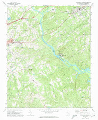
 1909 Gaffney1909 Print · USGSCherokee County at the turn of the century centers on the growing textile and rail hubs of Gaffney and Blacksburg. Researchers can trace early river transport at Stacy Ferry or locate ancestral roots at Providence Church and the Sarratt School.4 unique versions available
 - 1953 Map of Charlotte, 1968 Print
 1953 Charlotte1968 Print · USGSThe North Carolina Piedmont and South Carolina borderlands are shown in detail during a period of significant growth and reservoir development. Trace the rail corridors of the Southern Railway or find family roots in towns like China Grove, Misenheimer, and Lincolnton.3 unique versions available
 - 1954 Map of Charlotte
 1954 Charlotte1954 Print · USGSThe North Carolina Piedmont in the mid-1950s shows a region of rapid growth and industrial expansion centered around Charlotte. Trace the era's infrastructure through the Southern railroad lines and locate significant landmarks like the Charlotte Naval Ammunition Depot and Lake Norman.2 unique versions available
 - 1960 Map of Charlotte
 1960 Charlotte1960 Print · USGSMid-century North Carolina and South Carolina meet in this 1960 survey of the Piedmont's industrial and textile heartland. Trace the growth of Charlotte alongside historic landmarks like Kings Mountain National Military Park and the Charlotte Naval Ammunition Depot.2 unique versions available
 - 1962 Map of Charlotte
 1962 Charlotte1962 Print · USGSThe North Carolina Piedmont in the early sixties showcases a landscape transformed by massive reservoirs and industrial growth. Researchers can trace the development of Lake Norman, locate the Charlotte Naval Ammunition Depot, or find family landmarks like Wesley Chapel and Brown & Norcott Mills.
 - 1971 Map of Blacksburg South, 1974 Print
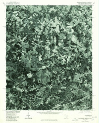
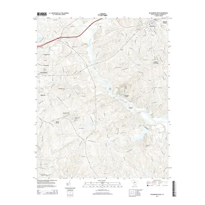
 1971 Blacksburg South1974 Print · USGSCherokee County at the start of the seventies reveals a landscape of river-dependent industry and scattered rural communities. Genealogists can trace family roots through sites like Old McKowns Mtn Church, Cashion Crossroads, and Mountain View Cemetery.
 - 1971 Map of Blacksburg North, 1974 Print
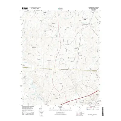
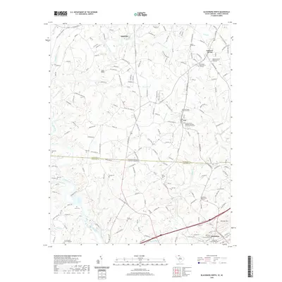
 1971 Blacksburg North1974 Print · USGSThe Carolina borderlands come into focus in the early 1970s as the river-driven industry of the Piedmont matures. Researchers can trace family-named landmarks and rural centers like Patterson Springs, Old Falls Chapel, and the Stice Shoals Dam.
 - 1976 Map of Blacksburg North, 1978 Print
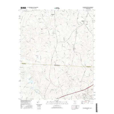
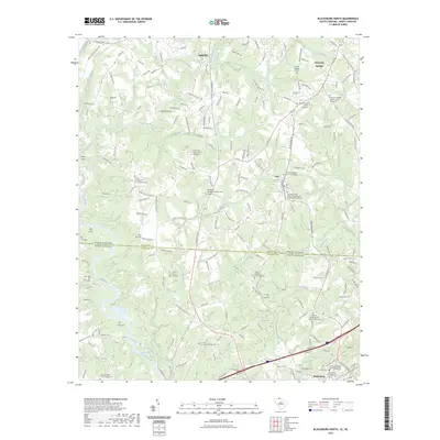
 1976 Blacksburg North1978 Print · USGSThe borderlands of the Carolinas are captured in this mid-seventies aerial survey, showing the landscape as it transitioned toward modern development. Researchers can trace land use patterns around Blacksburg and locate historical structures near Earl and Patterson Springs.
 - 1986 Map of Gastonia
 1986 Gastonia1986 Print · USGSThe Carolina Piedmont in the mid-eighties shows a landscape shaped by Revolutionary War history and the textile industry. Trace the footprints of early battles at Kings Mountain National Military Park and locate depots along the Southern Railway in Shelby and Gastonia.
 - 1991 Map of Gastonia
 1991 Gastonia1991 Print · USGSThe Piedmont region along the North Carolina and South Carolina border shows a bustling industrial and transit corridor in the early nineties. Researchers can trace the sprawling footprints of Gastonia and Shelby or explore the grounds of Kings Mountain National Military Park and Lake Wylie.
 - 2011 Map of Blacksburg North, 2011 Print
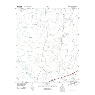 2011 Blacksburg North2011 Print · USGSCovers Blacksburg, including Shelby, Patterson Springs, and other nearby areas
 - 2011 Map of Blacksburg South, 2011 Print
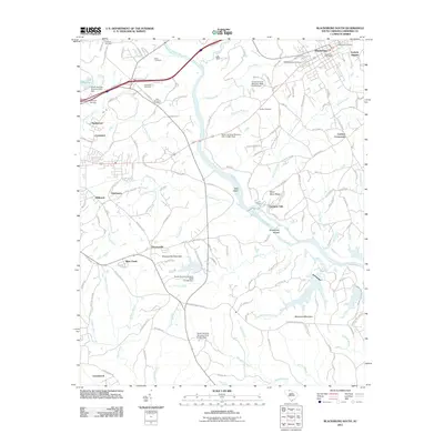 2011 Blacksburg South2011 Print · USGSCovers Blacksburg, including Gaffney, Briar Creek, and other nearby areas
 - 2014 Map of Blacksburg South, 2014 Print
 2014 Blacksburg South2014 Print · USGSCovers Blacksburg, including Gaffney, Briar Creek, and other nearby areas
 - 2014 Map of Blacksburg North, 2014 Print
 2014 Blacksburg North2014 Print · USGSCovers Blacksburg, including Shelby, Patterson Springs, and other nearby areas
 - 2017 Map of Blacksburg North, 2017 Print
 2017 Blacksburg North2017 Print · USGSCovers Blacksburg, including Shelby, Patterson Springs, and other nearby areas
 - 2017 Map of Blacksburg South, 2017 Print
 2017 Blacksburg South2017 Print · USGSCovers Blacksburg, including Gaffney, Briar Creek, and other nearby areas
 - 2020 Map of Blacksburg South, 2020 Print
 2020 Blacksburg South2020 Print · USGSCovers Blacksburg, including Gaffney, Briar Creek, and other nearby areas
 - 2020 Map of Blacksburg North, 2020 Print
 2020 Blacksburg North2020 Print · USGSCovers Blacksburg, including Shelby, Patterson Springs, and other nearby areas
 - 2023 Map of Blacksburg North, 2023 Print
 2023 Blacksburg North2023 Print · USGSCovers Blacksburg, including Shelby, Patterson Springs, and other nearby areas
 - 2024 Map of Blacksburg South, 2024 Print
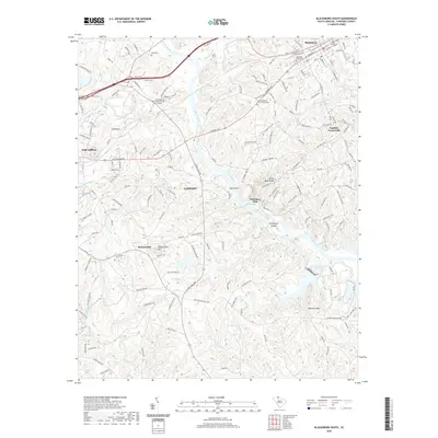
 2024 Blacksburg South2024 Print · USGSCherokee County in the modern era continues to be shaped by its deep-seated river routes and hill-country settlements. Researchers can locate family landmarks like the Moss Family Cem or trace old river crossings near Cherokee Ferry and Cherokee Falls.
 - 2024 Map of Blacksburg North, 2024 Print
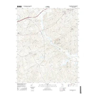
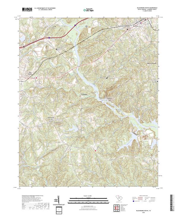
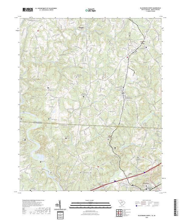 2024 Blacksburg North2024 Print · USGSThe borderlands of the Carolinas come alive in this detailed record of the rural landscape between Shelby and Blacksburg. Local historians can trace family roots through numerous sites like Shoal Creek Baptist Church and historic river crossings at Buck Ford or Ellis Ferry.
End of results
Showing maps 1-21 of 21
Top cities near Blacksburg
- Gastonia historical maps
- Shelby historical maps
- Gaffney historical maps
- Kings Mountain historical maps
- Bessemer City historical maps
- Boiling Springs historical maps
See more
Top neighborhoods of Blacksburg
Frequently asked questions
- What are the different types of historical maps available for Blacksburg?
- What is the oldest map of Blacksburg?
- Where can I purchase historical maps of Blacksburg for my home or office?
- Where can I download high-res historical maps of Blacksburg?
- Are there historical topographic maps available for Blacksburg?
- Is there historical aerial imagery available for Blacksburg?
- Where are historical maps of Blacksburg sourced from?