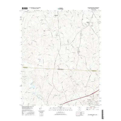
2017 Map of Blacksburg North
USGS Topo · Published 2017About this map
The Broad River and its tributary, the Bowens River, carve through the borderlands of North and South Carolina, anchoring a landscape defined by small rural communities and historic family cemeteries. This area near the Shelby outskirts and Blacksburg is characterized by its numerous memorial sites, including the Sulphur Springs Cemetery and Buffalo Cemetery, which serve as vital markers for genealogical research.
Find a feature on this map
178 named features on this map. Tap any name to fly to it.
Don’t see what you’re looking for? This feature index may not catch every label — zoom into the map to look around manually.
Map Details
Editions of this 2017 Blacksburg North Map
This is the sole edition of this map. No revisions or reprints were ever made.
Other maps of this area

1906 · Kings Mountain
USGS Topo · 1:62,500

1908 · Kings Mountain
USGS Topo · 1:62,500

1909 · Gaffney
USGS Topo · 1:62,500

1909 · Lincolnton
USGS Topo · 1:62,500

1911 · Lincolnton
USGS Topo · 1:62,500

1950 · Shelby
USGS Topo · 1:62,500

1953 · Charlotte
USGS Topo · 1:250,000

1954 · Charlotte
USGS Topo · 1:250,000

1960 · Charlotte
USGS Topo · 1:250,000

1962 · Charlotte
USGS Topo · 1:250,000