
1908 Map of Kings Mountain
USGS Topo · Published 1908About this map
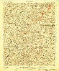
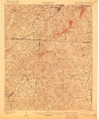
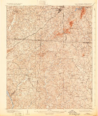
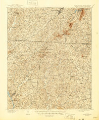
Kings Mountain Battleground stands as a central historical landmark in this early 20th-century survey of the Carolina borderlands. The landscape is defined by the prominent ridge of Kings Mountain, stretching southwest from the bustling town of Kings Mountain through Sherrars Gap and Stepps Gap. This era reveals a rural society built on a network of family-named landmarks and numerous small congregations, such as Bethlehem Church and Beersheba Church. The Southern RR and the Atlanta Line facilitate commerce through settlements like Grover and Crocker, while Bordens Ferry provides a vital crossing of the Broad River in the southwestern corner. Of particular interest to local historians is the site of Piedmont Springs and the early educational presence at Lincoln Academy, reflecting the social infrastructure established before the modernization of the mid-1900s.
Find a feature on this map
71 named features on this map. Tap any name to fly to it.
Don’t see what you’re looking for? This feature index may not catch every label — zoom into the map to look around manually.
Map Details
Editions of this 1908 Kings Mountain Map
6 editions found

Other maps of this area

1906 · Kings Mountain
USGS Topo · 1:62,500

1907 · Sharon
USGS Topo · 1:62,500

1909 · Gaffney
USGS Topo · 1:62,500

1909 · Lincolnton
USGS Topo · 1:62,500

1911 · Lincolnton
USGS Topo · 1:62,500

1914 · Gastonia
USGS Topo · 1:48,000

1916 · Gastonia
USGS Topo · 1:62,500

1941 · Spartanburg
USGS Topo · 1:250,000

1947 · Clover
USGS Topo · 1:62,500

1949 · Clover
USGS Topo · 1:62,500