
1908 Map of Kings Mountain
USGS Topo · Published 1942About this map
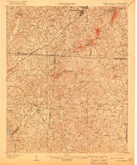
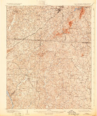
Kings Mountain Battleground stands as a central historical landmark on this topographic survey, marking the site of the significant Revolutionary War engagement amidst the elevated terrain of the Kings Mountain range. The landscape is defined by its ridge system, including The Pinnacle and Henry Knob, which provided a strategic vantage point over the surrounding Piedmont. At the turn of the century, the region was a network of small agrarian communities and religious centers, such as Bethlehem Church and Smyrna Church, connected by the Atlanta and Charlotte Air Line.
Find a feature on this map
60 named features on this map. Tap any name to fly to it.
Don’t see what you’re looking for? This feature index may not catch every label — zoom into the map to look around manually.
Map Details
Editions of this 1908 Kings Mountain Map
6 editions found


Other maps of this area

1906 · Kings Mountain
USGS Topo · 1:62,500

1907 · Sharon
USGS Topo · 1:62,500

1908 · Kings Mountain
USGS Topo · 1:62,500

1909 · Gaffney
USGS Topo · 1:62,500

1909 · Lincolnton
USGS Topo · 1:62,500

1911 · Lincolnton
USGS Topo · 1:62,500

1914 · Gastonia
USGS Topo · 1:48,000

1916 · Gastonia
USGS Topo · 1:62,500

1941 · Spartanburg
USGS Topo · 1:250,000

1947 · Clover
USGS Topo · 1:62,500