
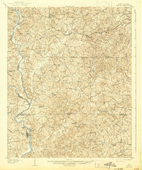
1907 Map of Sharon
USGS Topo · Published 1907About this map
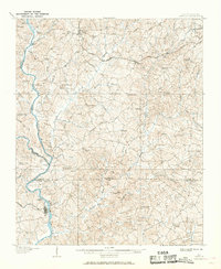
Broad River and the Pacolet River converge in this 1905 survey, defining a landscape at the intersection of York, Chester, and Cherokee counties. The central community of Sharon serves as a local hub along the Southern RR, while small farming settlements like Hickory Grove, Hoodtown, and Abingdon are connected by a network of established wagon roads, including Smith Ford Road and Rutherford Road. The reliance on river crossings is evident through the naming of numerous points of transit such as Pinckney Ferry, Howells Ferry, and Loves Ford.
Find a feature on this map
64 named features on this map. Tap any name to fly to it.
Don’t see what you’re looking for? This feature index may not catch every label — zoom into the map to look around manually.
Map Details
Editions of this 1907 Sharon Map
3 editions found
Other maps of this area

1906 · Kings Mountain
USGS Topo · 1:62,500

1908 · Kings Mountain
USGS Topo · 1:62,500

1909 · Gaffney
USGS Topo · 1:62,500

1941 · Spartanburg
USGS Topo · 1:250,000

1947 · Clover
USGS Topo · 1:62,500

1949 · Clover
USGS Topo · 1:62,500

1949 · Rock Hill
USGS Topo · 1:62,500

1953 · Spartanburg
USGS Topo · 1:250,000

1953 · Charlotte
USGS Topo · 1:250,000

1954 · Charlotte
USGS Topo · 1:250,000