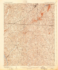
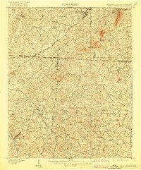
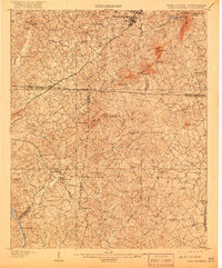
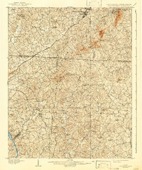
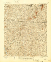
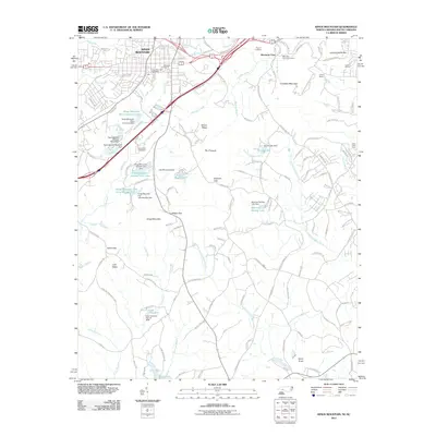
1908 Map of Kings Mountain
USGS Topo · Published 1932About this map
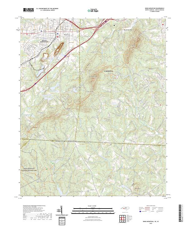
Kings Mountain Battleground stands at the center of this topographic study, documenting the transition between the rolling Piedmont and the prominent peaks of Crowders Mtn and The Pinnacle. Surveyed in the years following the turn of the century, the landscape reveals a dense network of early rural social centers, including Lincoln Academy and numerous houses of worship such as El Bethel Church and Hopewell Church. The arrival of the Southern Railway and the Atlanta and Charlotte Air Line through Grover and Kings Mountain signals the industrial shift of the era, while older transportation methods are still visible at Bordens Ferry on the Broad River. Mineral springs like Althealing Spring and Piedmont Springs highlight the region's early 20th-century draw as a destination for health and respite.
Find a feature on this map
70 named features on this map. Tap any name to fly to it.
Don’t see what you’re looking for? This feature index may not catch every label — zoom into the map to look around manually.
Map Details
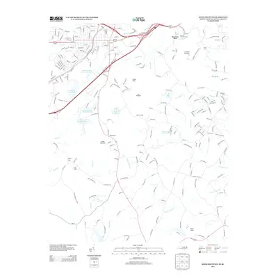
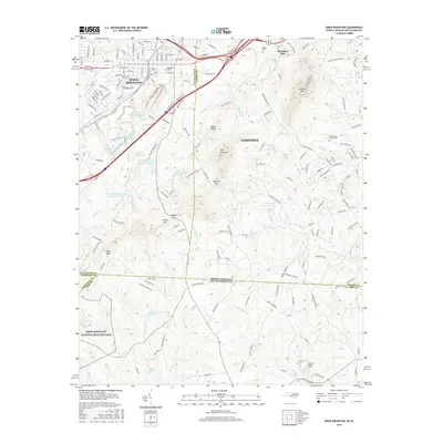
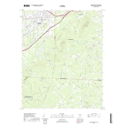
Editions of this 1908 Kings Mountain Map
6 editions found

Historical Maps of Gastonia Through Time
11 maps found

1906 Kings Mountain
Cleveland County, NC
1908 Kings Mountain
Cleveland County, NC
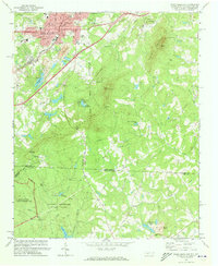
1971 Kings Mountain
Cleveland County, NC

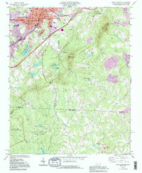
1976 Kings Mountain
Cleveland County, NC
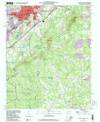
1993 Kings Mountain
Cleveland County, NC
1997 Kings Mountain
Cleveland County, NC
2011 Kings Mountain
Cleveland County, NC
2013 Kings Mountain
Cleveland County, NC
2016 Kings Mountain
Cleveland County, NC
2019 Kings Mountain
Cleveland County, NC
2022 Kings Mountain
Cleveland County, NC