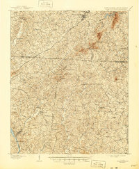
1908 Map of Kings Mountain
USGS Topo · Published 1946About this map
Kings Mountain National Military Park preserves the site of a pivotal Revolutionary War battle, dominating the center of this landscape where the borders of North Carolina and South Carolina meet. The survey reveals a network of early 20th-century rural infrastructure, from the Bordens Ferry crossing the Broad River to the steel spans of Buffalo Bridge and Graham Bridge. The area is densely dotted with community landmarks, particularly country churches like Hopewell Church, Beersheba Church, and Ramah Church, which served as the social anchors for scattered homesteads.
Find a feature on this map
63 named features on this map. Tap any name to fly to it.
Don’t see what you’re looking for? This feature index may not catch every label — zoom into the map to look around manually.
Map Details
Editions of this 1908 Kings Mountain Map
6 editions found
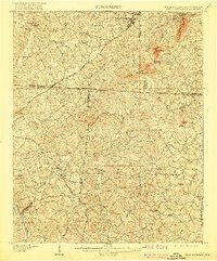
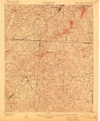
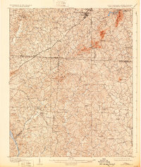

Other maps of this area

1906 · Kings Mountain
USGS Topo · 1:62,500

1907 · Sharon
USGS Topo · 1:62,500

1908 · Kings Mountain
USGS Topo · 1:62,500

1909 · Gaffney
USGS Topo · 1:62,500

1909 · Lincolnton
USGS Topo · 1:62,500

1911 · Lincolnton
USGS Topo · 1:62,500

1914 · Gastonia
USGS Topo · 1:48,000

1916 · Gastonia
USGS Topo · 1:62,500

1941 · Spartanburg
USGS Topo · 1:250,000

1947 · Clover
USGS Topo · 1:62,500