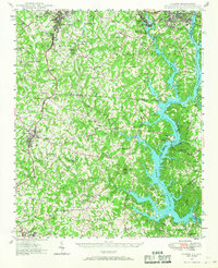
1949 Map of Clover
USGS Topo · Published 1949About this map
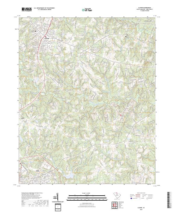
Lake Wylie dominates the eastern portion of this survey, with the Catawba River and its South Fork forming a complex shoreline along the border of Gaston, Mecklenburg, and York counties. In the late 1940s, this region was a critical industrial and transportation corridor, anchored by the Carolina and Northwestern Ry and the Southern Ry. The map details the transition from the manufacturing centers of South Gastonia and Belmont to the more rural landscape around Clover and York. Notable social infrastructure includes a high density of rural institutions such as the Shiny Eye Sch, Weeping Mary Ch, and the State Textile Sch. Prominent topographical landmarks like Nanny Mtn and Jackson Knob rise above the branching creeks that feed the reservoir, including Allison Creek and Crowders Creek.
Find a feature on this map
104 named features on this map. Tap any name to fly to it.
Don’t see what you’re looking for? This feature index may not catch every label — zoom into the map to look around manually.
Map Details
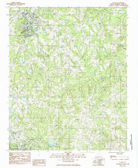
Editions of this 1949 Clover Map
This is the sole edition of this map. No revisions or reprints were ever made.
Historical Maps of Charlotte Through Time
8 maps found