Old Maps of Tabor City, North Carolina
Explore 17 old maps of Tabor City, spanning from 1953 to today. These high-resolution historic maps reveal how streets, neighborhoods, landmarks, and natural features evolved over time — perfect for genealogy, metal detecting, research, and local history exploration.
What you can do with these maps:
- See how Tabor City changed over time: Compare historical maps to modern-day views to trace roads, homesites, rail lines & more.
- View detailed metadata: Each map includes creators, publishers, year, scale, and archive source.
- Overlay maps with satellite & LiDAR: Visualize the past alongside modern tools to explore terrain & human change.
- Trusted historical sources: Maps sourced from the USGS, Library of Congress, and other archives.
- Access maps your way: View online, download high-res files, or order prints for personal or research use.
Start exploring old maps of Tabor City to uncover forgotten places, hidden landmarks, and the deep history beneath your feet.
Tabor City, NC maps
(17)- 1953 Map of Florence, 1964 Print
 1953 Florence1964 Print · USGSThe Carolina borderlands in the mid-fifties were a landscape of vast river swamps and rising rail towns. Trace the legacy of the Seaboard Air Line through Florence or explore the wetlands surrounding Lake Waccamaw and the Green Swamp.3 unique versions available
 - 1954 Map of Florence
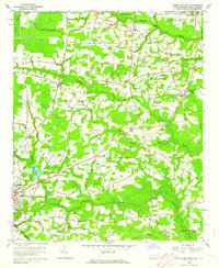
 1954 Florence1954 Print · USGSThe Carolinas borderlands come alive in the early fifties, showing the vital rail-and-river networks of the coastal plain. Genealogists can trace family footprints across the Green Swamp or through settlements like Red Springs, Chadbourn, and McColl.
 - 1962 Map of Tabor City West, 1964 Print
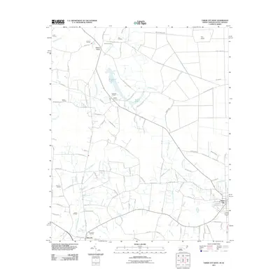
 1962 Tabor City West1964 Print · USGSThe Carolina borderlands in the early sixties reveal a landscape of dense swamps and scattered homesteads between North and South Carolina. Genealogists and local historians can trace family sites like Strickland Cemetery and churches including Little Bethel near the Atlantic Coast Line rail corridor.2 unique versions available
 - 1962 Map of Tabor City East, 1964 Print
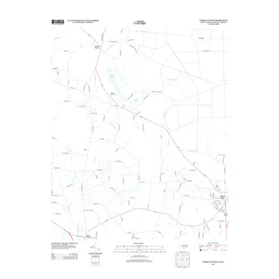
 1962 Tabor City East1964 Print · USGSThe borderlands of North and South Carolina are captured here in the early 1960s, showing a landscape defined by the railroad and low-lying swamp drainage. Researchers can trace family history through Township School and numerous rural cemeteries like Prince Cem and Todd Cem.
 - 1962 Map of Tabor City, 1965 Print
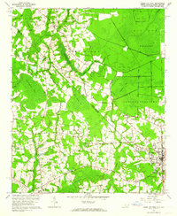
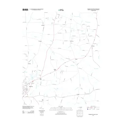
 1962 Tabor City1965 Print · USGSThe borderlands of the Carolinas come alive in the early sixties as a network of rail-side towns and crossroads communities. Genealogists and local historians can trace family-named landmarks like Goretown, Jernigans Crossroads, and Cribb Town among the vast bay and swamp systems.
 - 1986 Map of Whiteville
 1986 Whiteville1986 Print · USGSSoutheastern North Carolina and the South Carolina borderlands are captured here in the mid-1980s as a landscape of vast swamps and rail towns. Researchers can trace historic rail routes through Chadbourn, locate the namesake Lake Waccamaw, and explore family-named sites like Peacocks.
 - 1990 Map of Whiteville
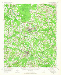
 1990 Whiteville1990 Print · USGSSoutheastern North Carolina and the South Carolina borderlands appear in the late twentieth century, showing a landscape of river-swamps and tobacco towns. Researchers can trace family history through sites like Mount Olive Ch, the Seaboard Coast Line RR, and rural centers like Tabor City.
 - 2011 Map of Tabor City East, 2011 Print
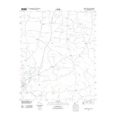 2011 Tabor City East2011 Print · USGSCovers Tabor City, including New Life, Emerson, and other nearby areas
 - 2011 Map of Tabor City West, 2011 Print
 2011 Tabor City West2011 Print · USGSCovers Tabor City, including Cherry Grove, Green Sea, and other nearby areas
 - 2013 Map of Tabor City East, 2013 Print
 2013 Tabor City East2013 Print · USGSCovers Tabor City, including New Life, Emerson, and other nearby areas
 - 2013 Map of Tabor City West, 2013 Print
 2013 Tabor City West2013 Print · USGSCovers Tabor City, including Cherry Grove, Green Sea, and other nearby areas
 - 2016 Map of Tabor City West, 2016 Print
 2016 Tabor City West2016 Print · USGSCovers Tabor City, including Cherry Grove, Green Sea, and other nearby areas
 - 2016 Map of Tabor City East, 2016 Print
 2016 Tabor City East2016 Print · USGSCovers Tabor City, including New Life, Emerson, and other nearby areas
 - 2019 Map of Tabor City East, 2019 Print
 2019 Tabor City East2019 Print · USGSCovers Tabor City, including New Life, Emerson, and other nearby areas
 - 2019 Map of Tabor City West, 2019 Print
 2019 Tabor City West2019 Print · USGSCovers Tabor City, including Cherry Grove, Green Sea, and other nearby areas
 - 2022 Map of Tabor City East, 2022 Print
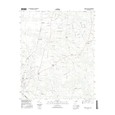
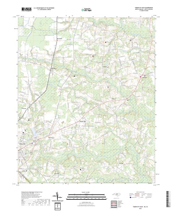 2022 Tabor City East2022 Print · USGSCoastal plains and swamp networks define this borderland region in the early 2020s. Researchers can trace numerous rural family cemeteries and small crossroads settlements like Cribb Town, Vinegar Hill, and Myrtle Green Cem.
 - 2022 Map of Tabor City West, 2022 Print
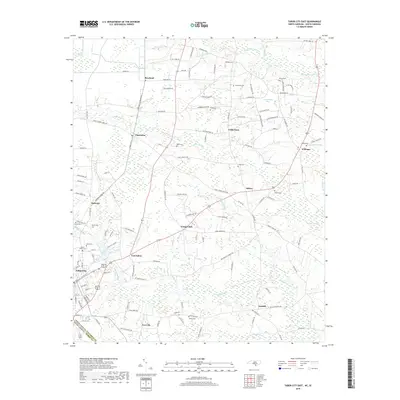
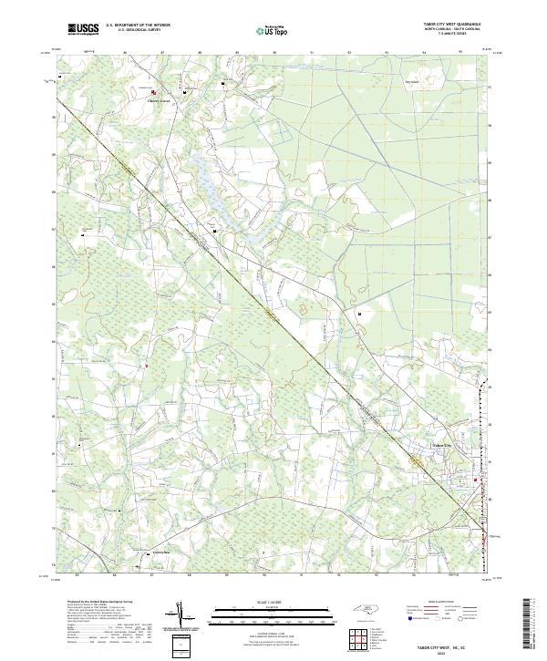 2022 Tabor City West2022 Print · USGSThe North and South Carolina borderlands come alive in this detailed recent survey of the Coastal Plain. Genealogists and local historians can trace family locations near Tabor City, Green Sea, and historic burial sites like Strickland Cem and Gapway Cem.
End of results
Showing maps 1-17 of 17
Top cities near Tabor City
- Whiteville historical maps
- Loris historical maps
- Chadbourn historical maps
- Fair Bluff historical maps
- Brunswick historical maps
- Cerro Gordo historical maps
Top neighborhoods of Tabor City
Frequently asked questions
- What are the different types of historical maps available for Tabor City?
- What is the oldest map of Tabor City?
- Where can I purchase historical maps of Tabor City for my home or office?
- Where can I download high-res historical maps of Tabor City?
- Are there historical topographic maps available for Tabor City?
- Is there historical aerial imagery available for Tabor City?
- Where are historical maps of Tabor City sourced from?