
1953 Map of Florence
USGS Topo · Published 1964About this map
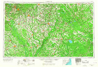
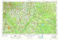
The Lumber River and Great Pee Dee River systems dominate this mid-century landscape across the Carolina borderlands, anchoring a region defined by extensive wetlands and forest preserves. The map reveals the intricate hydrology of the coastal plain, where the vast Green Swamp sits south of Lake Waccamaw, and numerous "bays" such as Terrell Bay and Tussock Bay dot the terrain. These natural features shaped the development of rail-oriented towns like Laurinburg, Lumberton, and Florence, which served as regional hubs for the surrounding agricultural and timber lands.
Find a feature on this map
92 named features on this map. Tap any name to fly to it.
Don’t see what you’re looking for? This feature index may not catch every label — zoom into the map to look around manually.
Map Details
Editions of this 1953 Florence Map
3 editions found
Other maps of this area

1909 · Coharie
USGS Topo · 1:62,500

1920 · Mayesville
USGS Topo · 1:48,000

1921 · Mayesville
USGS Topo · 1:62,500

1937 · Nixonville
USGS Topo · 1:48,000

1940 · Florence West
USGS Topo · 1:62,500

1940 · Florence East
USGS Topo · 1:62,500

1941 · Spartanburg
USGS Topo · 1:250,000

1942 · Troy
USGS Topo · 1:125,000

1942 · Burgaw
USGS Topo · 1:62,500

1942 · Nixonville
USGS Topo · 1:62,500