Old Maps of Lumberton, North Carolina
Explore 34 old maps of Lumberton, spanning from 1953 to today. These high-resolution historic maps reveal how streets, neighborhoods, landmarks, and natural features evolved over time — perfect for genealogy, metal detecting, research, and local history exploration.
What you can do with these maps:
- See how Lumberton changed over time: Compare historical maps to modern-day views to trace roads, homesites, rail lines & more.
- View detailed metadata: Each map includes creators, publishers, year, scale, and archive source.
- Overlay maps with satellite & LiDAR: Visualize the past alongside modern tools to explore terrain & human change.
- Trusted historical sources: Maps sourced from the USGS, Library of Congress, and other archives.
- Access maps your way: View online, download high-res files, or order prints for personal or research use.
Start exploring old maps of Lumberton to uncover forgotten places, hidden landmarks, and the deep history beneath your feet.
Lumberton, NC maps
(34)- 1953 Map of Florence, 1964 Print
 1953 Florence1964 Print · USGSThe Carolina borderlands in the mid-fifties were a landscape of vast river swamps and rising rail towns. Trace the legacy of the Seaboard Air Line through Florence or explore the wetlands surrounding Lake Waccamaw and the Green Swamp.3 unique versions available
 - 1954 Map of Florence
 1954 Florence1954 Print · USGSThe Carolinas borderlands come alive in the early fifties, showing the vital rail-and-river networks of the coastal plain. Genealogists can trace family footprints across the Green Swamp or through settlements like Red Springs, Chadbourn, and McColl.
 - 1957 Map of Bladenboro, 1958 Print
 1957 Bladenboro1958 Print · USGSCoastal plain swamp lands and small railroad towns meet in the 1950s along the border of Robeson and Bladen counties. Genealogists can trace family landmarks like Floyd Temple Ch, the Littlefield High Sch, and the historic path of the Old Stage Road.
 - 1972 Map of Northwest Lumberton, 1975 Print
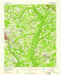
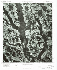
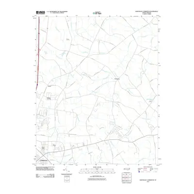
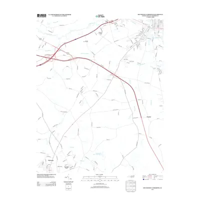
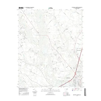
 1972 Northwest Lumberton1975 Print · USGSThe northern edge of Lumberton in the early 1970s reveals a rural landscape deeply tied to the wetlands of the Lumber River. Genealogists can locate family-named sites like Mc Niell Cem and community landmarks such as Bethel Hill Ch and Saddletree.2 unique versions available
 - 1972 Map of Southwest Lumberton, 1975 Print
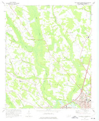
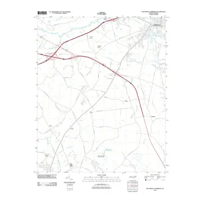
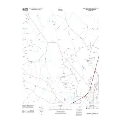
 1972 Southwest Lumberton1975 Print · USGSRobeson County in the early seventies is a landscape of expansive blackwater wetlands and rural crossroads south of the county seat. Researchers can trace the heritage of local communities through landmarks like the Rosenwald Sch, Prevatte Cem, and Thompson Chapel.2 unique versions available
 - 1976 Map of Southwest Lumberton
 1976 Southwest Lumberton1976 Print · USGSRobeson County in the mid-seventies is captured from the air, showing the precise layout of fields and forest before modern expansion. Researchers can trace the established streets of Lumberton or find the early boundaries of East Side Park and Fairmont.
 - 1976 Map of Northwest Lumberton, 1978 Print
 1976 Northwest Lumberton1978 Print · USGSThe northern reaches of Lumberton meet the rural Robeson County landscape in the mid-1970s. Researchers can trace the era's land use through the detailed aerial views of Saddletree Swamp and the secluded Circle T Lake.
 - 1982 Map of Elizabethtown, 1983 Print
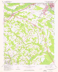
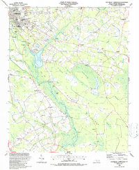
 1982 Elizabethtown1983 Print · USGSSoutheastern North Carolina's coastal plain is captured here in the early eighties, showcasing a landscape defined by the Cape Fear River and mysterious Carolina Bays. Genealogists and researchers can trace the rail network of the Seaboard Coast Line through rural communities like Autryville, Ivanhoe, and the recreational hub of White Lake.
 - 1983 Map of Laurinburg, 1984 Print
 1983 Laurinburg1984 Print · USGSThe Carolina borderlands come into focus in the early 1980s, showcasing a landscape defined by the Sandhills Game Land and major river systems. Genealogists and rail historians can trace the paths of the Seaboard Coast Line Railroad through Hamlet or locate St Andrews College and Cheraw State Park.2 unique versions available
 - 1986 Map of Southeast Lumberton, 1987 Print
 1986 Southeast Lumberton1987 Print · USGSSoutheast of Lumberton in the mid-1980s, the landscape is a complex puzzle of river bluffs and mysterious Carolina bays. Genealogists and local historians can trace rural communities around Smyrna Ch, Long Branch Sch, and the landings along the Lumber River.
 - 1986 Map of Northeast Lumberton, 1987 Print
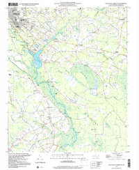
 1986 Northeast Lumberton1987 Print · USGSRobeson County in the mid-1980s shows the expanding footprint of Lumberton alongside its rural roots and Carolina Bay topography. Genealogists and local historians can trace family locations at Thomas Cem and Barkers Ch or explore the area around Robeson Tech Inst.
 - 1997 Map of Southwest Lumberton, 2000 Print
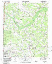
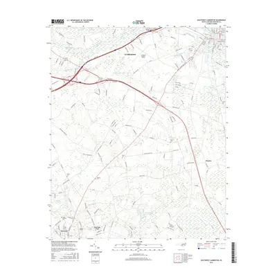
 1997 Southwest Lumberton2000 Print · USGSRobeson County near the South Carolina border was characterized by a mosaic of Carolina Bays and riparian swamplands at the close of the twentieth century. Genealogists can trace family names and community anchors at Rosenwald Sch, Floyd Memorial Cem, and Smyrna Ch.
 - 1997 Map of Southeast Lumberton, 2000 Print
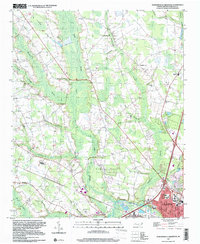
 1997 Southeast Lumberton2000 Print · USGSSoutheast of Lumberton in the late nineties, the landscape was a mosaic of Carolina bays and riverside landings along the Lumber River. Genealogists and local historians can trace legacy sites like the Long Branch Sch, Robeson Memorial Park, and the Warwick Mill Pond area.
 - 1997 Map of Northwest Lumberton, 2000 Print
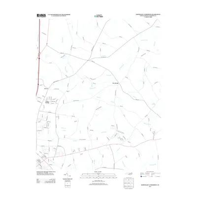
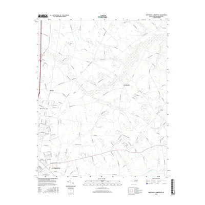
 1997 Northwest Lumberton2000 Print · USGSNorthwest of the Lumber River in the late nineties, this area shows the growth of the Robeson County seat alongside ancient swamp systems. Researchers can locate numerous family burial grounds and country churches like Mc Niell Cem, Saddletree Ch, and Magnolia High Sch.
 - 2010 Map of Northwest Lumberton, 2010 Print
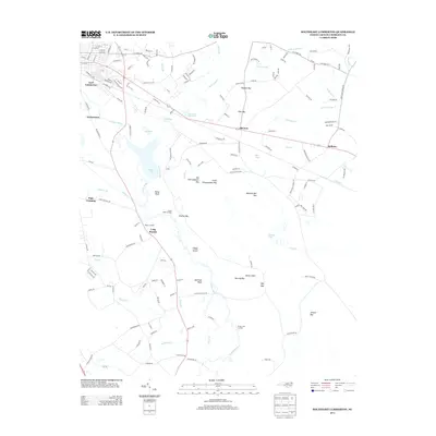
 2010 Northwest Lumberton2010 Print · USGSCovers Lumberton, including Saddletree, Lowe, and other nearby areas
 - 2010 Map of Southeast Lumberton, 2010 Print
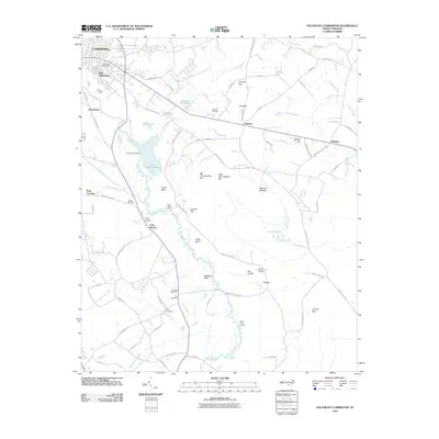 2010 Southeast Lumberton2010 Print · USGSCovers Lumberton, including Hestertown, Bellamy, and other nearby areas
 - 2010 Map of Northeast Lumberton, 2010 Print
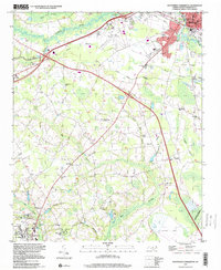
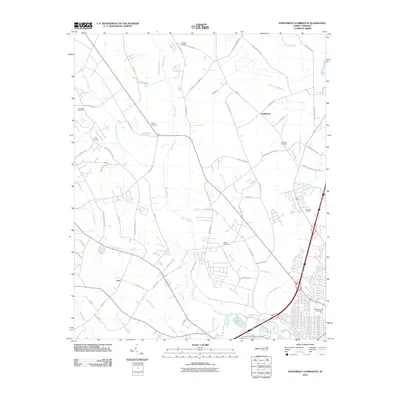
 2010 Northeast Lumberton2010 Print · USGSCovers Lumberton, including Barker Ten Mile, Howellsville, and other nearby areas
 - 2010 Map of Southwest Lumberton, 2010 Print
 2010 Southwest Lumberton2010 Print · USGSCovers Lumberton, including Fairmont, East Side Park, and other nearby areas
 - 2013 Map of Northeast Lumberton, 2013 Print
 2013 Northeast Lumberton2013 Print · USGSCovers Lumberton, including Barker Ten Mile, Howellsville, and other nearby areas
 - 2013 Map of Southeast Lumberton, 2013 Print
 2013 Southeast Lumberton2013 Print · USGSCovers Lumberton, including Hestertown, Bellamy, and other nearby areas
 - 2013 Map of Southwest Lumberton, 2013 Print
 2013 Southwest Lumberton2013 Print · USGSCovers Lumberton, including Fairmont, East Side Park, and other nearby areas
 - 2013 Map of Northwest Lumberton, 2013 Print
 2013 Northwest Lumberton2013 Print · USGSCovers Lumberton, including Saddletree, Lowe, and other nearby areas
 - 2016 Map of Northeast Lumberton, 2016 Print
 2016 Northeast Lumberton2016 Print · USGSCovers Lumberton, including Barker Ten Mile, Howellsville, and other nearby areas
 - 2016 Map of Southwest Lumberton, 2016 Print
 2016 Southwest Lumberton2016 Print · USGSCovers Lumberton, including Fairmont, East Side Park, and other nearby areas
 - 2016 Map of Northwest Lumberton, 2016 Print
 2016 Northwest Lumberton2016 Print · USGSCovers Lumberton, including Saddletree, Lowe, and other nearby areas
Showing maps 1-25 of 34
Top cities near Lumberton
- Fairmont historical maps
- Pembroke historical maps
- Bladenboro historical maps
- Rennert historical maps
- Butters historical maps
- Boardman historical maps
See more
Top neighborhoods of Lumberton
Frequently asked questions
- What are the different types of historical maps available for Lumberton?
- What is the oldest map of Lumberton?
- Where can I purchase historical maps of Lumberton for my home or office?
- Where can I download high-res historical maps of Lumberton?
- Are there historical topographic maps available for Lumberton?
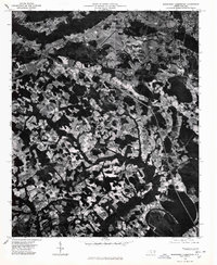
- Is there historical aerial imagery available for Lumberton?
- Where are historical maps of Lumberton sourced from?